Elevate your point cloud workflow with Pointorama's classification tool
Streamline your surveying and construction workflow with Pointorama's classification tool. Enhance precision, improve organization, and boost collaboration with our powerful point cloud technology. Explore the benefits today!
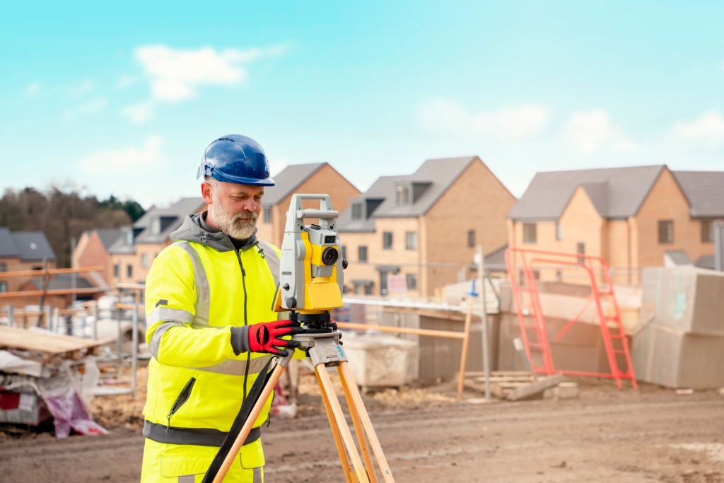
What is the classification tool in point clouds?
The classification tool involves categorizing various elements within a point cloud to improve data management and facilitate more accurate analysis. This is particularly useful in complex projects where multiple objects and components need to be isolated, highlighted, or hidden for further processing.
Object recognition: the foundation of classification
Pointorama's object detection or recognition tool is at the heart of our classification process. With this tool, users can quickly and accurately select objects within a point cloud. The intuitive interface allows you to:
- IsolateIsolate objects to analyze them individually, ensuring precise modifications and assessments.
- HighlightEmphasize specific objects within the model to make them stand out for better visibility.
- HideTemporarily remove objects from view to reduce clutter and focus on other components.
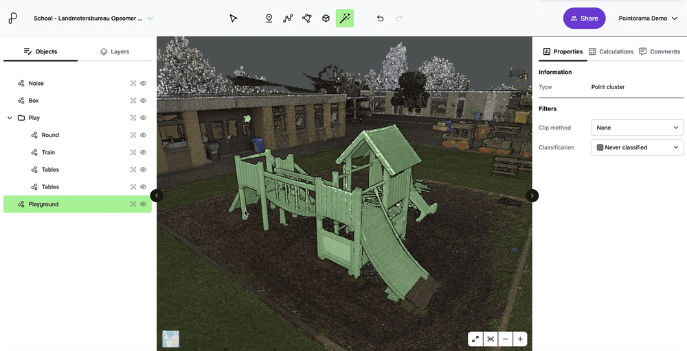
Defining classes for better organization
When working with numerous objects in close proximity, managing them individually can become overwhelming. Pointorama's classification tool addresses this by allowing you to define classes. A class groups objects with similar characteristics or functions, making it easier to manage and manipulate them as a collective.
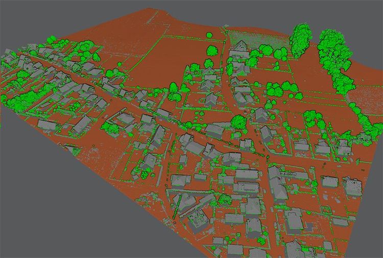
Why classes make a difference
- Enhanced organizationGrouping similar objects together streamlines your workflow and keeps your project organized.
- Efficient processingApply actions to an entire class rather than individual objects, saving time and reducing repetitive tasks.
- Improved analysisAnalyze specific categories of objects more effectively, ensuring that no detail is overlooked.
- Simplified collaborationShare classified point clouds with stakeholders, providing a clearer understanding of the project layout and status.
See the classification tool in action
Getting started with Pointorama's classification tool
Embracing the classification tool in Pointorama is straightforward. Here's how to get started.
- 01
Scan & upload
Begin by scanning your site and uploading the point cloud data to Pointorama.
- 02
Object detection
Use the object detection tool to select and highlight the objects of interest.
- 03
Define classes
Group similar objects into classes based on their characteristics or functions.
- 04
Manage & analyze
Apply actions to entire classes for efficient processing and detailed analysis.
Take your project management to the next level
Pointorama's classification tool is a powerful addition to your surveying and construction toolkit. By enabling quick object detection and efficient class definition, it enhances your ability to manage complex projects with ease. Whether you're working on a detailed BIM model or managing a large construction site, the classification tool ensures that your workflow is both efficient and effective.
Explore the benefits of Pointorama's classification tool today and take your project management to the next level. Visit our product tour or contact our support team for more information.
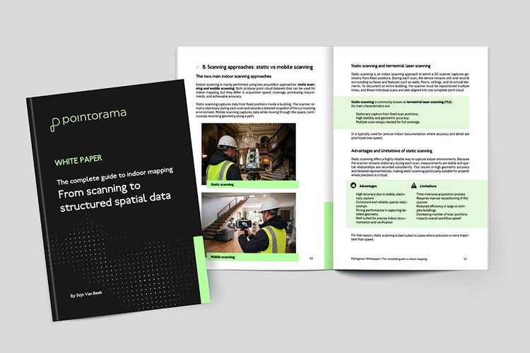
Download your free white paper on indoor mapping
Dive into the fundamentals of indoor mapping and better understand the technology behind the workflow. Download our free white paper and discover how scanning, point clouds and floor plan generation come together.
Related articles
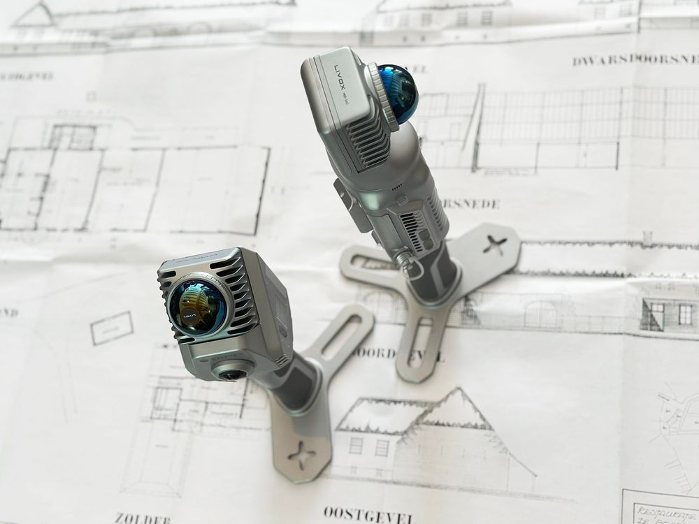
The fastest way to create accurate floor plans
Our community is growing, and therefore an introduction is in order. Pointorama turns scans into accurate 2D and 3D floor plans within minutes. With centimeter-level precision and seamless export to CAD and BIM, professionals can work faster, smarter and without the hassle of manual cleanup.
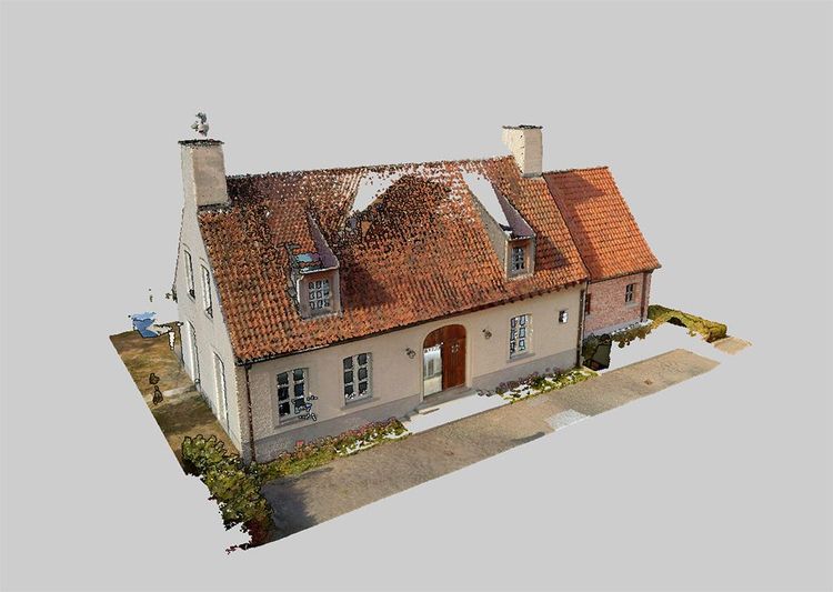
Think you know Pointorama? Think again
If you visited Pointorama at a trade show last year, there's a good chance you remember us as an innovative platform for viewing and processing indoor point clouds. That description is no longer sufficient.
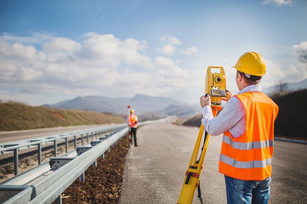
Choosing between static and kinematic scanning: finding the right fit
Looking for precision or speed? Static scanning captures ultra-detailed data from fixed points, perfect for architecture and engineering. Kinematic scanning maps large areas quickly, ideal for roads and urban planning. Each has its strengths - discover which one suits your project best!