Join us at GEO Business 2024: Unlocking geospatial innovation with Pointorama
We're thrilled to announce that we are participating in this year's GEO Business, taking place from 4th to 5th June at ExCeL London. During this great event, we are launching our new Point Cloud Platform, Pointorama, a cutting-edge technology in the world of Point Clouds.
Introducing Pointorama
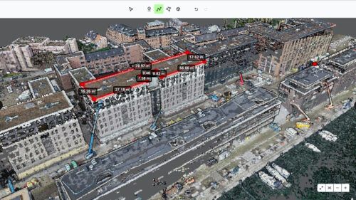
Pointorama is more than just a point cloud platform; it's a catalyst for innovation, efficiency, and collaboration. Our cutting-edge technology is designed to take your point cloud projects to new heights, offering a seamless experience that empowers you to achieve more. With Pointorama, it's time to move your point clouds to the next level and unlock new possibilities.
Learn from experts, network and collaborate @ GEO Business
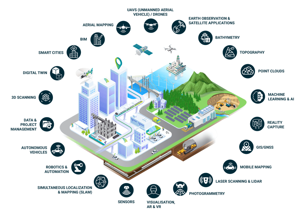
GEO Business connects you with the geospatial community and showcases the latest innovations from over 130 leading brands. It's an ideal platform to introduce Pointorama and highlight how it revolutionizes workflows.
The event features insightful talks and sessions by industry experts, offering valuable perspectives on geospatial technology trends. Beyond technology, GEO Business is a hub for networking and collaboration. Connect with professionals, exchange ideas, and forge partnerships in the geospatial sector. Whether you're keen on Pointorama or seeking collaborations, this event is your opportunity to connect.
Save the date
Mark your calendars for 4th and 5th June 2024 and join us at ExCeL London for GEO Business. Experience firsthand how Pointorama is revolutionizing the point cloud landscape and shaping the future of geospatial technology.
We look forward to seeing you there! Need more information? Visit the official website.
Related articles
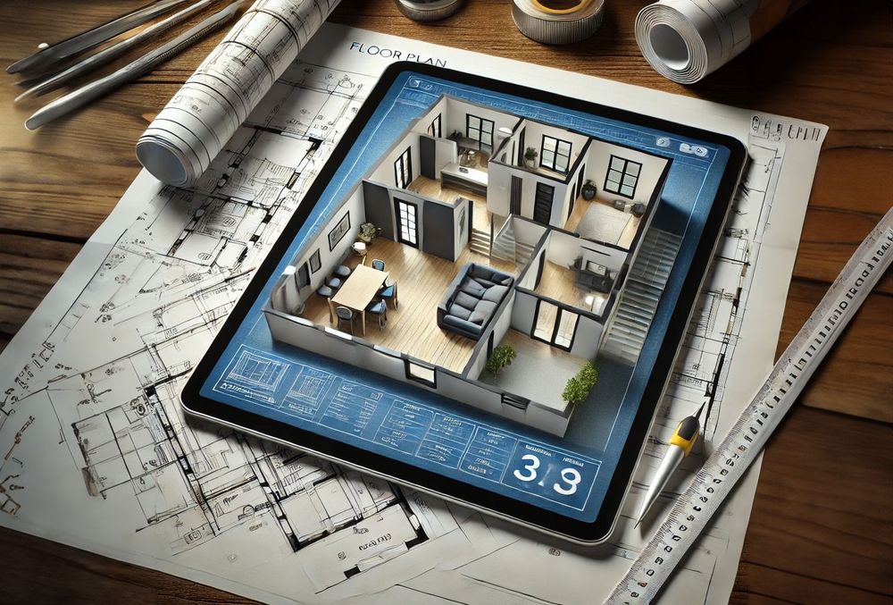
Transforming real estate with 3D scanning
3D scanning is revolutionizing real estate by providing fast, accurate property measurements and detailed floor plans. With SLAM technology, professionals can quickly map properties and eliminate outdated blueprints. Tools like Pointorama turn raw scans into actionable insights, improving efficiency and decision-making.
Smarter floor plan creation with 3D tools and intelligent measurements
Pointorama combines 3D floor plan creation with smart, built-in measurements - offering surveyors and construction professionals a faster, more accurate way to turn scans into actionable floorplans, even in complex spaces.
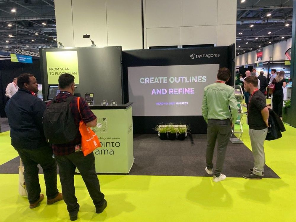
Discover at Trefdag how to get from measurement data to deliveries faster
Meet Pythagoras at Trefdag Digitaal Vlaanderen on 22 October, stand 45. Discover how Pythagoras CAD and Pointorama help geospatial professionals work faster, automate repetitive tasks and turn measurement data into usable results.