Get Ready for INTERGEO 2024 in Stuttgart with us!
We're gearing up for an exciting event this September – INTERGEO 2024 in Stuttgart! As an exhibitor, we're eager to connect with industry peers and geoinformation enthusiasts.

We’re gearing up for an exciting event this September 24-26 – INTERGEO 2024 in Stuttgart! As an exhibitor, we’re eager to connect with industry peers and geoinformation enthusiasts. This event promises to be a blend of networking opportunities, trendspotting, and a deep dive into the evolving landscape of geoinformation technology. You can find us at booth D5.057 in Hall 5.
Get your free voucher!
Mail now and redeem a free voucher for the 3-Day EXPO ticket and thus save € 120.00!
Two standout products reshaping the geoinformation space
At INTERGEO 2024, we’ll be highlighting two standout products that are reshaping the geoinformation space.
Turn diverse geodata into CAD-ready deliverables
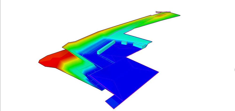
Our Pythagoras CAD software is a game-changer for professionals across various sectors. Whether you’re in surveying, indoor mapping, or UAV operations, this software offers intelligent algorithms that effortlessly transform diverse geodata into CAD-ready deliverables. From total stations and GPS instruments to UAVs and laser scanners, Pythagoras Software streamlines data processing, making complex tasks feel like a breeze.
Take your point cloud projects to the next level
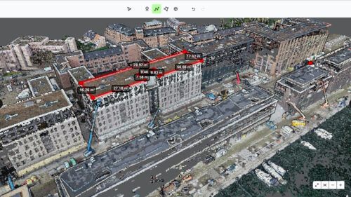
Looking to take your point cloud projects to the next level? Our Pointorama Platform is the answer. Beyond being a point cloud platform, Pointorama sparks innovation and fosters collaboration. With our cutting-edge technology, you can expect more than just processing – you can expect transformation.
Save the date
Mark your calendars for September 24 to 26 and make sure to visit our booth at INTERGEO 2024 in Stuttgart. Let’s come together to inspire, innovate, and shape the future of geoinformation technology.
We can’t wait to see you there!
Let’s connect!
INTERGEO 2024 isn’t just an event; it’s a collaborative journey towards shaping the future of the geoinformation industry. As exhibitors, we’re excited to be part of this dynamic community and contribute to its growth.
We’re excited to announce that we’ll be exhibiting at INTERGEO in Stuttgart from September 24th to 26th. Visit us at Booth D5.057 to discover our latest innovations and solutions.
Claim your free voucher!
Want to attend INTERGEO for free? Simply send us an email and receive a complimentary voucher for the event. Don’t miss out on this exclusive opportunity!
See you at InterGEO 2024!
Related articles
Partnering with OmniSLAM to deliver project-ready mobile SLAM data
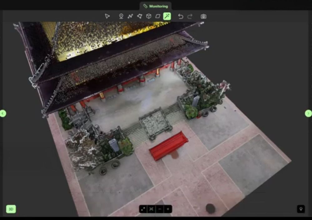
Pythagoras and OmniSLAM collaborate to convert mobile SLAM scans into reliable, project-ready CAD and BIM deliverables using an open platform approach.

4 Questions we get asked most about scan-to-floorplan
When we demonstrate Pointorama’s Scan-to-Floorplan technology, people quickly see how a point cloud can be transformed into an accurate floor plan. But once they start thinking about using it in their own projects, the same practical questions often come up.
Pointorama on tour: meet us at key events in 2026
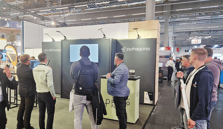
Meet Pointorama at key events in 2026. Discover new features, explore innovations and connect with our team across Europe.In 2026, Pointorama will be present at leading geospatial events across Europe, including GeoBusiness, Intergeo and Trefdag Digitaal Vlaanderen. Discover our latest innovations, explore new workflows and experience how much our technology has evolved when you meet us in person.