Turn indoor scans intoprecise floor plans
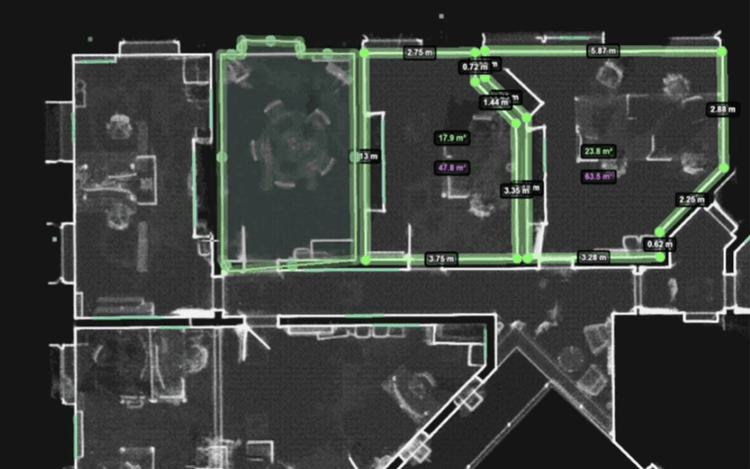
Automatically detect floors, rooms, doors and windows from your point cloud. Generate precise 2D and 3D floor plans in minutes, with no manual cleanup required.
- Billions
- of points
- 2D · 3D
- floor plans
- DXF · IFC
- export-ready
- Survey-grade
- precision
The challenge
You need accurate dimensions, but you don't have a floor plan.
You need the exact measurements of a house or building, but the floor plans are outdated, incomplete or simply don't exist.
So what do you do? Spend hours measuring on site or reconstruct everything manually? Make scans, outsource the drawing work, organize countless meetings and still end up with results that don't match what you needed?
You could capture the building with a 3D scanner, but then what? Within minutes, you have millions of data points, yet still no floor plan.
Scanning captures reality quickly. Traditionally, however, transforming scan data into an accurate floor plan is time-consuming and manual.
Pointorama changes that.

Facade plans & sections
BIM model

IFC & DXF export

Floor detection

Room detection

Window & door detection

Sharing
The solution
Pointorama transforms raw scan data into accurate, structured floor plans, in just a few clicks.
Turn complex scan data into a usable floor plan in minutes instead of hours. Pointorama combines intelligent automation with the flexibility to review and refine every detail, giving you a faster workflow without compromising on accuracy.
Fast when you need speed. Precise when you need accuracy. Always delivered with survey-grade reliability.
- Instant floor, room, door & window detection
- One click
- With a single click, Pointorama automatically detects floors, rooms, doors and windows directly from your scan data. Within seconds, you have a complete, structured floor plan ready for review and further refinement.
- Review & refine geometry
- Full control
- Automation gives you a strong starting point while keeping you fully in control. Review the detected geometry, adjust walls, rooms and openings where needed. Refine dimensions to ensure the floor plan accurately reflects reality.
- Precise & consistent
- Survey accuracy
- Built on precise measurements and consistent geometry, Pointorama preserves the integrity of your scan data. The result is an accurate floor plan you can confidently use for professional documentation and technical workflows.
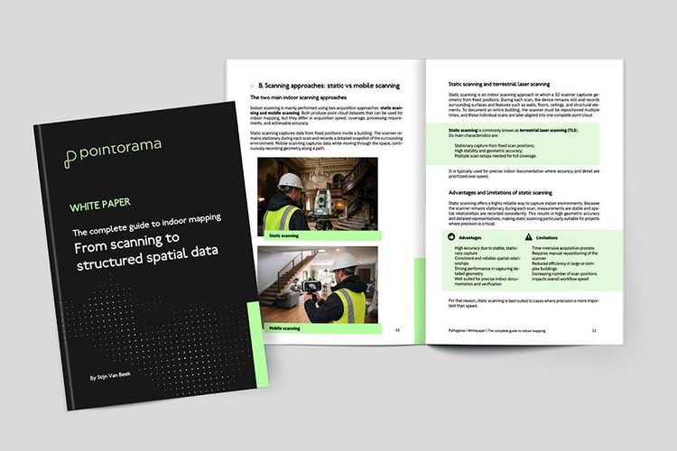
Free white paper
Indoor mapping explained
A complete introduction to the fundamentals of indoor mapping.
In this free white paper, you'll discover the technology behind scanning and point clouds. You'll learn how buildings are transformed into digital floor plans. And you'll explore real-world use cases in BIM, real estate and facility management.
From the blog
Related articles
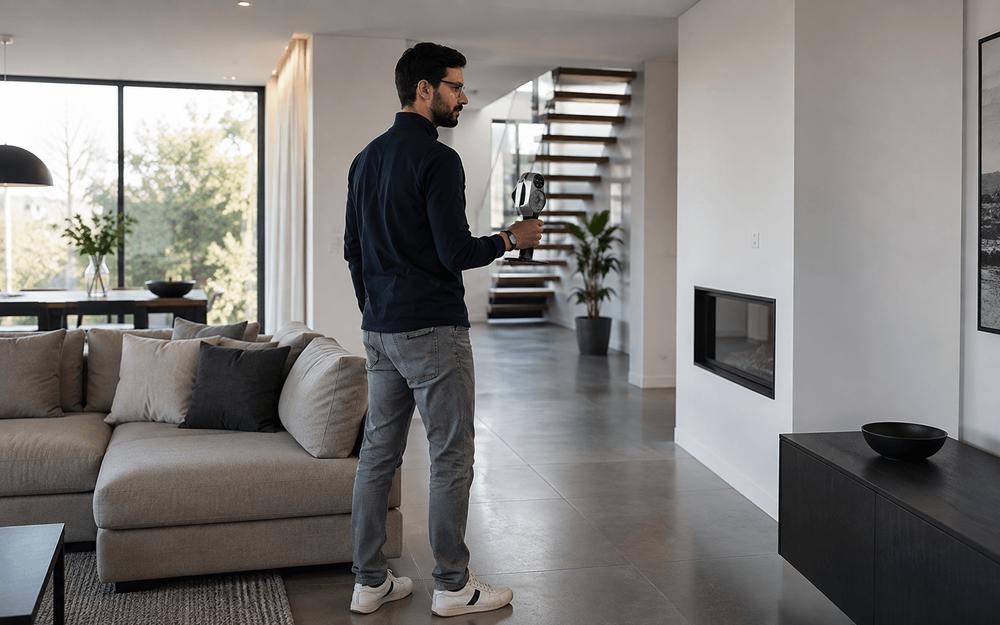
4 Questions we get asked most about scan-to-floorplan
When we demonstrate Pointorama’s Scan-to-Floorplan technology, people quickly see how a point cloud can be transformed into an accurate floor plan. But once they start thinking about using it in their own projects, the same practical questions often come up.
Scanning for success: A case study in 3D property mapping
From hours to minutes: Smarter 3D property mapping Discover how a real estate team reduced their floorplan workflow from over 3 hours to under 40 minutes using handheld 3D scanning and point cloud processing - without sacrificing accuracy. A case study from our presentation at GEO Business 2025.
GEO Business 2026 recap: Why our latest Pointorama release turned heads
At GEO Business 2026, Pointorama showcased its latest release, demonstrating how professionals can transform point clouds into accurate floor plans, measurements and deliverables within a single platform. Discover the new features, the industry's biggest challenges, and how AI-powered automation is helping teams work faster and more efficiently.
Get started
Want to see it all in action?
Ready to take your productivity to the next level? Sign up for our trial and experience how quickly you can turn scans into accurate results. With full access to all features, you'll see firsthand how Pointorama saves you time at every step, whether you're mapping interiors or monitoring terrain. Don't wait, start your trial today and discover the difference speed and precision can make!