Sustainability
We believe in building lasting relationships with our employees, partners, customers, and suppliers. By focusing on mutual growth and long-term success, we create a foundation for sustainable progress and stability.
Pointorama is built by Pythagoras, a Belgian software company with decades of experience developing solutions for surveying and geospatial professionals.
What started in 2011 with software for surveyors has grown into a broader mission: making complex spatial data easier to process, understand and turn into usable results.
Today, that experience comes together in Pointorama.w
Pythagoras has been developing professional software for the surveying and geospatial industry for decades. Our roots are in Pythagoras CAD, a professional CAD software developed specifically for surveyors. Working closely with surveyors over the years has given us a deep understanding of their workflows: from field measurements and point clouds to calculations, drawings and final deliverables.
That experience shapes how we develop software today.
We understand that new technology only adds value when it makes the complete workflow easier, faster and more reliable.
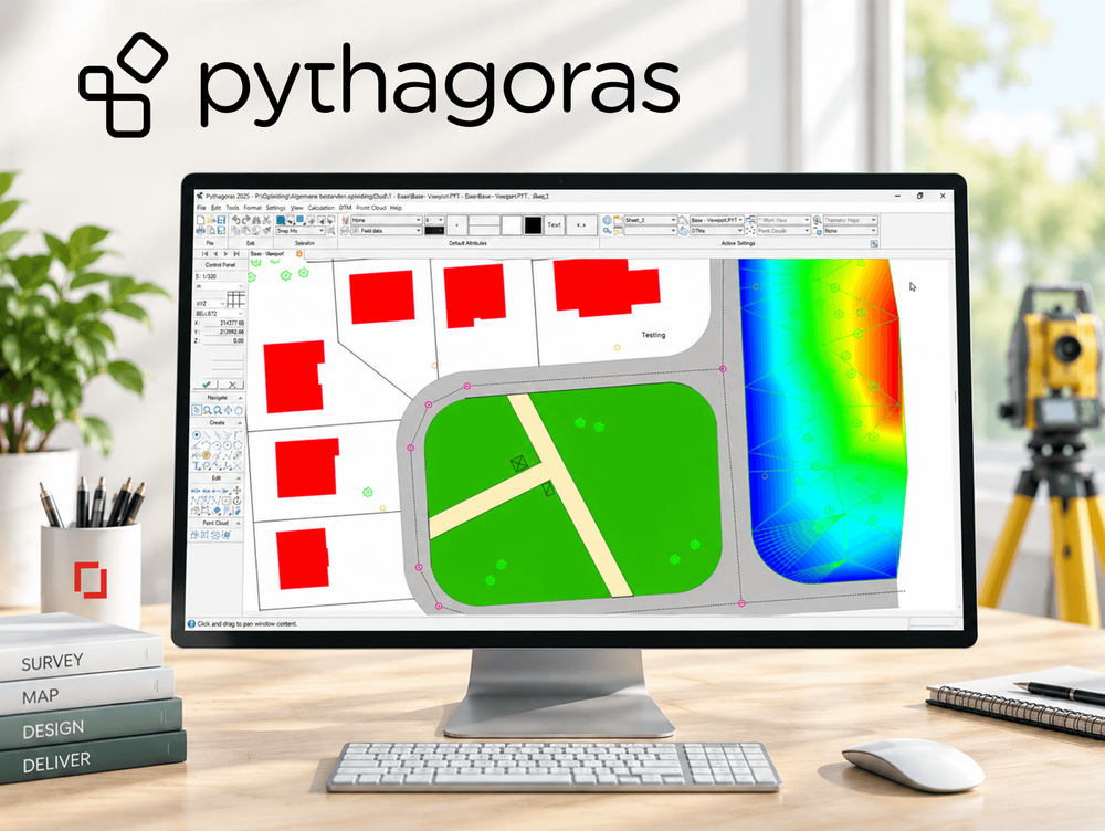
Surveying has changed significantly over the years.
Total stations and GNSS transformed field measurements. 3D laser scanning made it possible to capture millions of points. And more recently, SLAM technology has made capturing entire buildings faster and more accessible than ever. But faster data capture also created a new challenge: processing all that data efficiently.
That is where Pointorama comes in.
Built by the same team and backed by the same industry knowledge, Pointorama brings Pythagoras' experience into a modern, browser-based environment for working with point clouds.
From detecting building structures to creating complete floor plans and exporting usable CAD and BIM data, Pointorama focuses on shortening the path between scan and deliverable.
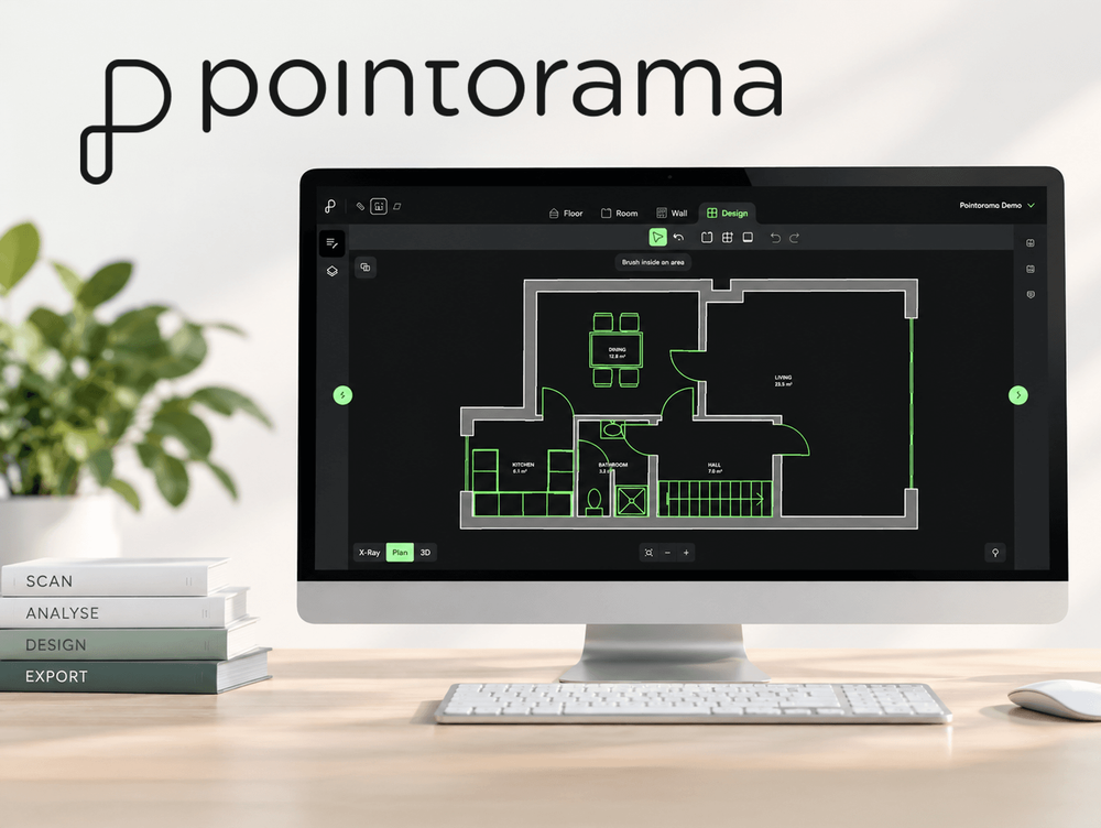
Pointorama continues to evolve quickly, but the knowledge behind it has been built over decades. Our team combines experience in surveying, CAD, point clouds and software development with new technologies such as cloud computing and AI.
That combination matters.
Because automating a workflow isn't simply about adding AI. It's about understanding what can be automated, where precision matters and where professionals need to remain in control. Automation where it matters. Control where it counts.
At Pythagoras, our core values shape everything we do:
We believe in building lasting relationships with our employees, partners, customers, and suppliers. By focusing on mutual growth and long-term success, we create a foundation for sustainable progress and stability.
Our solutions are designed to work seamlessly with leading industry hardware and software. This gives our clients the flexibility to choose the tools that best fit their needs while maintaining full control over their workflow.
Accuracy matters in everything we do. We are committed to delivering meticulous, high-quality results, ensuring that every project meets the highest standards and expectations. By paying attention to every detail, we help our clients achieve reliable and consistent outcomes.
We make complex tasks easy. Our intuitive solutions are designed to remove barriers and improve accessibility, helping users work smarter and more efficiently. By focusing on user-friendly design, we create tools that simplify even the most advanced processes.
From hours to minutes: Smarter 3D property mapping Discover how a real estate team reduced their floorplan workflow from over 3 hours to under 40 minutes using handheld 3D scanning and point cloud processing - without sacrificing accuracy. A case study from our presentation at GEO Business 2025.
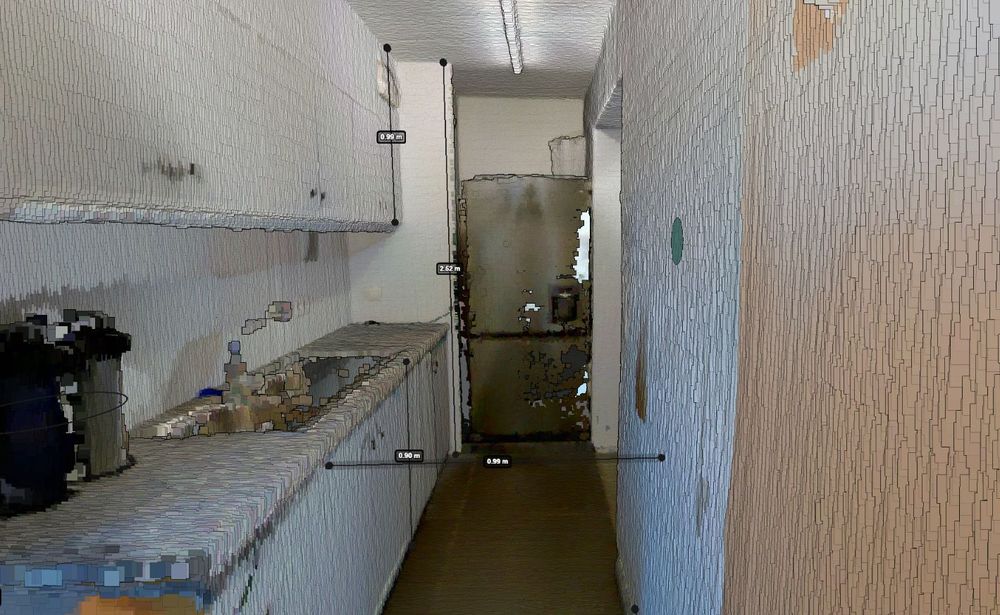
Quick, reliable, and truly intelligent. With built-in surface recognition, you can now measure walls, ceilings and floors directly within your digital floorplan - no extra tools, no second-guessing. Whether you're in surveying, real estate, or architecture, this is accuracy made effortless.
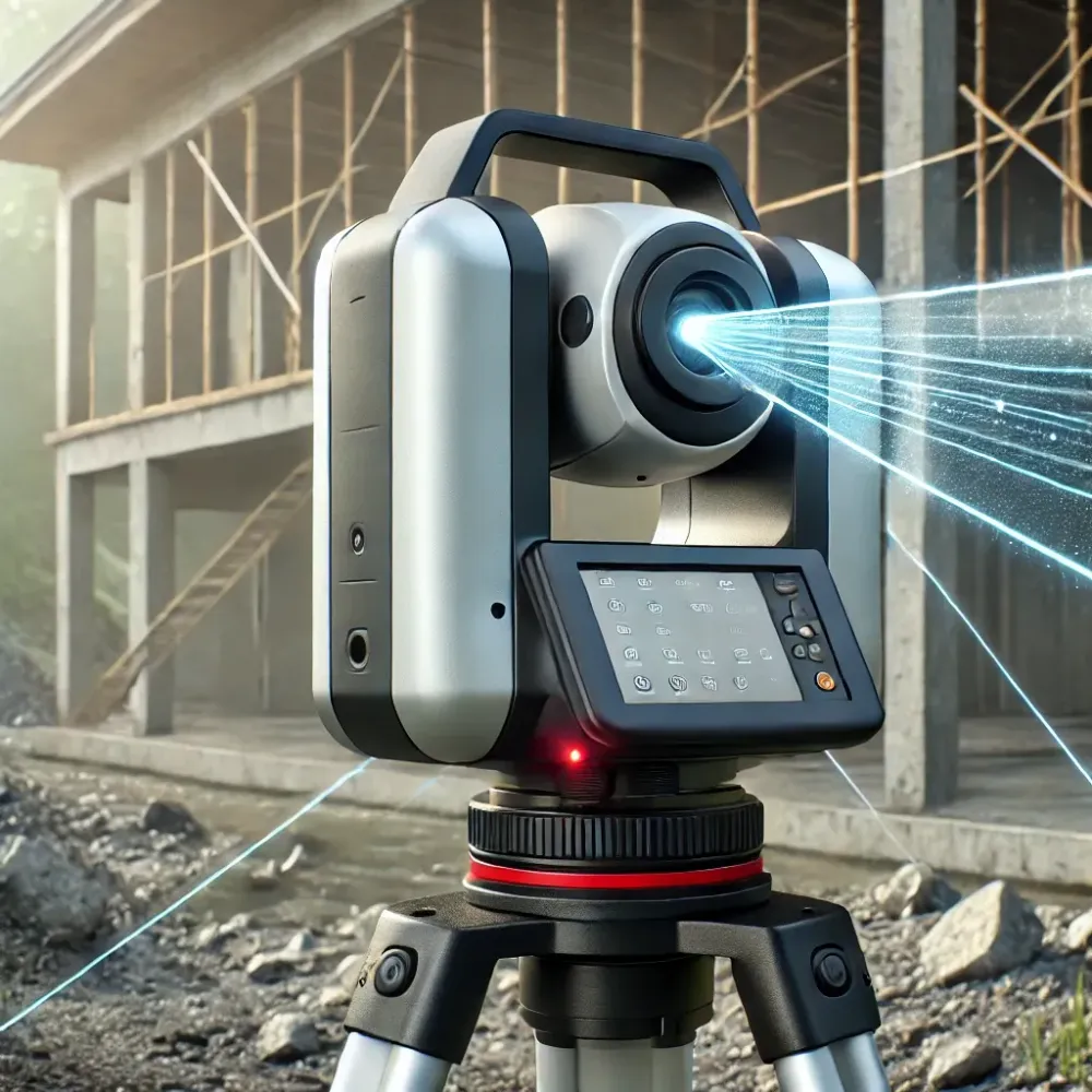
3D laser scanning revolutionizes surveying with speed and precision, but managing point clouds can be a challenge. Discover how Pointorama streamlines processing for maximum efficiency! 🚀 Read more!
Pointorama builds on everything Pythagoras has learned from decades of developing software for geospatial professionals — and applies that experience to the next generation of reality capture workflows.