Accurate and reliable
Pointorama delivers precise results based on real-world data. Whether you’re producing floor plans or terrain models, your outputs meet professional standards - ready for reports, presentations or client delivery, every time.
Looking for surveying software that turns field data into reliable floor plans or terrain models? Pointorama lets you process point clouds into clear, accurate layouts in minutes - ideal for land surveyors who value precision and speed. Whether it’s an indoor scan or an outdoor terrain, your output is precise, professional and just a few clicks away.

Surveying workflows are often slow, fragmented and overly technical. From manually cleaning point clouds to juggling different software tools, valuable time gets lost in processing and rework. Pointorama changes that. With Pointorama, go from scan to deliverable in under 30 minutes - no extra software needed, no steep learning curve.

| Feature | The old way | RecommendedWith Pointorama |
|---|---|---|
| Processing time | 4–6 hours average processing time per project | Full deliverable in < 30 minutes, versus 4–6 hours traditionally. |
| Tooling | Multiple software tools and manual steps | All-in-one intuitive platform |
| Learning curve | High learning curve for junior staff | No CAD background required |
| Output | Frequent post-corrections needed | Accurate, ready-to-use output - right from the start |
Pointorama delivers precise results based on real-world data. Whether you’re producing floor plans or terrain models, your outputs meet professional standards - ready for reports, presentations or client delivery, every time.
From buildings to terrains, Pointorama handles both environments with ease. Upload your point cloud - and get a result tailored to your project type.
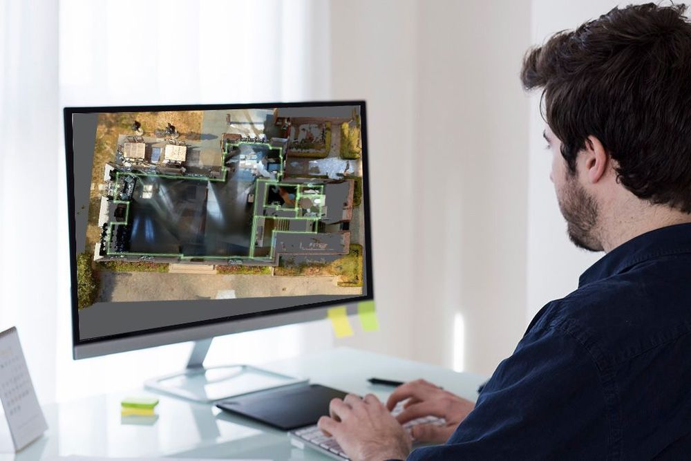
Switch between 2D layouts and interactive 3D visuals to better understand your data. Add annotations, zoom in on details or walk clients through the scan - all within the same intuitive platform.
Pointorama’s export features integrate seamlessly with CAD tools like Pythagoras CAD, providing a smooth transition from field data to precise floor plans and 3D models for further refinement.
Whether you’re scanning buildings or mapping terrain, Pointorama turns complex data into clear, accurate deliverables - fast. Join the surveyors who’ve already streamlined their process and simplified their toolkit.