Blog & News
Insights on indoor mapping, surveying workflows, and point cloud technology - written for the professionals who put scans to work.
45 articles
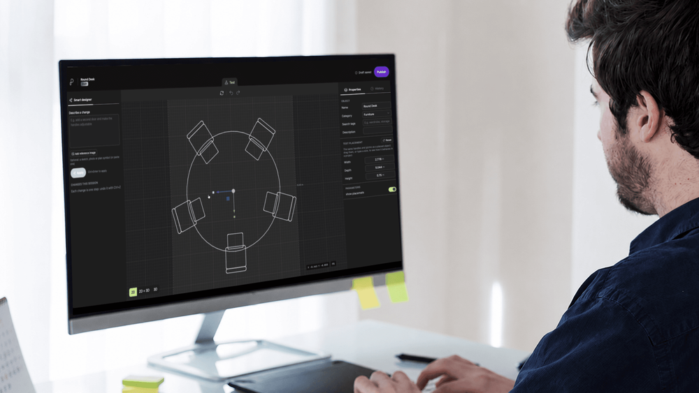
One request. One new feature.
One question at INTERGEO sparked a new Pointorama feature. Discover how customer feedback inspired an AI-powered tool to create custom furniture for floor plans, now in testing.
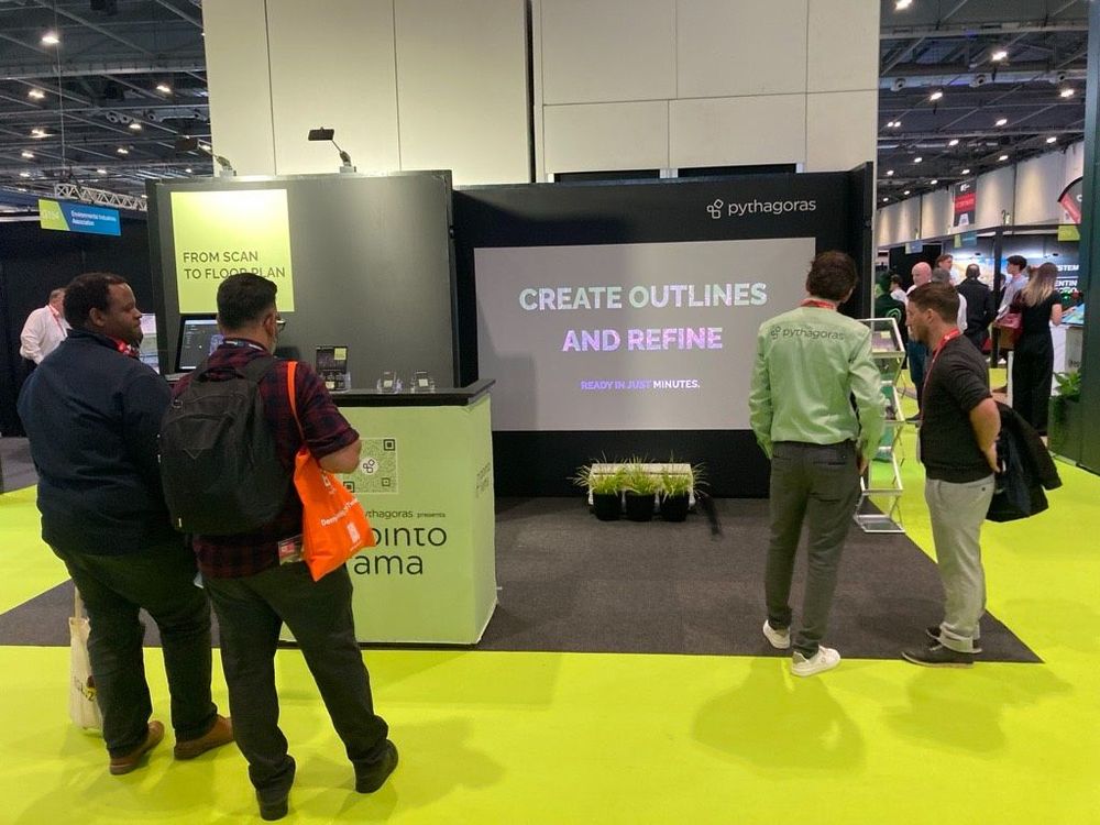
Discover at Trefdag how to get from measurement data to deliveries faster
Meet Pythagoras at Trefdag Digitaal Vlaanderen on 22 October, stand 45. Discover how Pythagoras CAD and Pointorama help geospatial professionals work faster, automate repetitive tasks and turn measurement data into usable results.

Scanning is getting faster. Now the workflow needs to catch up.
SLAM scanning is faster and more accessible than ever, but what happens after the scan? At INTERGEO 2026, one challenge came up again and again: the bottleneck is shifting from capturing data to processing it. We look at why the next efficiency gain in reality capture lies in the journey from scan to deliverable.

4 Questions we get asked most about scan-to-floorplan
When we demonstrate Pointorama’s Scan-to-Floorplan technology, people quickly see how a point cloud can be transformed into an accurate floor plan. But once they start thinking about using it in their own projects, the same practical questions often come up.
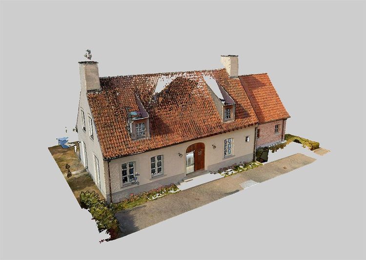
Think you know Pointorama? Think again
If you visited Pointorama at a trade show last year, there's a good chance you remember us as an innovative platform for viewing and processing indoor point clouds. That description is no longer sufficient.
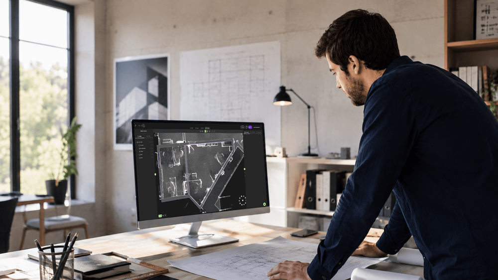
INTERGEO 2026: Meet Pointorama in Munich
Meet Pointorama at INTERGEO 2026 in Munich. Discover our latest Scan-to-Floorplan innovations, see live demos and claim your free visitor voucher.
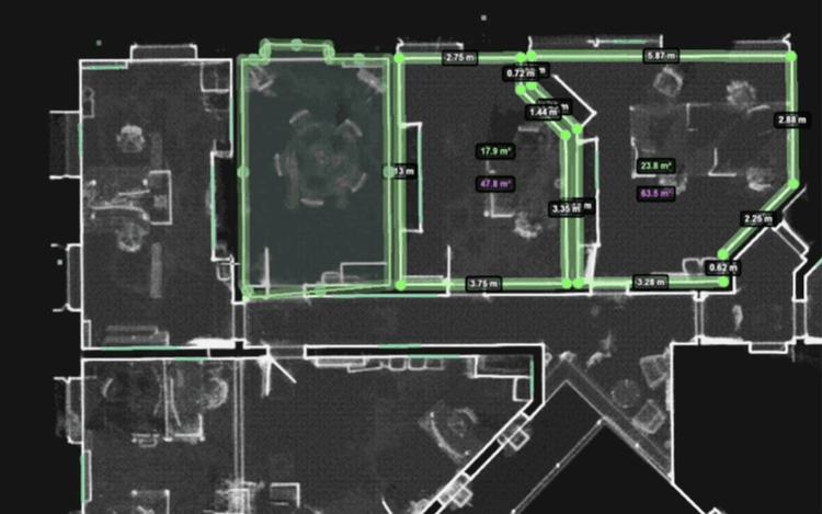
GEO Business 2026 recap: Why our latest Pointorama release turned heads
At GEO Business 2026, Pointorama showcased its latest release, demonstrating how professionals can transform point clouds into accurate floor plans, measurements and deliverables within a single platform. Discover the new features, the industry's biggest challenges, and how AI-powered automation is helping teams work faster and more efficiently.
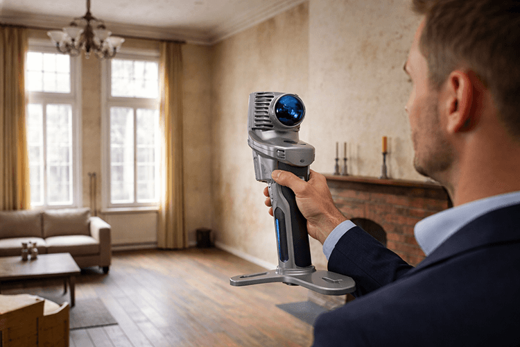
Stronger together: how partnerships drive innovation at Pointorama
Partnerships are the driving force behind innovation at Pointorama. By connecting hardware, software and expertise, we transform raw scan data into structured, usable results through seamless workflows.
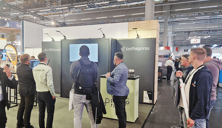
Pointorama on tour: meet us at key events in 2026
Meet Pointorama at key events in 2026. Discover new features, explore innovations and connect with our team across Europe.In 2026, Pointorama will be present at leading geospatial events across Europe, including GeoBusiness, Intergeo and Trefdag Digitaal Vlaanderen. Discover our latest innovations, explore new workflows and experience how much our technology has evolved when you meet us in person.
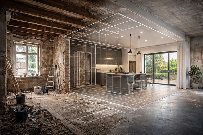
Indoor mapping and its role in modern surveying and construction
Indoor mapping has become a foundational technology for surveying and construction workflows involving existing buildings. By capturing interior environments as scan-based geometry, indoor mapping provides a reliable spatial reference that can be reused across applications such as floor plan generation, renovation and retrofit projects, scan-to-BIM workflows, real estate documentation and facility management.
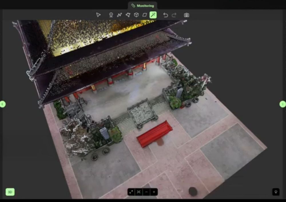
Partnering with OmniSLAM to deliver project-ready mobile SLAM data
Pythagoras and OmniSLAM collaborate to convert mobile SLAM scans into reliable, project-ready CAD and BIM deliverables using an open platform approach.
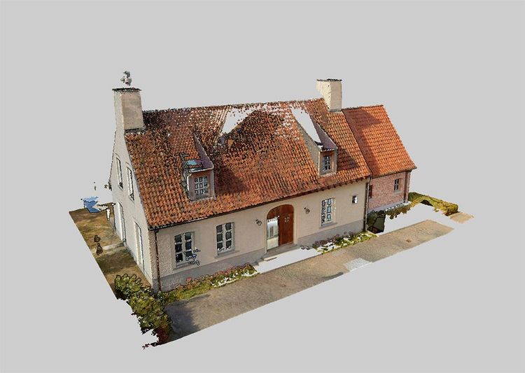
A practical guide to point clouds and point cloud processing
Point clouds are the foundation of modern surveying and indoor mapping. This article explains how point clouds are created, processed and validated to achieve accurate, survey-grade results, and why proper processing is essential for reliable measurements, floor plans and professional applications.
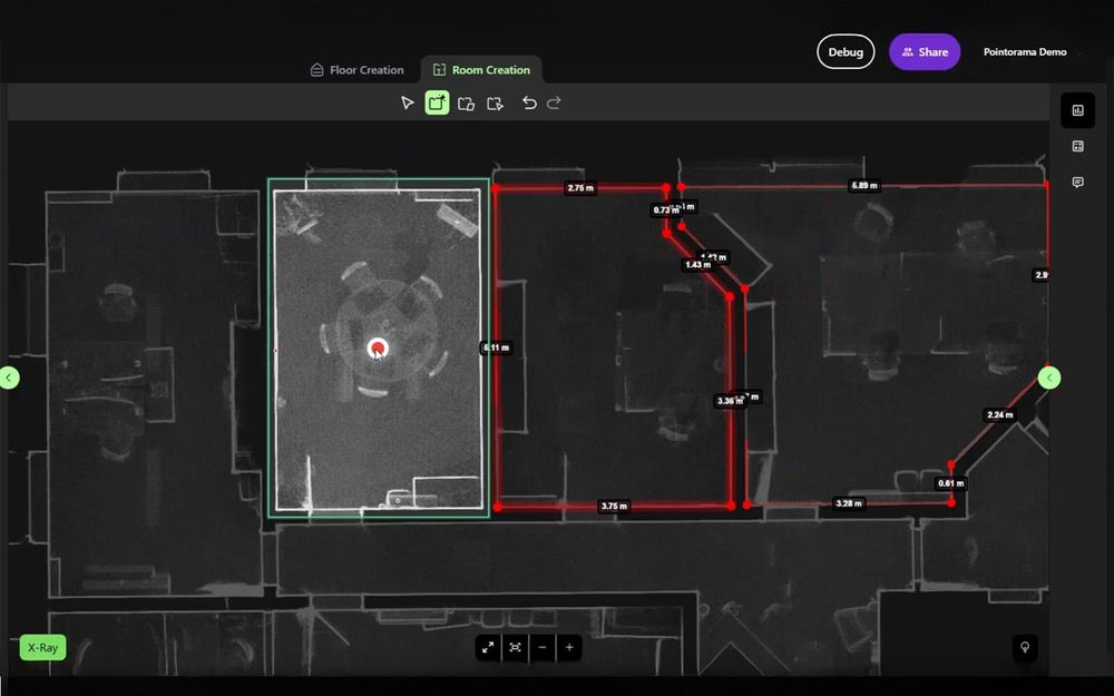
Unlock a new workflow: AI that understands spaces and delivers instant floorplans
Discover Pointorama's AI floorplan generator - a new workflow that turns spatial data into precise floorplans in seconds. No manual tracing, no hardware limits, and full user control.
Smarter floor plan creation with 3D tools and intelligent measurements
Pointorama combines 3D floor plan creation with smart, built-in measurements - offering surveyors and construction professionals a faster, more accurate way to turn scans into actionable floorplans, even in complex spaces.
Innovations at Intergeo '25 – Discover the next features of Pythagoras CAD & Pointorama
Bezoek ons op Intergeo 2025 in Frankfurt en ontdek de nieuwste features van Pythagoras & Pointorama. Vraag je gratis ticket of boek een demo!
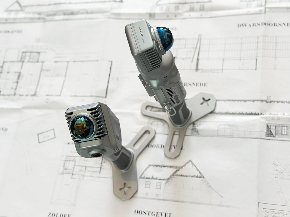
The fastest way to create accurate floor plans
Our community is growing, and therefore an introduction is in order. Pointorama turns scans into accurate 2D and 3D floor plans within minutes. With centimeter-level precision and seamless export to CAD and BIM, professionals can work faster, smarter and without the hassle of manual cleanup.
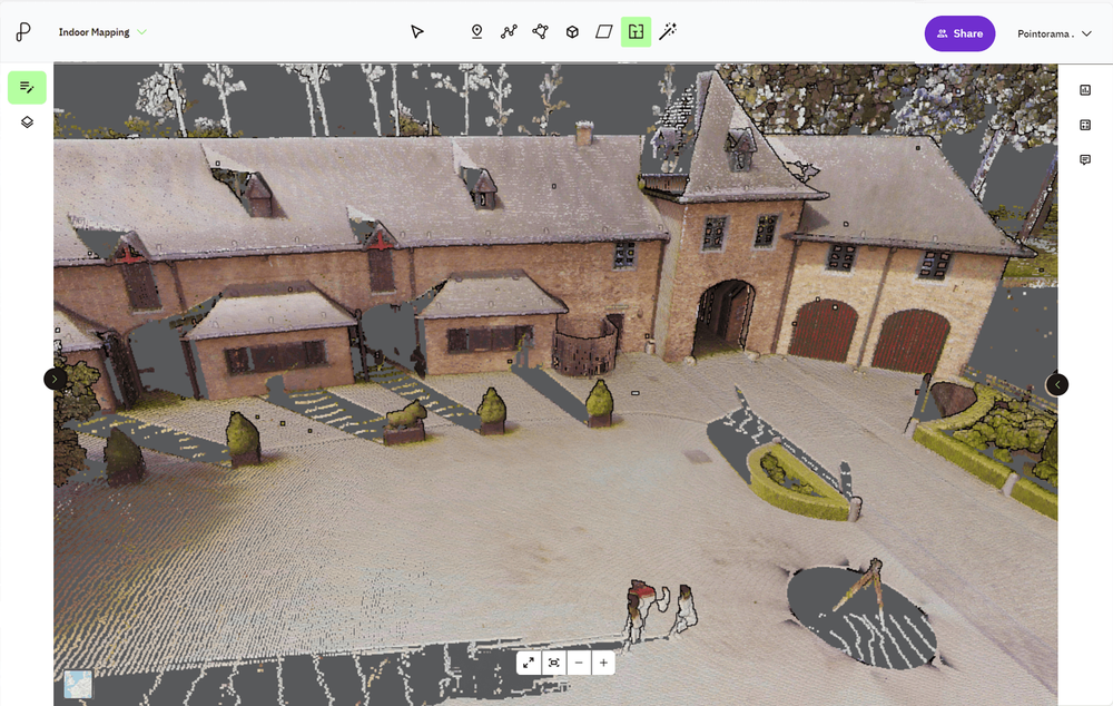
Point cloud registration: what it is and why it matters
At GEO Business we talked a lot about smarter workflows, but it all starts with accurate data. And when working with multiple scans, that means registration. In short: point cloud registration aligns different scans into one coherent 3D dataset - so you can model, measure, and monitor with confidence.
Scanning for success: A case study in 3D property mapping
From hours to minutes: Smarter 3D property mapping Discover how a real estate team reduced their floorplan workflow from over 3 hours to under 40 minutes using handheld 3D scanning and point cloud processing - without sacrificing accuracy. A case study from our presentation at GEO Business 2025.
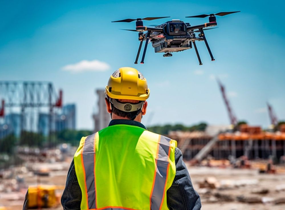
Photogrammetry vs. LiDAR for aerial surveying: a comprehensive comparison
Photogrammetry and LiDAR are two leading technologies in aerial surveying - each with distinct advantages. This article breaks down how they work, where they shine, and which one best fits your project's goals, environment, and budget.
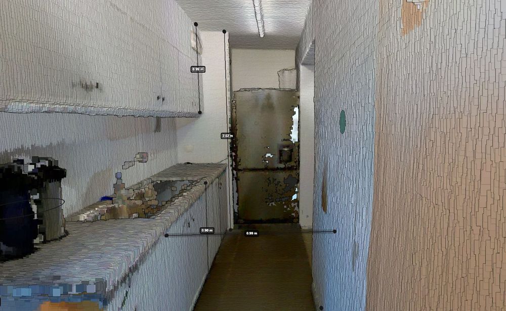
Accurate indoor measurements made easy with Pointorama
Quick, reliable, and truly intelligent. With built-in surface recognition, you can now measure walls, ceilings and floors directly within your digital floorplan - no extra tools, no second-guessing. Whether you're in surveying, real estate, or architecture, this is accuracy made effortless.
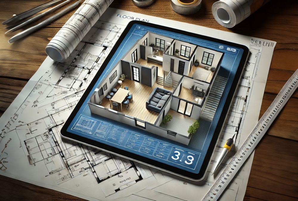
Transforming real estate with 3D scanning
3D scanning is revolutionizing real estate by providing fast, accurate property measurements and detailed floor plans. With SLAM technology, professionals can quickly map properties and eliminate outdated blueprints. Tools like Pointorama turn raw scans into actionable insights, improving efficiency and decision-making.
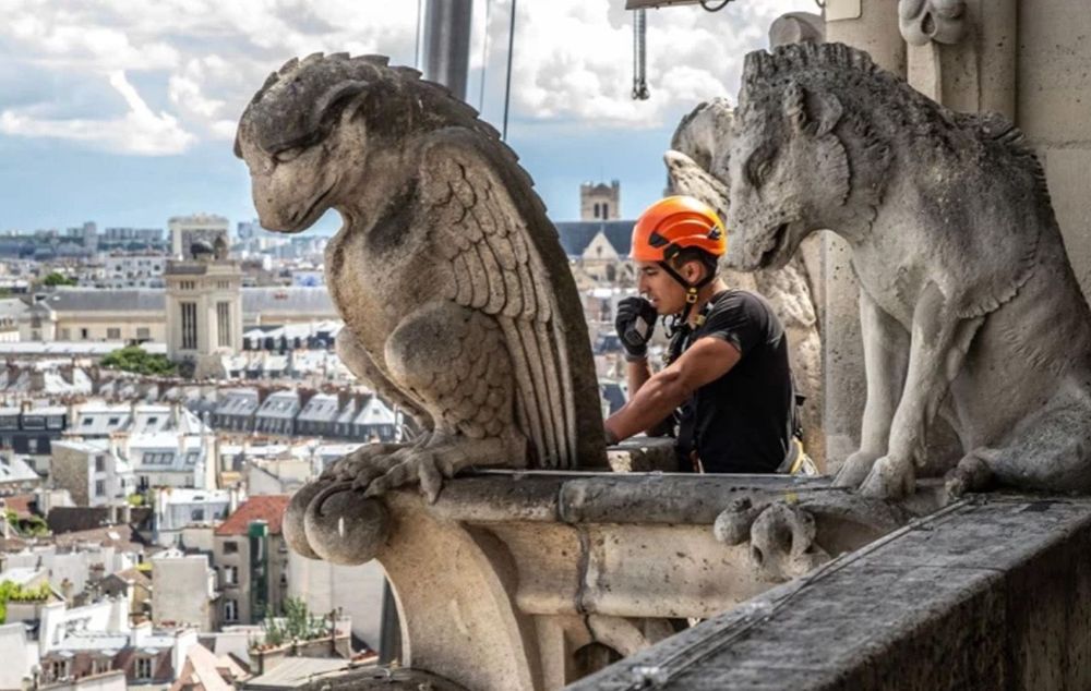
How 3D scanning helped restore Notre Dame after the great fire
Thanks to pre-existing 3D scans, Notre Dame's restoration after the 2019 fire was remarkably precise. LiDAR technology provided a detailed digital blueprint, preserving architectural integrity and accelerating reconstruction. This case highlights the vital role of 3D scanning in safeguarding cultural heritage.
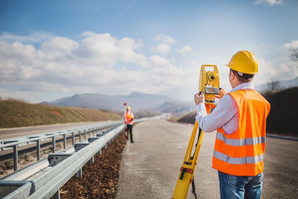
Choosing between static and kinematic scanning: finding the right fit
Looking for precision or speed? Static scanning captures ultra-detailed data from fixed points, perfect for architecture and engineering. Kinematic scanning maps large areas quickly, ideal for roads and urban planning. Each has its strengths - discover which one suits your project best!
Exploring surveying efficiency with 3D laser scanning
3D laser scanning revolutionizes surveying with speed and precision, but managing point clouds can be a challenge. Discover how Pointorama streamlines processing for maximum efficiency! 🚀 Read more!
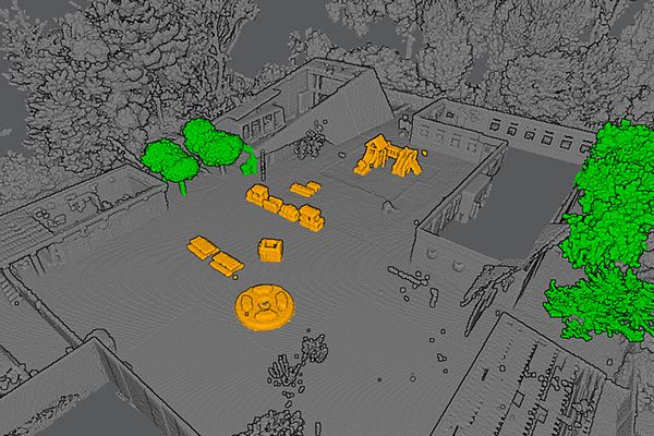
Pointorama's Magic Wand: The smarter way to edit point clouds
Pointorama's Magic Wand simplifies point cloud editing with AI-driven clustering and an intuitive interface. Save time, enhance precision, and streamline workflows - perfect for professionals and beginners alike.

The power of SLAM scanners for surveying: a comprehensive guide
SLAM (Simultaneous Localization and Mapping) is revolutionizing 3D mapping for surveyors, enabling fast and accurate results in GPS-deprived environments. This guide covers SLAM fundamentals, workflow optimization, and its advantages over traditional Terrestrial Laser Scanning (TLS). Discover how SLAM technology enhances efficiency, versatility, and accuracy in modern surveying.
Transforming facade documentation with 3D scanning technology
Simplify facade documentation with 3D scanning technology. Our solution allows architects and surveyors to select features directly from scans, reducing errors and saving time. Achieve precise, reliable results for both facades and cross-sections - faster and easier than ever.
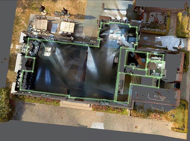
Indoor mapping with Pointorama's 3D floor plan tool
Discover how Pointorama's 3D floor plan tool saves time, boosts accuracy, and eliminates manual tracing. Create precise, vectorized floor plans directly from point clouds - flat, sloped, or multi-level - with just a few clicks. Experience faster workflows and unmatched precision.
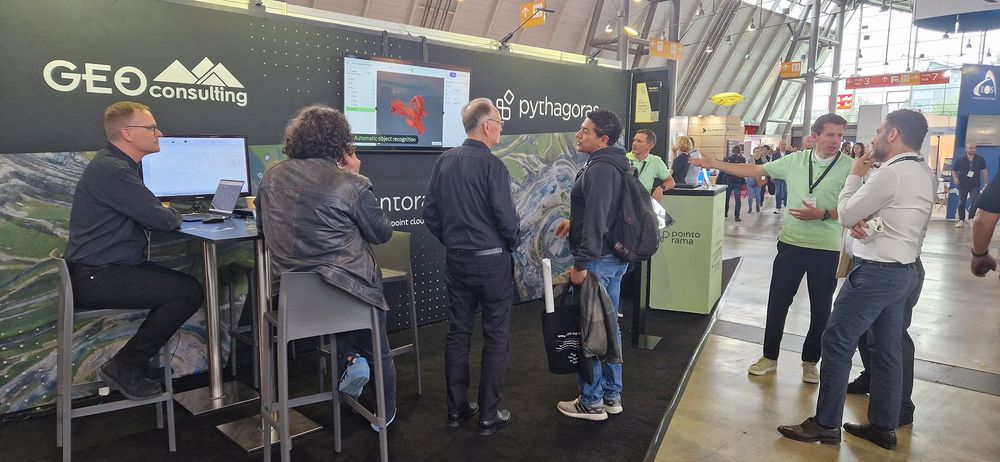
Where to find us in 2025: Key geospatial trade shows you can't miss
Join us at GEO Business and INTERGEO 2025 to explore the latest in point cloud processing with Pointorama and Pythagoras. Discover new features, seamless integration, and smarter workflows through live demos and expert workshops.
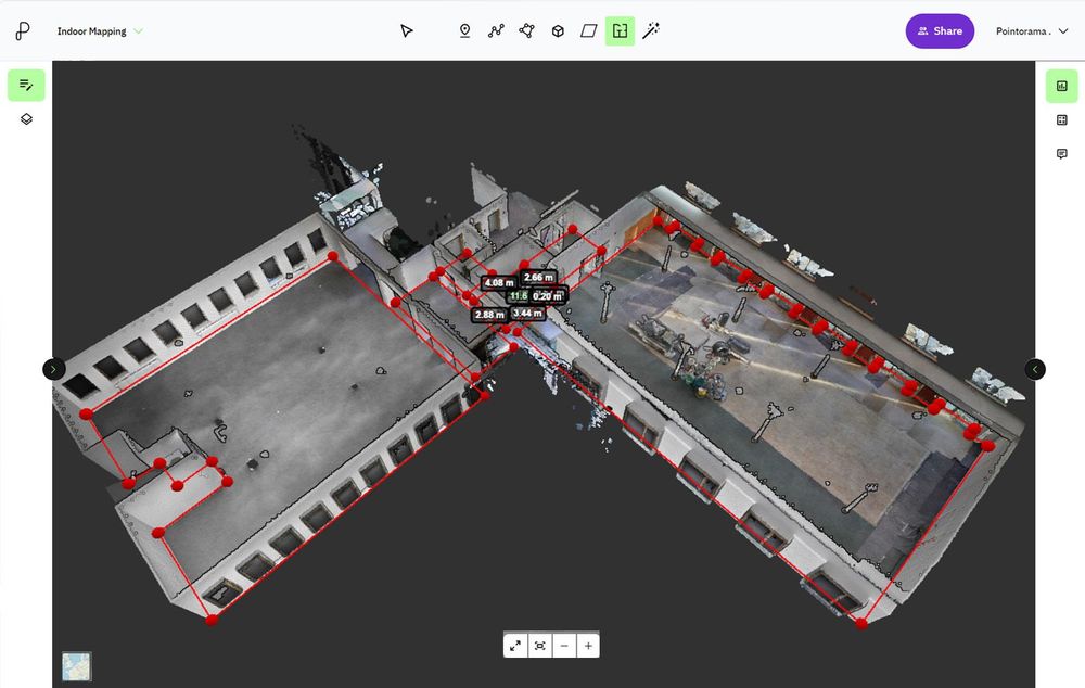
Revolutionizing indoor mapping of 3D scans
Pointorama transforms 3D scans into precise plans with advanced vectorization, saving time and reducing errors. Ideal for surveyors and architects, it delivers flawless results for both flat and sloped surfaces.
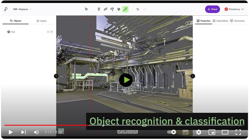
Streamline your MEP workflow: simplify, isolate & innovate
Discover how point cloud technology revolutionizes MEP systems by enhancing precision, streamlining design, and improving collaboration. Learn about the benefits and future of this game-changing tool in modern engineering.
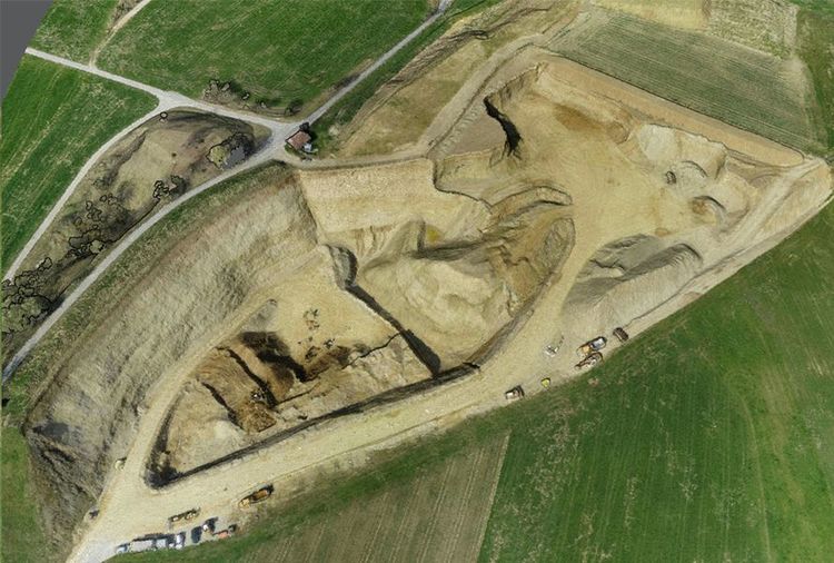
Understanding point clouds and its conversion methods
point clouds play a pivotal role in capturing and representing real-world environments with unparalleled accuracy. What exactly is a point cloud, and how can it be converted into usable formats for various applications?
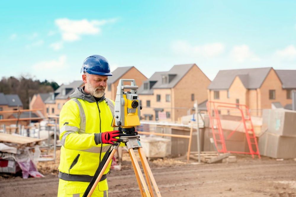
Elevate your point cloud workflow with Pointorama's classification tool
Streamline your surveying and construction workflow with Pointorama's classification tool. Enhance precision, improve organization, and boost collaboration with our powerful point cloud technology. Explore the benefits today!
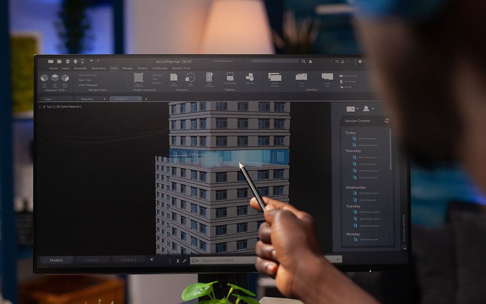
Navigating the future: 3 trends in point cloud technology and the role of AI
What are the three key trends of point clouds? And how does Artificial intelligence (AI) plays a pivotal role in their advancement?
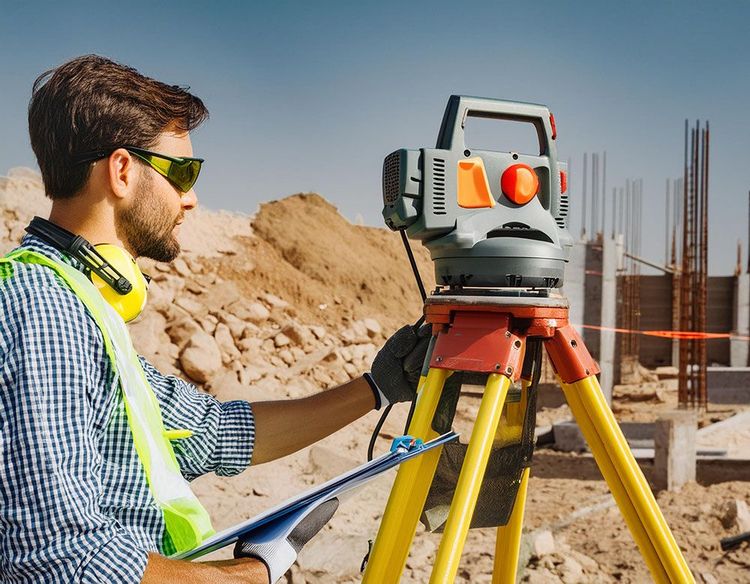
Navigating the future of surveying
Explore how Pointorama is revolutionizing surveying alongside other innovations. Discover the evolving role of surveyors, advancements in scanning tech, and the attractive career prospects in this field.
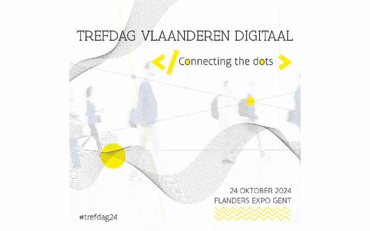
Join Pointorama at 'Trefdag Digitaal Vlaanderen' 2024
On October 24, 2024, Pointorama will be a participant in 'Trefdag Digitaal Vlaanderen', an essential event for anyone in Flanders interested in digital transformation. We will proudly present the future of point cloud management.
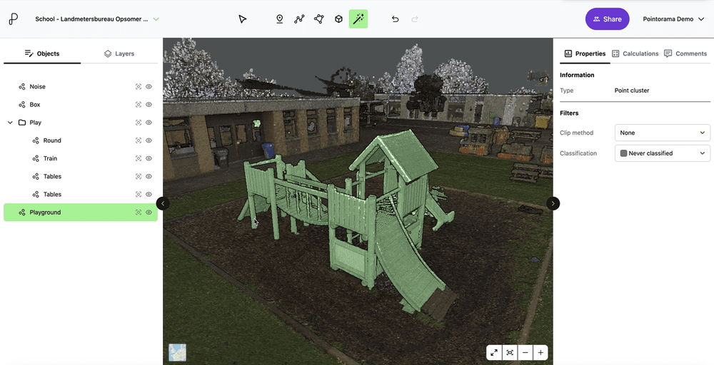
Release of new feature 'Object detection'
Today, we're excited to shine a spotlight on one of its powerful features: 'Point Clustering' or 'Object detection'. Point Clustering, a new feature of Pointorama, simplifies the intricate process of data organization in just a few clicks

From clutter to clarity: How Pointorama simplifies point cloud management
Discover Pointorama: the ultimate solution for surveyors. Simplify point cloud processing, reduce manual clean-up, and enhance collaboration with our innovative, cloud-based platform.
Get Ready for INTERGEO 2024 in Stuttgart with us!
We're gearing up for an exciting event this September – INTERGEO 2024 in Stuttgart! As an exhibitor, we're eager to connect with industry peers and geoinformation enthusiasts.
Join us at GEO Business 2024: Unlocking geospatial innovation with Pointorama
We're thrilled to announce that we are participating in this year's GEO Business, taking place from 4th to 5th June at ExCeL London. During this great event, we are launching our new Point Cloud Platform, Pointorama, a cutting-edge technology in the world of Point Clouds.
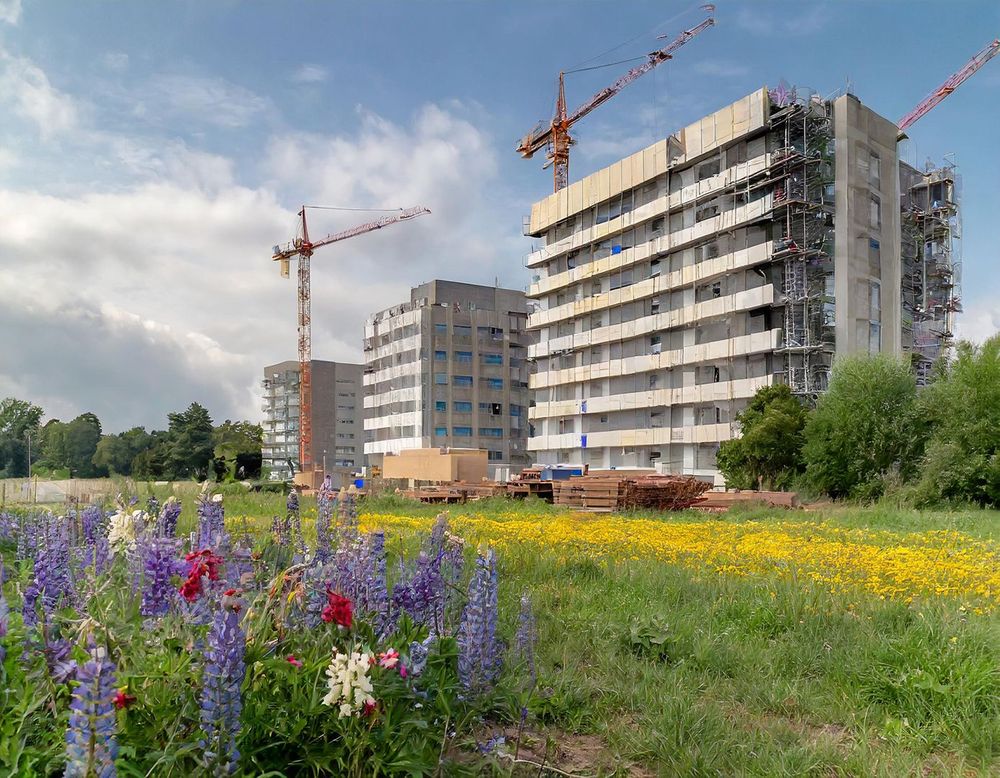
5 Sustainable benefits of using a point cloud platform
Explore the sustainable benefits of point cloud platforms in construction, surveying, and infrastructure. Discover how these technologies enhance efficiency, minimize environmental impact, and foster collaboration for a greener future in our latest blog post.
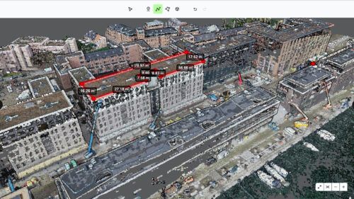
Revolutionizing surveying & mapping with point cloud software
Innovative point cloud software is reshaping traditional practices and unlocking an abundance of benefits for professionals worldwide. Let's explore how this innovative software is revolutionizing the industry.

Choosing the right point cloud format
In this blog post, we'll delve into the world of point cloud formats, offering some insights into each. We'll also provide personalized advice on which format might suit you best.

How to capture a point cloud
Point clouds have emerged as a crucial tool in various industries, revolutionizing the way we perceive and analyze spaces. In this article, we'll look into the process of creating point clouds to explore three main acquisition methods.
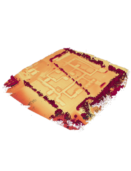
LiDAR: How the use of laser pulses can lead to accurate landscape analysis
When I ask you to think about laser pulse technology, you'll probably envision some big satellite or space station. But what if I tell you that nowadays, you can even find a laser scanner in your Iphone! In this article we'll tell you all about LiDAR, and why you probably should be using it.