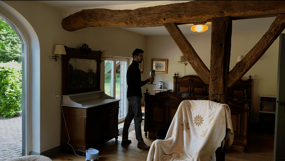
Step 01
Scan & upload
Start with the scan you already have
Pointorama fits into your existing scanning workflow. Upload your point cloud directly to the browser and start working with your data. No additional preparation needed.
When you’re missing plans or dimensions, a 3D scan gives you the data. Pointorama turns that data into results. Upload your point cloud, select a space, and generate an accurate floor plan in just a few clicks. Then take it one step further. Complete your floor plan by adding stairs, furniture, cabinets and other details, turning measured geometry into a finished plan that’s ready to deliver to your client. No unnecessary steps. No complex post-processing. Just speed, precision and full control — from raw point cloud to a complete, ready-to-use floor plan.

Step 01
Start with the scan you already have
Pointorama fits into your existing scanning workflow. Upload your point cloud directly to the browser and start working with your data. No additional preparation needed.
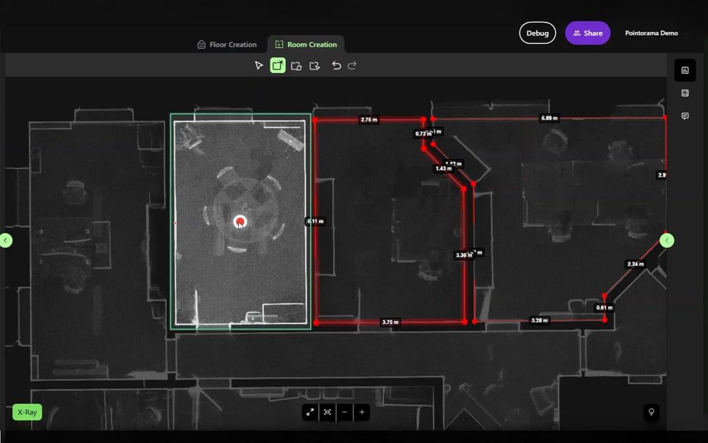
Step 02
Let Pointorama find the building
Pointorama analyses the point cloud and turns measured data into structured building geometry. Floors, rooms and walls are detected, providing a reliable starting point.
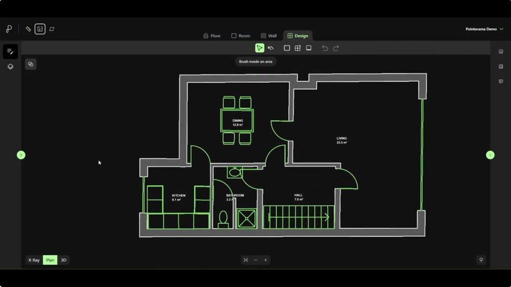
Step 03
Turn geometry into a complete floor plan
Go beyond walls and rooms. Add doors, windows, stairs and furniture to transform the detected geometry into a complete floor plan, ready to review, share or export.
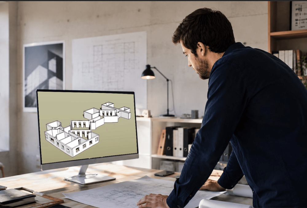
Step 04
Fits every workflow.
Pointorama doesn't lock your data into one ecosystem. Export your completed floor plan in open formats and continue working with the result in the tools you already use.
Pointorama is built for fast and accurate indoor mapping. When plans are missing or outdated, your scan data becomes the starting point. With a few clicks, raw point cloud data is transformed into structured, editable floor plans.
Designed for professionals in surveying, AEC and real estate, Pointorama combines automation with full control. It helps you deliver precise and reliable results in record time.
Pointorama also supports outdoor point cloud workflows. Measure volumes, analyze terrain evolution and interpret complex scan data in just a few clicks. Classification and cleanup tools help you remove noise and isolate the elements that matter, improving the quality of your analysis.
From construction sites to landscape monitoring, Pointorama helps you extract meaningful insights from point cloud data quickly and efficiently. It allows you to maintain full control over the final results.
Pointorama brings every essential tool together in one clear, accessible environment, built to make your workflow as smooth and efficient as possible.
Upload, manage and analyse your data without unnecessary complexity. Organise indoor scans and large outdoor datasets in one place.
From visualization to analysis and export, Pointorama is intuitive and easy to use, so you can get started quickly and work efficiently from day one.
Share projects with colleagues or clients in a few clicks. Review data together and stay aligned, with cloud access anytime, anywhere.
Start your free trial of Pointorama today and experience unparalleled efficiency and precision. Join the revolution and elevate your surveying projects to new heights!