Automatic level detection
Find relevant floor elevations directly within the point cloud.
Turn raw point clouds into structured building levels. Upload a raw scan and Pointorama automatically identifies floors and organises them into storeys — no manual setup or data preprocessing.
Full feature access — no credit card required
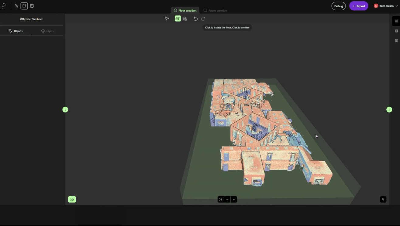
A raw point cloud is essentially one large collection of measured points. It doesn't know where one floor ends, where another begins or how the building should be organised.
Pointorama analyses the scan and identifies its different floor levels automatically. These become the storeys of your project, providing a clear structure for creating rooms, plans and sections.
Whether you're working with a single-storey property or a building with several levels, Pointorama separates the scan into logical building storeys.
Import your raw point cloud directly, without cleaning, splitting or preprocessing the data first.
Pointorama analyses the scan and automatically identifies the different floor levels throughout the building.
Detected levels become structured storeys, ready for room creation, floor plans and further analysis.
Find relevant floor elevations directly within the point cloud.
Turn a complete building scan into clearly structured storeys.
Start with the point cloud you captured instead of preparing it in another application first.
The original points remain available while you work with the generated building structure.
Detected levels are not locked. Review and refine them to match the project.
Use the detected floor structure as the foundation for rooms, floor plans and sections.
Before extracting useful building information from a point cloud, you first need to understand its structure. With larger or multi-storey scans, manually defining and organising those levels adds unnecessary setup work.
Automatic floor detection takes care of that first step.
You start with an organised building instead of an unstructured scan, giving you a faster and clearer route into the actual floor plan workflow.
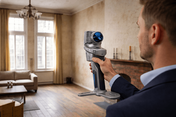

Learn to measure between surfaces using the line tool with two planes - one vertical, one horizontal - for precise 3D measurements across walls, floors, or complex geometries.
Learn how to export a clear 2D screenshot of your drawing, including measurements - perfect for presentations, client communication, or use in other software tools.
Learn how to create rooms in 2D X-ray view with Magic Room Tool. Quickly define shapes, refine details, and generate accurate room geometries for export.
Start a free trial and turn a raw point cloud into structured geometry today. No credit card required.