DXF export
Floor plans, surfaces and sections, ready for further detailing in CAD.
Continue your workflow without rebuilding geometry. Export floor plans, sections and building models as DXF and IFC — with the original coordinate system preserved throughout.
Full feature access — no credit card required
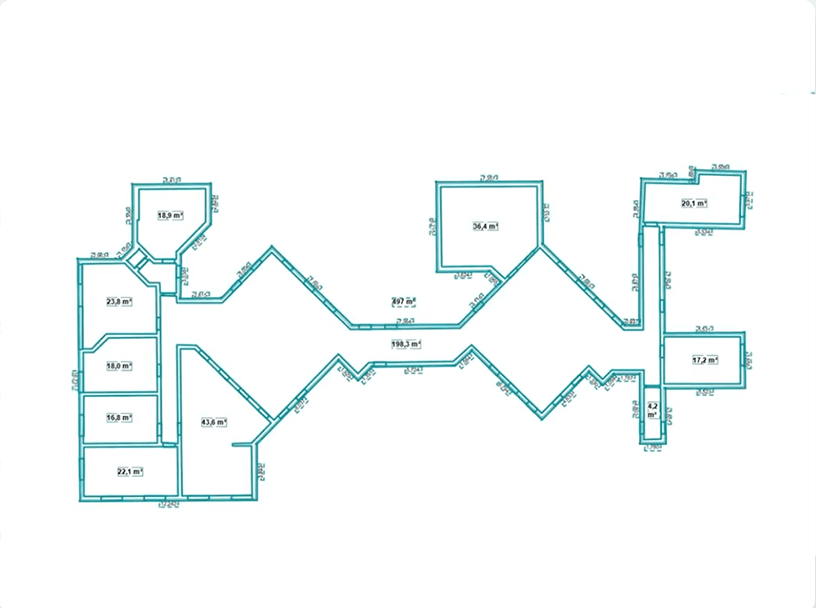
Pointorama bridges the gap between reality capture and design software. Floor plans and sections can be exported to DXF for further detailing, while complete building models are available in IFC for BIM coordination and design. All exported data is generated directly from the detected building structure — reliable, consistent building information that fits seamlessly into your existing workflow.
All exported data is generated directly from the detected building structure while preserving the original coordinate system. The result is reliable, consistent building information that fits seamlessly into your existing workflow.
Floor plans, surfaces and sections, ready for further detailing in CAD.
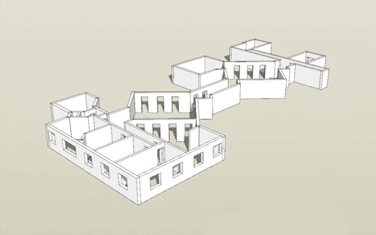
Complete building models for BIM coordination and design.
The original coordinate system is preserved in every export.
Compatible with AutoCAD, Revit and other BIM & CAD software.
Generate clear visual references from any 2D view.
Every export is generated from the original scan.
Exporting shouldn’t be the point where data is recreated or corrected. By preserving geometry and coordinate information throughout the workflow, Pointorama allows architects, surveyors and engineers to move directly from point cloud to design, documentation and project coordination with confidence.
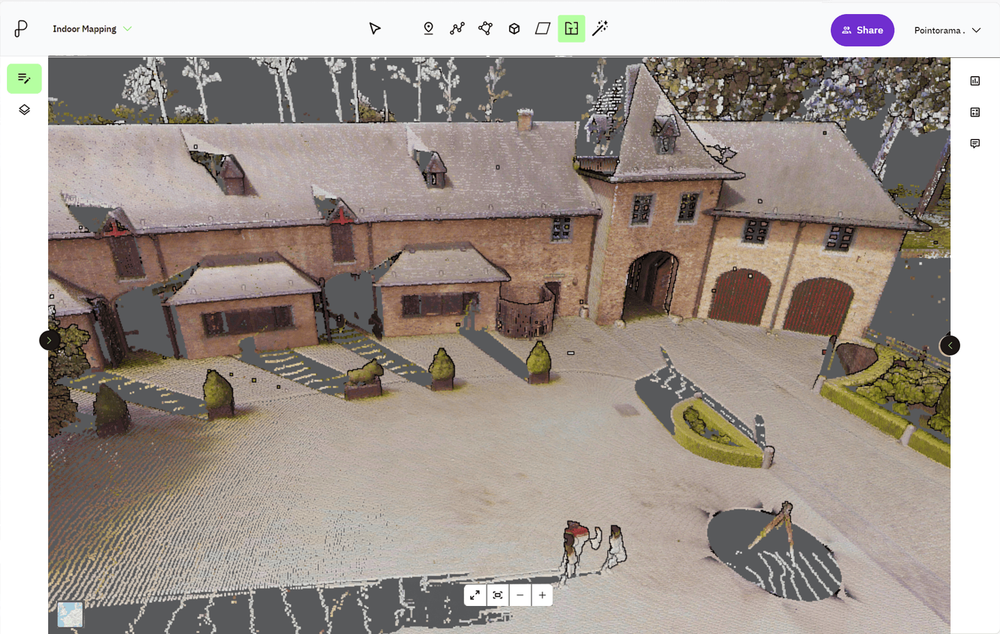
At GEO Business we talked a lot about smarter workflows, but it all starts with accurate data. And when working with multiple scans, that means registration. In short: point cloud registration aligns different scans into one coherent 3D dataset - so you can model, measure, and monitor with confidence.
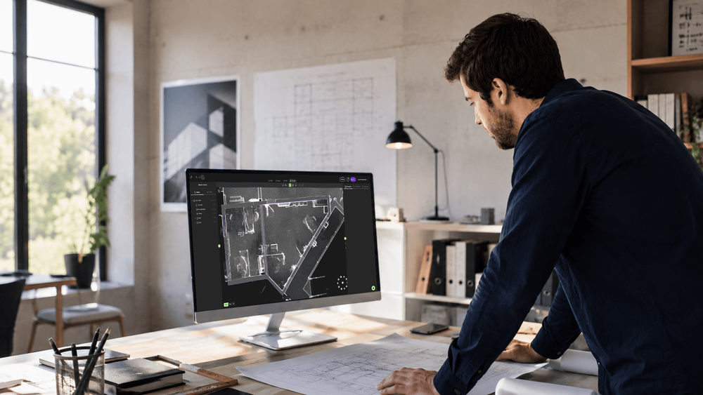
Meet Pointorama at INTERGEO 2026 in Munich. Discover our latest Scan-to-Floorplan innovations, see live demos and claim your free visitor voucher.
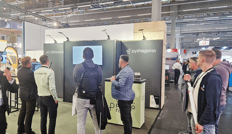
Meet Pointorama at key events in 2026. Discover new features, explore innovations and connect with our team across Europe.In 2026, Pointorama will be present at leading geospatial events across Europe, including GeoBusiness, Intergeo and Trefdag Digitaal Vlaanderen. Discover our latest innovations, explore new workflows and experience how much our technology has evolved when you meet us in person.
Start a free trial and export your first DXF or IFC today. No credit card required.