Distance, area & height measurements
Verify dimensions directly on the point cloud.
Measure, classify and understand every point. A complete set of analysis tools to explore, measure and organise point cloud data — directly in your browser.
Full feature access — no credit card required
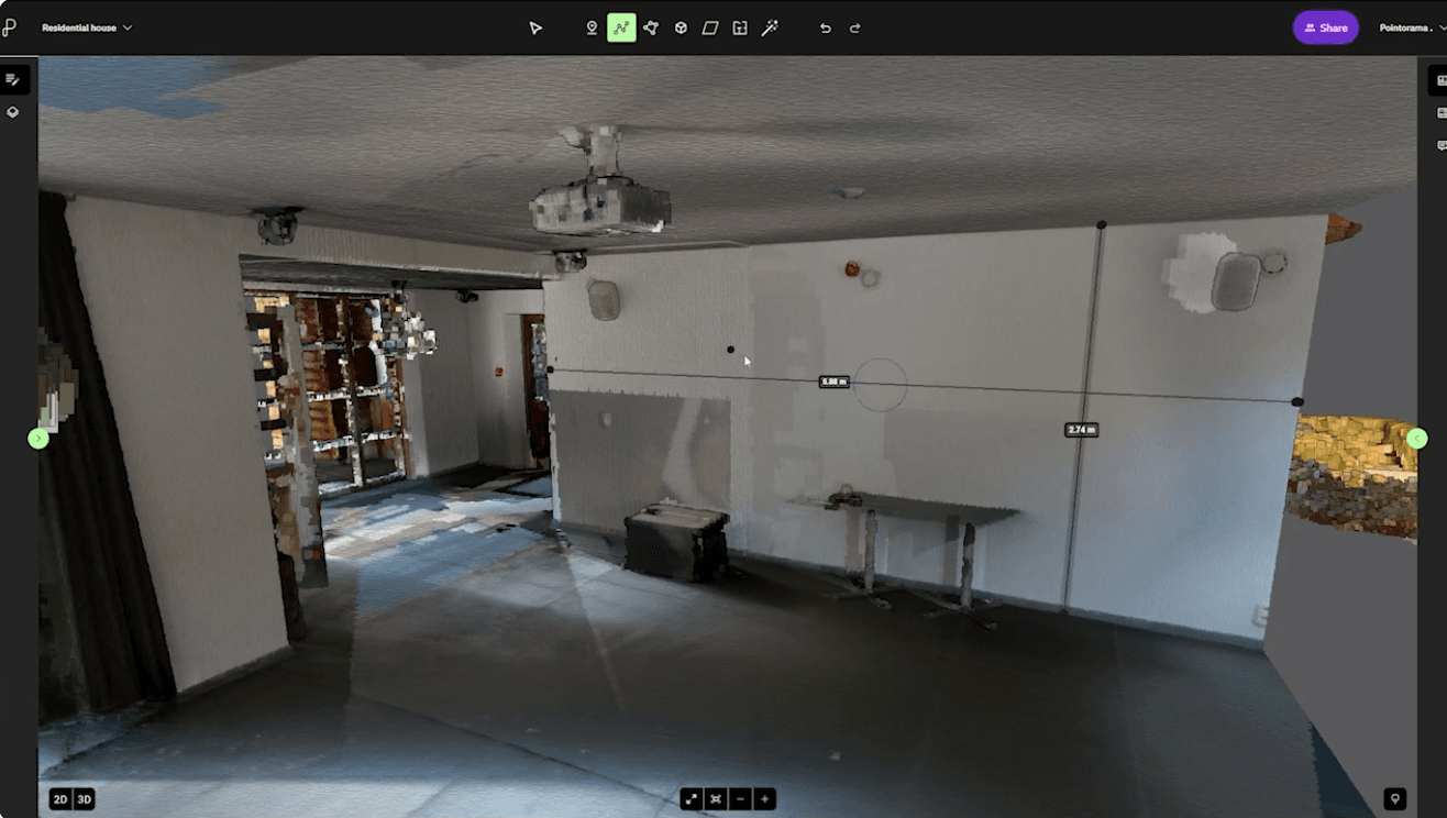
Measure distances, areas, heights and volumes directly on the point cloud. Whether you're inspecting buildings, monitoring construction sites or analysing terrain, Pointorama helps you extract reliable information from even the largest datasets.
Need additional context? Overlay CAD drawings or WMS/WMTS services to compare your scan with existing project data in a single workspace.
Verify dimensions directly on the point cloud.
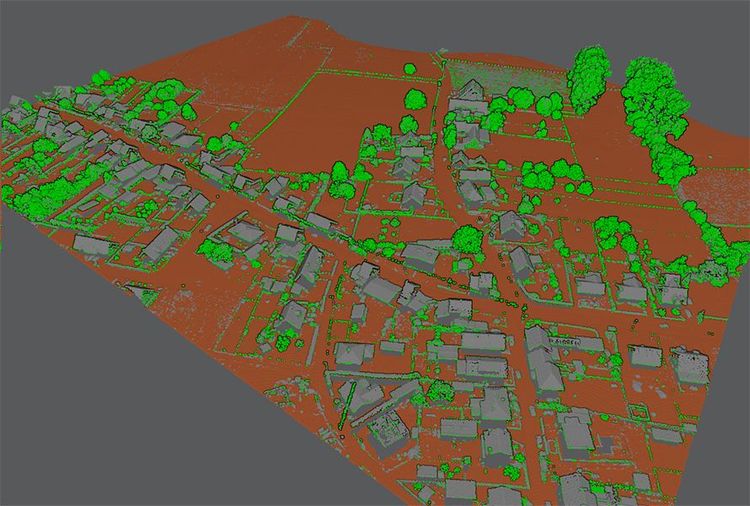
Extract volumes and elevations from terrain datasets.
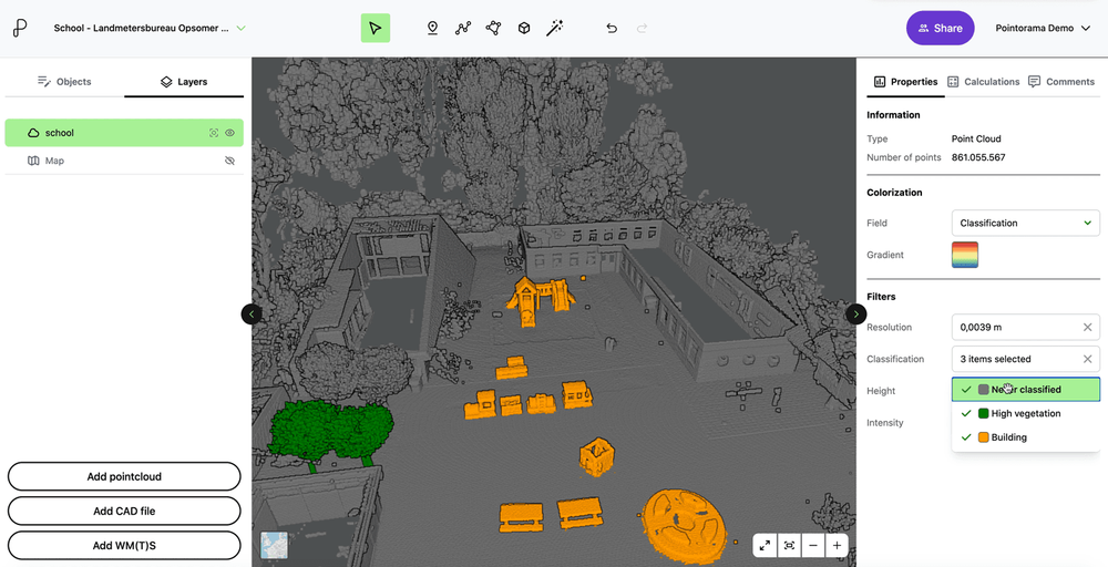
Organise points into structured classes with AI assistance.
Filter unwanted points and remove noise from your dataset.
Reveal structural insights from planar elements.
Overlay design and map data on the point cloud.
Point clouds contain far more information than geometry alone. Pointorama gives you the tools to analyse, organise and validate that data, helping you make better decisions without exporting your project to multiple applications.

Need clean surfaces to build or align your floor plan? In this video, we'll show you how to place planes on floors, walls, and any surface within your point cloud - using three different methods.
Learn how to automatically detect floors using Auto Floor mode. Quickly define your building area, generate accurate levels, and streamline your workflow.
Learn to measure between surfaces using the line tool with two planes - one vertical, one horizontal - for precise 3D measurements across walls, floors, or complex geometries.
Start a free trial and measure, classify and clean your first dataset. No credit card required.