Accurate indoor measurements made easy with Pointorama
Quick, reliable, and truly intelligent. With built-in surface recognition, you can now measure walls, ceilings and floors directly within your digital floorplan - no extra tools, no second-guessing. Whether you're in surveying, real estate, or architecture, this is accuracy made effortless.
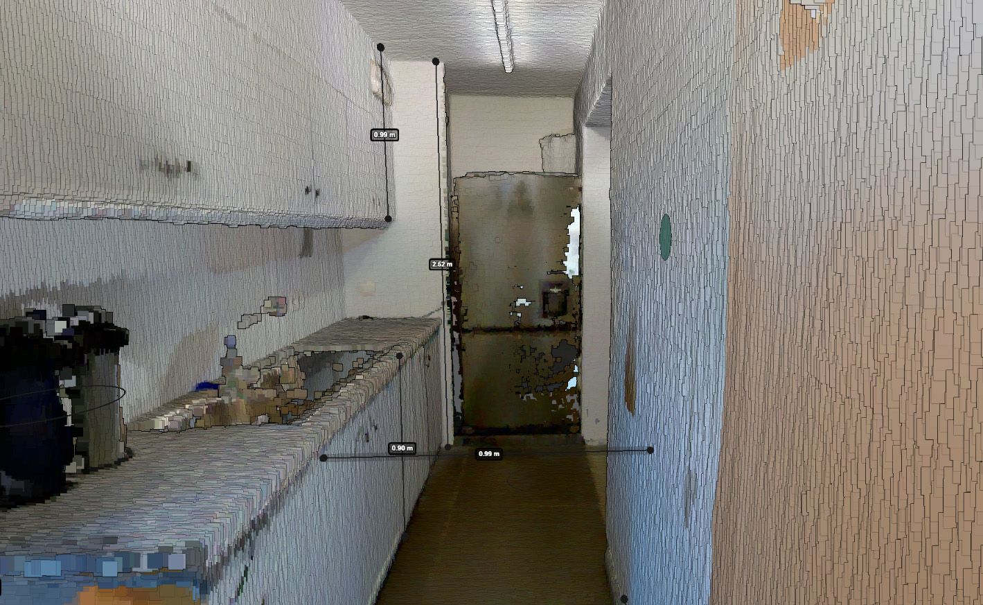
Measure what matters instantly
Forget manual calculations and disconnected tools — with our new measurement feature, you can select any two points in your floorplan and instantly calculate the distance between them.
These measurements are extracted directly from the point cloud that underpins your digital floorplan. That means what you see is based on real-world data — not assumptions or approximations.
- Door height and widthIdeal for accessibility planning, furnishing or compliance checks.
- Floor-to-ceiling distanceEssential for lighting design, HVAC setup or spatial calculations.
- Wall-to-wall spacingPerfect for layout decisions or verifying usable area.
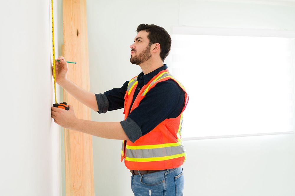
Smarter measurements with intelligent plane detection
What sets Pointorama apart is its unique way of handling measurements. Instead of relying on manual precision to locate the exact point in a complex point cloud, our system uses advanced wall, floor and ceiling detection to understand the geometry of your space. It automatically recognizes the plane your measurement belongs to — so you're not just clicking points, you're selecting surfaces. This eliminates guesswork entirely: even if you click slightly off, the tool knows what you meant. The result? Perfectly accurate measurements, driven by smart interpretation of real-world structure.
Indoor measurements from point clouds
See real-time measurements being taken from a point cloud-based floorplan.
Easily share with colleagues in the field or at the office
Once you've taken your measurements, sharing them is seamless. Whether your colleague is on-site or working remotely, everyone can access the same plan, the same data and the same results — all in one place.
Pointorama keeps your team aligned, wherever they are.
- Fewer miscommunications
- No need for manual note transfers
- A smooth handover between survey and decision-making

Stay consistent with fixed height measurements
Need standardized measurements across an entire property or project? With 'fixed height mode', you can lock your measurement plane to a specific height — such as 90 cm or 120 cm — and ensure every value is taken from the same horizontal level.
It's a small feature that brings big structure to your data.
- Generating professional reports
- Comparing rooms or floors
- Meeting industry regulations and technical standards
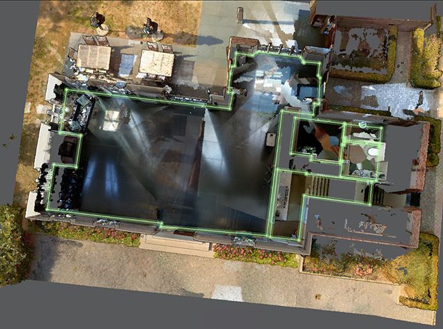
Fixed height measurements in a residence
Save time and reduce errors
Measuring directly within your Pointorama floorplan removes the need for switching tools or revisiting sites. You work inside the environment where your point cloud already lives, extracting what you need in just a few seconds.
By reducing the number of steps in your workflow, you:
- Eliminate the risk of transcription errors
- Deliver faster results to clients and teams
- Free up time for analysis and strategic decisions
It's smarter surveying, from scan to solution.
Designed with your workday in mind
Whether you're a surveyor or part of a construction team, you'll find this measurement tool to be a reliable, timesaving addition to your Pointorama toolkit.
- A surveyorChecking building geometry.
- A real estate expertCreating technical plans.
- An architect or plannerEvaluating spatial layouts.
- Part of a construction teamTranslating scans into action.
Watch the measurement tool at work
Curious how it works in practice? Watch our demo videos on YouTube to see real-time measurements being taken from a point cloud-based floorplan — no scripts, no mockups, just real data.
Related articles
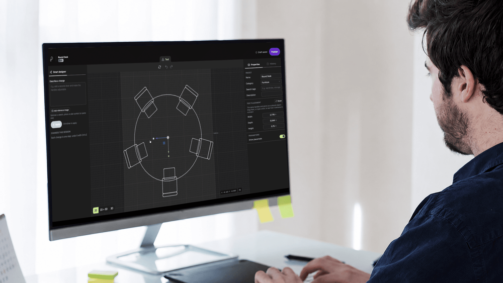
One request. One new feature.
One question at INTERGEO sparked a new Pointorama feature. Discover how customer feedback inspired an AI-powered tool to create custom furniture for floor plans, now in testing.

Innovations at Intergeo '25 – Discover the next features of Pythagoras CAD & Pointorama
Bezoek ons op Intergeo 2025 in Frankfurt en ontdek de nieuwste features van Pythagoras & Pointorama. Vraag je gratis ticket of boek een demo!

Scanning for success: A case study in 3D property mapping
From hours to minutes: Smarter 3D property mapping Discover how a real estate team reduced their floorplan workflow from over 3 hours to under 40 minutes using handheld 3D scanning and point cloud processing - without sacrificing accuracy. A case study from our presentation at GEO Business 2025.