Unlock a new workflow: AI that understands spaces and delivers instant floorplans
Discover Pointorama's AI floorplan generator - a new workflow that turns spatial data into precise floorplans in seconds. No manual tracing, no hardware limits, and full user control.
Let the space reveal itself
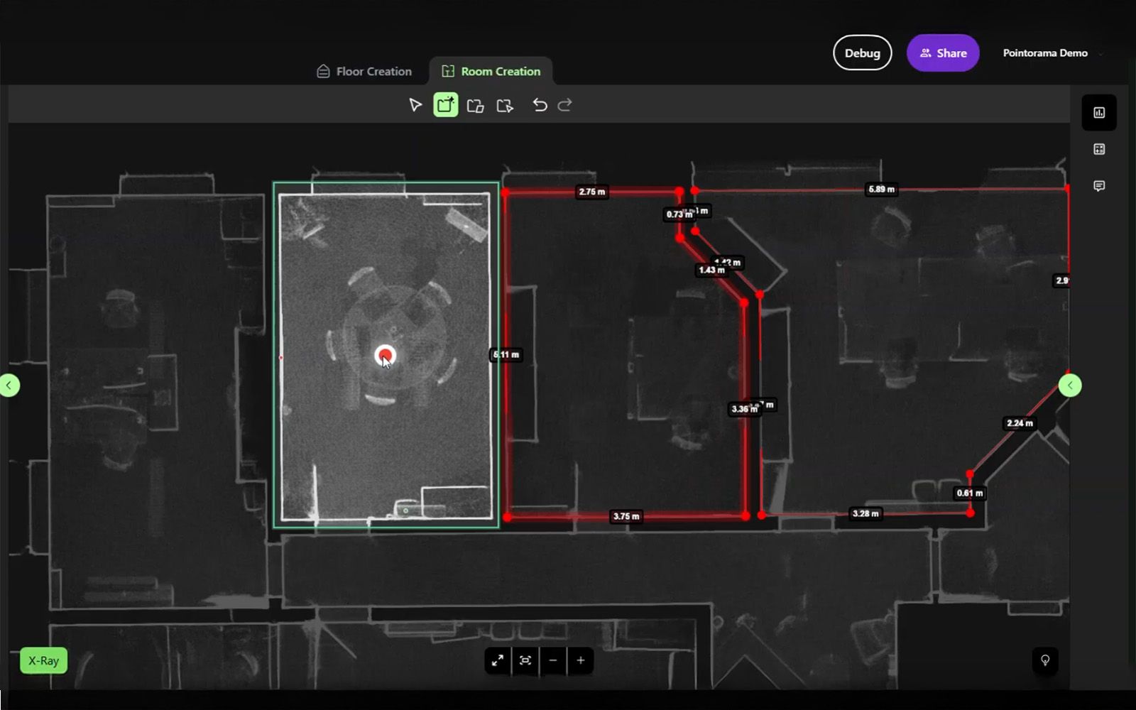
Watch how Pointorama's new AI floorplan generator turns spatial data into a clean, ready-to-use floorplan.
The new AI floorplan generator instantly transforms your spatial data into a clean, ready-to-use floorplan.
Surveyors, real estate professionals and AEC teams simply mark the area where AI should search. Within seconds, the tool interprets the structure and produces a full floorplan. And if the AI misses a detail, you can correct it with a single click.
No more drawing room by room. No more repetitive tracing. Just fast and intelligent automation.
Upload your dataset
See the AI floorplan generator at work on a real dataset.
AI that understands spaces
At its core is an AI engine built to recognise the elements that define a space. It analyses the geometry of the point cloud to detect the structure of a building.
Once recognised, AI draws a clear floorplan that can be refined with simple, intuitive clicks. The result: a dramatically faster workflow that turns minutes into seconds, while keeping you fully in control of every detail.
- Floors and levelsRecognising height differences and structural transitions.
- WallsIncluding angles, corners and interruptions.
- Room boundariesUnderstanding how areas connect.
Why the user stays in control
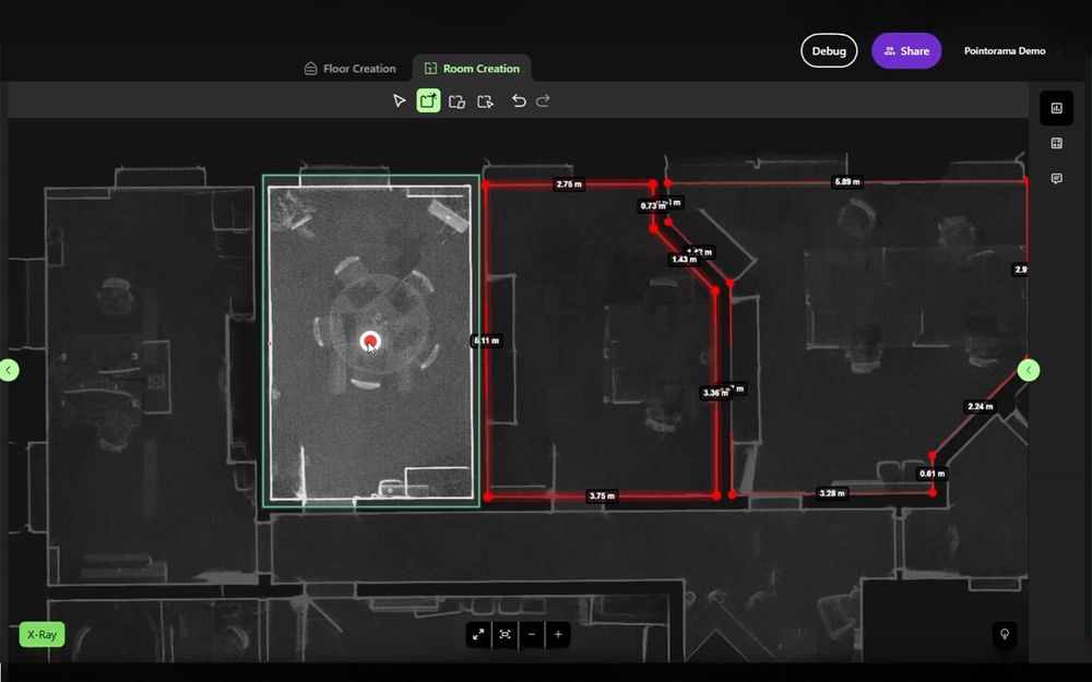
Even with powerful automation, your expertise remains central. You decide where AI should look, and you can adjust every line, curve or opening. The interface responds instantly, letting you guide and fine-tune the final result.
AI handles the heavy work. You stay in command.
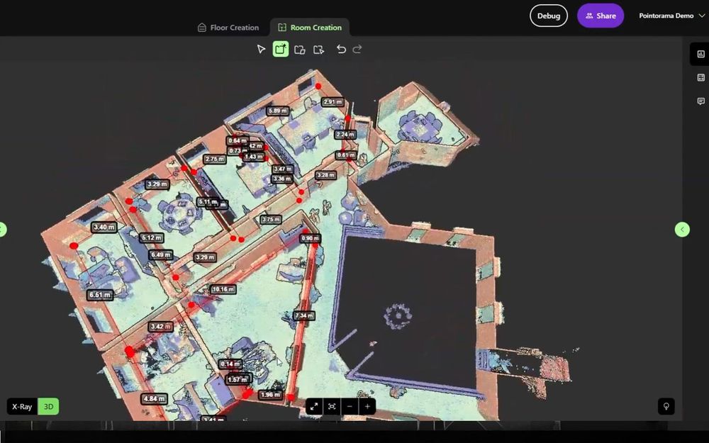
A smarter workflow for surveyors, real estate professionals and AEC teams
With this new tool, Pointorama brings together what professionals across surveying, real estate and AEC rely on most: speed, accuracy and control. It eliminates repetitive drafting, shortens delivery times and produces clean, reliable floorplans that integrate seamlessly into a wide range of workflows — from property documentation and listings to early design, feasibility studies and renovation planning.
The AI engine transforms raw spatial data into layouts that are ready for refinement or export into existing tools, helping teams move faster while maintaining professional standards. Manual steps disappear, but human judgement remains central, ensuring every project benefits from both automation and expertise.
This sets a new benchmark for how indoor spaces can be captured, interpreted and delivered — and we're only getting started.
What the future holds
And this is only the beginning. In the coming months, Pointorama's AI will expand far beyond floorplans: automatic door and window detection, façade interpretation and even AI-generated sections and elevations built from the same underlying technology. What starts today with instant floorplans will soon evolve into a fully automated extraction pipeline — one that unlocks complete building documentation with just a few clicks. The future of spatial intelligence is unfolding, and Pointorama is leading the way.
See how fast floorplan creation can be
Ready to see how fast and effortless floorplan creation can truly be? With Pointorama's new AI workflow, you can turn any spatial data — from any device — into a precise floorplan in seconds. No manual tracing, no repetitive work, just intelligent automation that keeps you in full control.
Not using Pointorama yet?
Related articles
Transforming real estate with 3D scanning
3D scanning is revolutionizing real estate by providing fast, accurate property measurements and detailed floor plans. With SLAM technology, professionals can quickly map properties and eliminate outdated blueprints. Tools like Pointorama turn raw scans into actionable insights, improving efficiency and decision-making.
Discover at Trefdag how to get from measurement data to deliveries faster
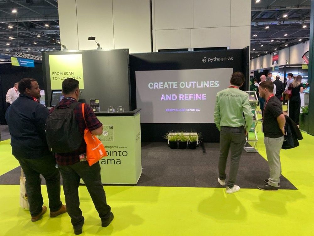
Meet Pythagoras at Trefdag Digitaal Vlaanderen on 22 October, stand 45. Discover how Pythagoras CAD and Pointorama help geospatial professionals work faster, automate repetitive tasks and turn measurement data into usable results.
One request. One new feature.
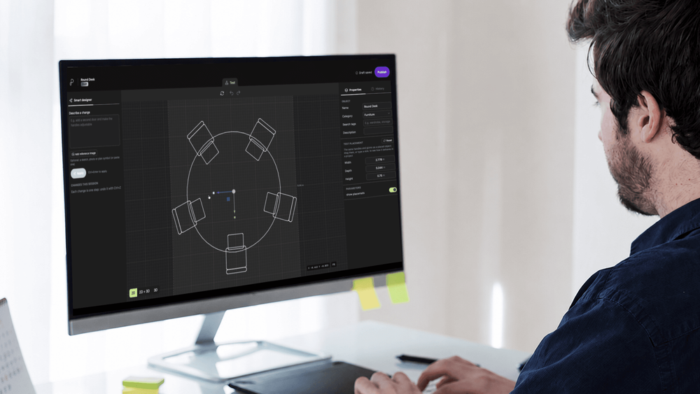
One question at INTERGEO sparked a new Pointorama feature. Discover how customer feedback inspired an AI-powered tool to create custom furniture for floor plans, now in testing.