Indoor mapping and its role in modern surveying and construction
Indoor mapping has become a foundational technology for surveying and construction workflows involving existing buildings. By capturing interior environments as scan-based geometry, indoor mapping provides a reliable spatial reference that can be reused across applications such as floor plan generation, renovation and retrofit projects, scan-to-BIM workflows, real estate documentation and facility management.
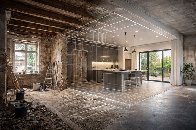
Indoor mapping as a foundation for multiple applications
Indoor mapping is not an end product. Its value lies in what it enables.
By scanning an interior once and deriving all outputs digitally from the same dataset, indoor mapping establishes a single spatial reference. Floor plans, sections, measurements and analyses are all based on the same captured geometry, ensuring internal consistency across deliverables.
This approach is especially valuable in environments where existing documentation is incomplete, outdated or unreliable. Rather than correcting drawings one by one, indoor mapping replaces the underlying reference with measured reality.
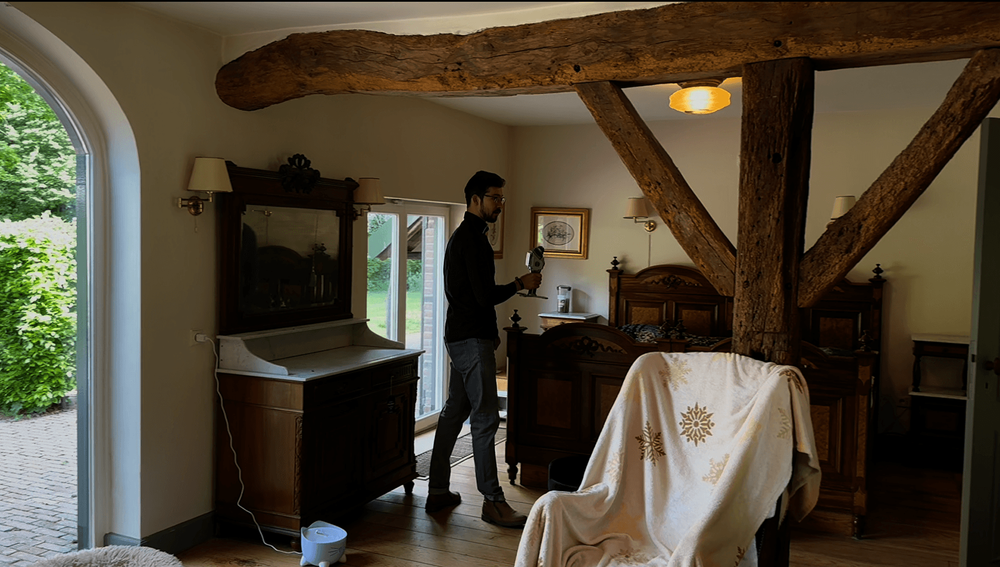
Capturing the real geometry of existing buildings
One of the most fundamental applications of indoor mapping is documenting existing buildings as they actually are. Many interiors have evolved significantly since their original construction, often without comprehensive updates to documentation.
By working from measured geometry rather than interpreted drawings, professionals gain a reliable representation of the current state of the building. This measured baseline forms the starting point for all downstream applications.
- Real dimensions and spatial relationships
- Deviations from original plans
- Changes introduced through renovations or functional adaptations
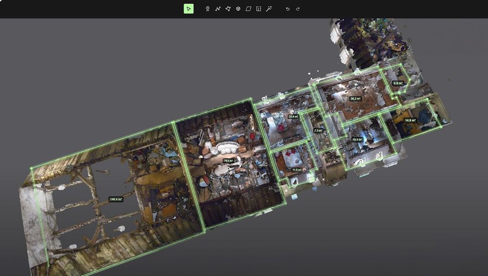
From scan data to floor plans, sections and elevations
Floor plans and sections remain core deliverables in surveying and construction, yet they are often based on selective measurements or legacy drawings. Indoor mapping changes how these documents are produced.
Instead of manual reconstruction, plans and sections are derived directly from scan-based geometry. Walls, rooms, level changes and spatial relationships are extracted from measured data rather than inferred.
This results in:
- consistent dimensions across all representations
- accurate depiction of complex and multi-level interiors
- reduced discrepancies between plans, sections and 3D views
Because all outputs originate from the same dataset, updates can be generated digitally without repeating site measurements.
Reliable base data for renovation and retrofit projects
Renovation and retrofit projects depend heavily on understanding existing conditions. Yet this is precisely where uncertainty is often highest.
Indoor mapping provides reliable base data by capturing the as-built condition before design and execution begin. This allows project teams to work from a shared and verified spatial reference.
External industry research consistently identifies poor existing-condition data as a major contributor to rework and cost overruns in renovation projects. Indoor mapping directly addresses this risk by stabilising the starting point of the project.
- Fewer assumptions during design
- Earlier identification of spatial constraints
- Improved coordination between design and execution
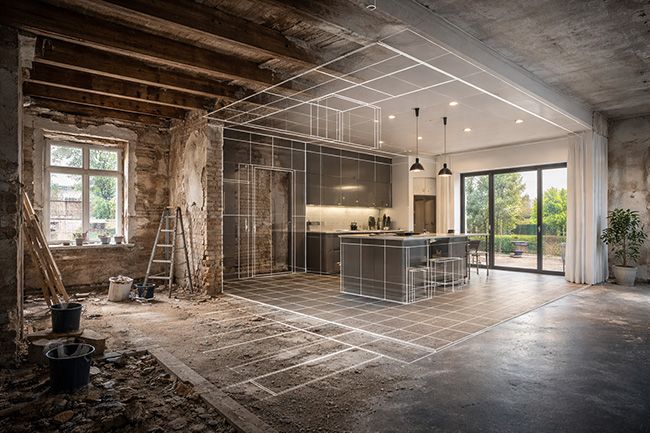
Surveying workflows supported by indoor mapping
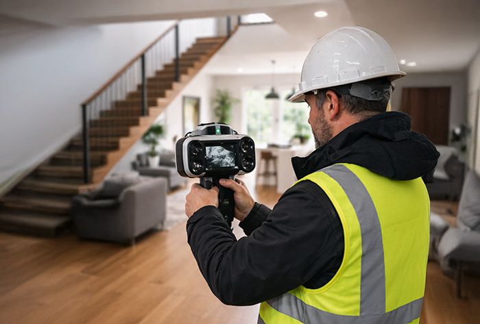
For surveyors, indoor mapping extends traditional workflows into the digital domain. Once the interior environment is captured and processed, the dataset itself becomes a measurement environment.
This reduces field time while improving traceability, as all measurements remain tied to the same captured geometry.
- As-built documentation of interior spaces
- Verification of layouts prior to design or construction
- Digital measurement of distances, areas and spatial relationships
Indoor mapping in scan-to-BIM workflows
Scan-to-BIM workflows rely on a clear distinction between capturing geometry and interpreting it into structured models. Indoor mapping plays a crucial intermediary role in this process.
By organising point cloud data into a reliable spatial reference, indoor mapping anchors BIM modelling to measured reality. This reduces assumptions during model creation and improves spatial consistency across disciplines.
Scan-to-BIM workflows supported by indoor mapping are particularly valuable in renovation and retrofit contexts, where original BIM models are missing or no longer reflect current conditions.
Applications in real estate and property documentation
In real estate workflows, spatial documentation must balance efficiency with reliability. Floor areas, layouts and internal relationships influence valuation, due diligence and property records.
For property portfolios, this consistency is often more valuable than speed alone.
- Measurements remain consistent across documents
- Updates can be generated without repeated site visits
- Documentation reflects actual conditions at the time of capture
Facility management and operational use
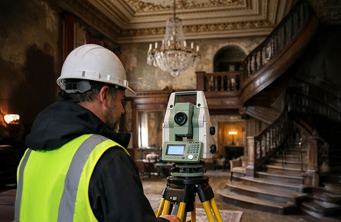
Once a building is in use, spatial information continues to evolve. Spaces are adapted, installations change and layouts are reconfigured.
Indoor mapping provides a digital spatial reference that reflects current conditions rather than original intent. Accurate layouts derived from scan-based data support:
- understanding of spatial organisation and circulation
- locating assets and installations
- planning maintenance and interventions
Because the dataset can be reused and updated, it becomes a long-term reference throughout the building’s operational lifecycle.
Efficiency gains in large and complex buildings
Indoor mapping is particularly effective in large and complex buildings such as offices, schools, hospitals, industrial facilities and retail environments. In these contexts, manual measurement and fragmented documentation scale poorly.
By capturing the entire interior as a single dataset, indoor mapping enables documentation, analysis and coordination to shift almost entirely into the digital domain. Repeated site visits are reduced, and spatial complexity becomes manageable rather than overwhelming.
As building size and complexity increase, the efficiency gains of indoor mapping become more pronounced.
Capture once, reuse everywhere
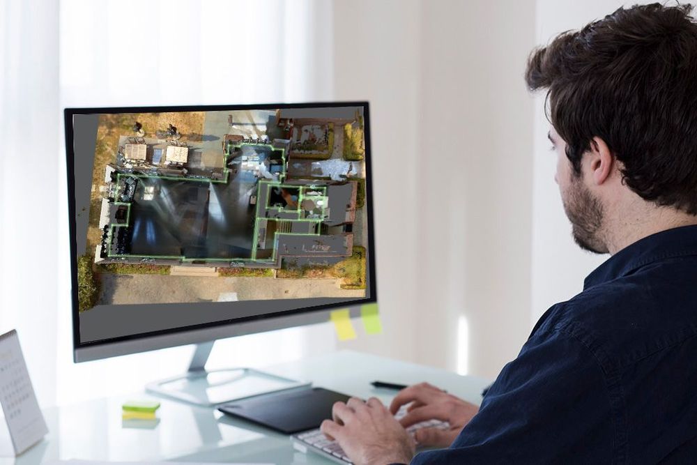
A defining characteristic of indoor mapping is the reuse of captured data. Once an interior environment is scanned, all of the following can be done without returning to the site — improving efficiency, consistency and scalability across surveying and construction workflows.
- Floor plans can be generated
- Measurements can be extracted
- Analyses can be performed
- Documentation can be updated
Limitations and professional considerations
Indoor mapping is a powerful tool, but it is not automatic. Its effectiveness depends on proper capture, sufficient coverage and careful processing. Temporary obstructions, inaccessible areas or incomplete scans will be reflected in the dataset.
As with any measurement-based workflow, professional interpretation and validation remain essential. Indoor mapping should be understood as a method that enhances expertise, not replaces it.
Conclusion
Indoor mapping has become a foundational technology for surveying and construction workflows involving existing buildings. By capturing interior environments as scan-based geometry, it provides a reliable spatial reference that supports documentation, renovation, real estate, facility management and scan-to-BIM applications.
Its strength lies not in a single deliverable, but in the reuse of a shared dataset across disciplines and project phases. As renovation and adaptive reuse continue to dominate the built environment, indoor mapping will play an increasingly central role in how professionals understand, document and work with interior spaces.
Download your free white paper on indoor mapping
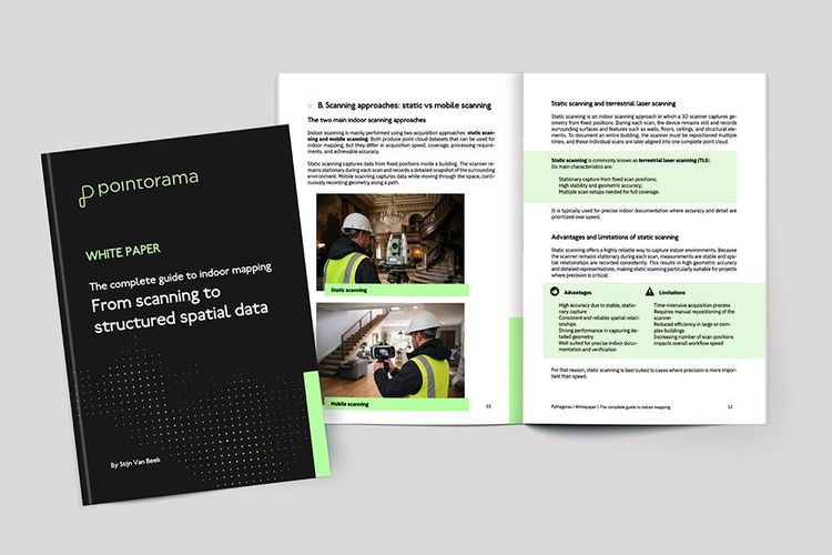
Dive into the fundamentals of indoor mapping and better understand the technology behind the workflow. Download our free white paper and discover how scanning, point clouds and floor plan generation come together.
- How scanning and point clouds capture real building geometry
- How floor plans, sections and measurements are derived from one dataset
- Where indoor mapping fits in renovation, real estate and scan-to-BIM workflows
Related articles
Point cloud registration: what it is and why it matters
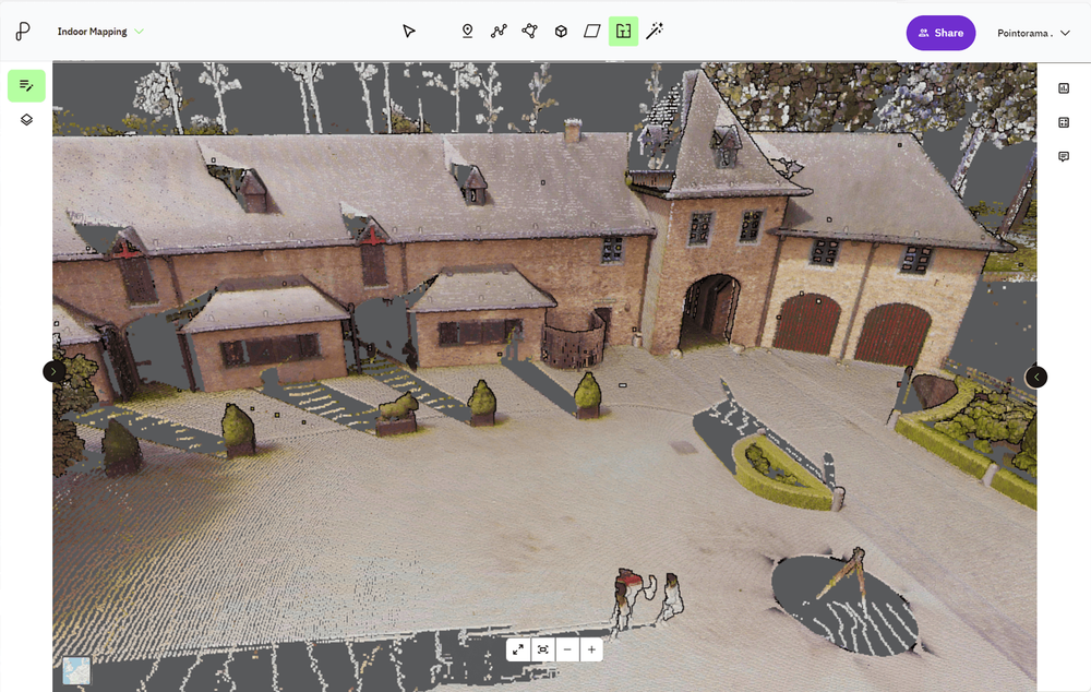
At GEO Business we talked a lot about smarter workflows, but it all starts with accurate data. And when working with multiple scans, that means registration. In short: point cloud registration aligns different scans into one coherent 3D dataset - so you can model, measure, and monitor with confidence.
Scanning for success: A case study in 3D property mapping
From hours to minutes: Smarter 3D property mapping Discover how a real estate team reduced their floorplan workflow from over 3 hours to under 40 minutes using handheld 3D scanning and point cloud processing - without sacrificing accuracy. A case study from our presentation at GEO Business 2025.
GEO Business 2026 recap: Why our latest Pointorama release turned heads
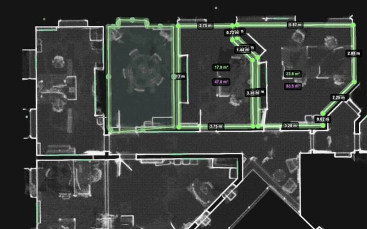
At GEO Business 2026, Pointorama showcased its latest release, demonstrating how professionals can transform point clouds into accurate floor plans, measurements and deliverables within a single platform. Discover the new features, the industry's biggest challenges, and how AI-powered automation is helping teams work faster and more efficiently.