Pointorama on tour: meet us at key events in 2026
Meet Pointorama at key events in 2026. Discover new features, explore innovations and connect with our team across Europe.In 2026, Pointorama will be present at leading geospatial events across Europe, including GeoBusiness, Intergeo and Trefdag Digitaal Vlaanderen. Discover our latest innovations, explore new workflows and experience how much our technology has evolved when you meet us in person.
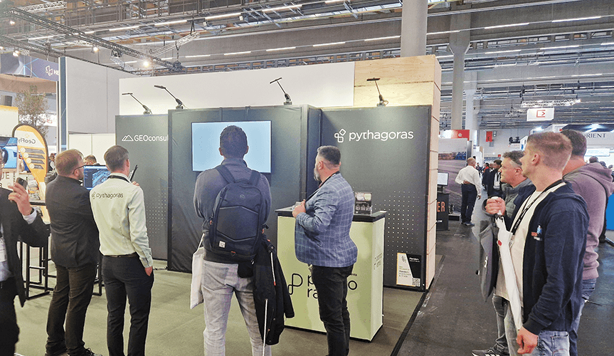
We're hitting the road in 2026
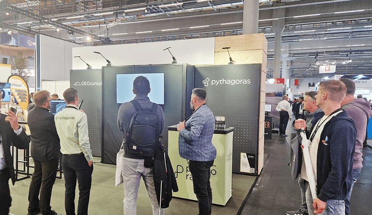
We are excited to be present at several key events this year.
- From 3 to 4 June 2026, we will be attending GeoBusiness in London. This event brings together experts in geospatial technology, mapping and data. It is the ideal setting to discover how Pointorama continues to evolve and deliver value in real-world applications.
- Later this year, from 15 to 17 September 2026, you can meet us at Intergeo in Munich. As one of the most important global events in our industry, Intergeo is the perfect place to showcase how our technology integrates into modern workflows and supports the future of digital mapping.
- On 22 October 2026, you can meet us at Trefdag Digitaal Vlaanderen in Ghent, an important gathering for the Belgian geospatial community. It is the perfect opportunity to exchange ideas, showcase our latest developments and discuss real-world applications with professionals from the field.
Review and refine your floor plan
There's a real chance you won't recognize the tool
If you have seen Pointorama at a trade show before, it is absolutely worth stopping by again.
Over the past year, we have taken big steps forward. Our tools have evolved significantly with new features, smarter workflows and a stronger focus on usability. What you saw last year is no longer what you will experience today.
There is a real chance you will not even recognize the tool anymore.
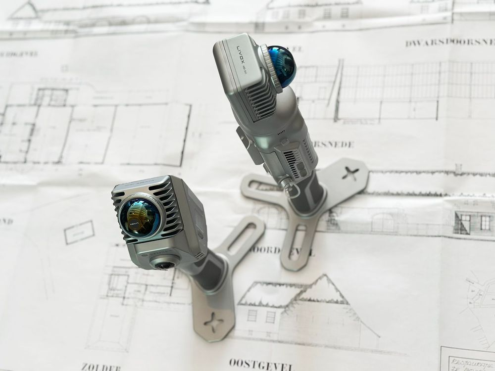
Innovation that keeps moving
We continue to build on new and sometimes unexpected ideas. Not just incremental improvements, but truly innovative approaches that change how indoor mapping can be used.
Our mission remains clear: making it faster and easier to generate accurate floor plans from point cloud data, while fitting seamlessly into existing processes.
Looking ahead
In addition to these events, we are also exploring new trade shows this year. We are continuously looking for new opportunities to meet users, enter new markets and keep pushing innovation forward.
Will we see you there?
If you are attending one of these events, make sure to stop by. Whether you are curious, already a user, or simply want to see what has changed, we would love to meet you.
Pointorama keeps evolving. And this year, more than ever, it is worth taking another look.
Related articles
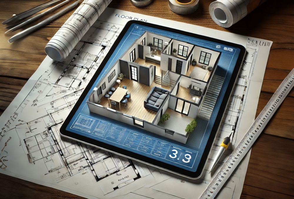
Transforming real estate with 3D scanning
3D scanning is revolutionizing real estate by providing fast, accurate property measurements and detailed floor plans. With SLAM technology, professionals can quickly map properties and eliminate outdated blueprints. Tools like Pointorama turn raw scans into actionable insights, improving efficiency and decision-making.
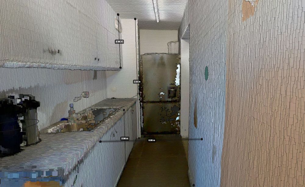
Accurate indoor measurements made easy with Pointorama
Quick, reliable, and truly intelligent. With built-in surface recognition, you can now measure walls, ceilings and floors directly within your digital floorplan - no extra tools, no second-guessing. Whether you're in surveying, real estate, or architecture, this is accuracy made effortless.
Photogrammetry vs. LiDAR for aerial surveying: a comprehensive comparison
Photogrammetry and LiDAR are two leading technologies in aerial surveying - each with distinct advantages. This article breaks down how they work, where they shine, and which one best fits your project's goals, environment, and budget.