Partnering with OmniSLAM to deliver project-ready mobile SLAM data
Pythagoras and OmniSLAM collaborate to convert mobile SLAM scans into reliable, project-ready CAD and BIM deliverables using an open platform approach.
About OmniSLAM
OmniSLAM is an internationally active hardware specialist, focused on the development of high-precision mobile SLAM laser scanners. The company designs professional mobile mapping systems used in surveying, construction and industrial environments worldwide. With a strong focus on accuracy and real-world usability, OmniSLAM aligns naturally with Pointorama’s open and hardware-agnostic ecosystem.
From fast capture to usable data
Mobile SLAM scanners enable rapid data acquisition in complex environments, but real value is created during processing and analysis. OmniSLAM’s R8+ delivers dense point clouds with millimeter-level accuracy, providing a solid foundation for professional workflows.
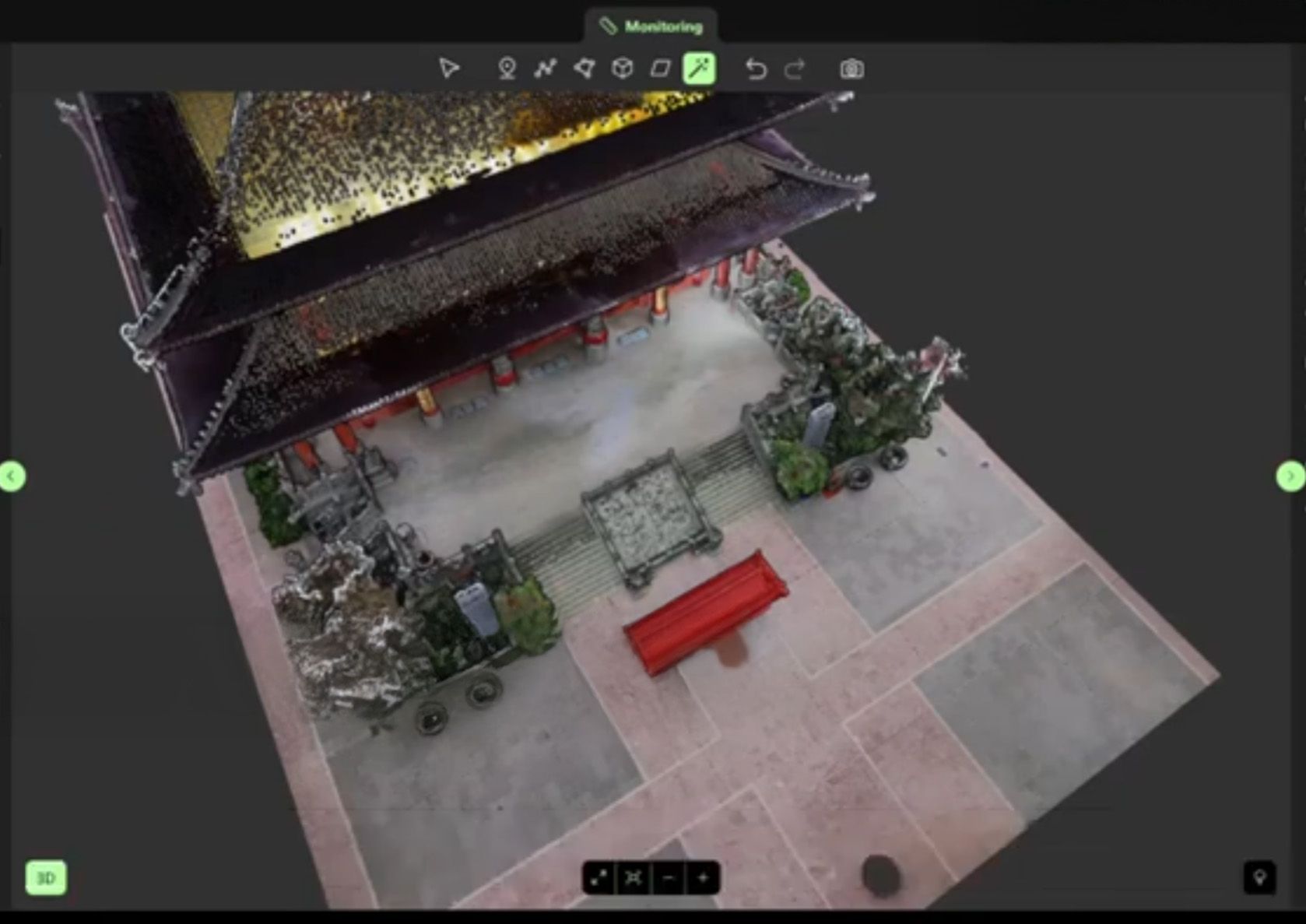
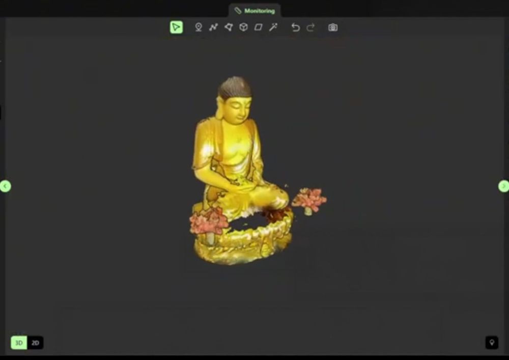
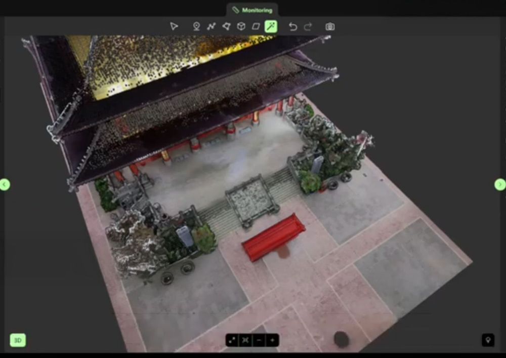
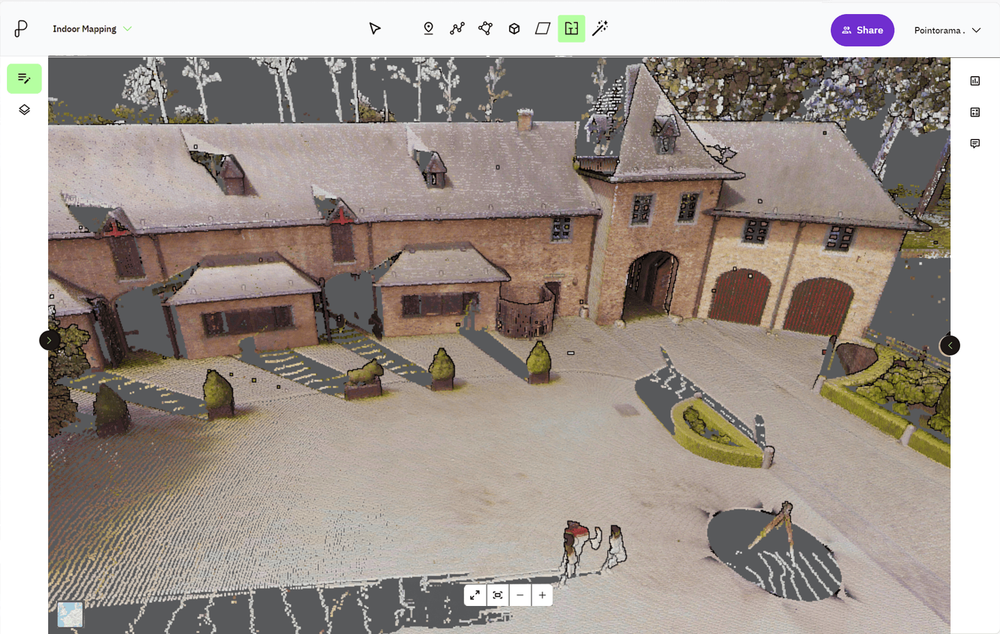
Processed in Pointorama, this data can be analyzed directly in the browser. Users can classify objects within the point cloud, perform plane-based measurements, and efficiently generate measured floor plans.
See it in action
OmniSLAM x Pointorama — turning mobile SLAM data into project-ready output
Built for CAD and BIM workflows
Pointorama converts OmniSLAM SLAM data into DXF and IFC outputs ready for CAD and BIM environments. This significantly reduces the time between scanning and actionable project data, making mobile mapping suitable for real-world surveying, construction and real estate workflows.
An open and scalable ecosystem
This collaboration aligns with Pythagoras’ broader vision of open, hardware-agnostic platforms that integrate seamlessly into existing ecosystems. Pointorama can operate as a standalone solution or as a white-label component within partner environments, offering flexibility for hardware manufacturers and end users alike.
Practical mobile mapping with real project value
By aligning OmniSLAM’s mobile scanning capabilities with Pointorama’s intelligent processing workflows, users move faster from scan to result — without compromising accuracy or interoperability.
Flexible technology. Practical workflows. Real project value.
Looking to extend your mapping ecosystem?
Pointorama is built as an open, hardware-agnostic platform that can be integrated into existing solutions — from standalone deployments to fully white-label implementations. If you’re exploring how point cloud processing can strengthen your product offering or workflows, we’d be happy to explore the options.
Related articles

Choosing between static and kinematic scanning: finding the right fit
Looking for precision or speed? Static scanning captures ultra-detailed data from fixed points, perfect for architecture and engineering. Kinematic scanning maps large areas quickly, ideal for roads and urban planning. Each has its strengths - discover which one suits your project best!
Innovations at Intergeo '25 – Discover the next features of Pythagoras CAD & Pointorama
Bezoek ons op Intergeo 2025 in Frankfurt en ontdek de nieuwste features van Pythagoras & Pointorama. Vraag je gratis ticket of boek een demo!
Point cloud registration: what it is and why it matters
At GEO Business we talked a lot about smarter workflows, but it all starts with accurate data. And when working with multiple scans, that means registration. In short: point cloud registration aligns different scans into one coherent 3D dataset - so you can model, measure, and monitor with confidence.