Innovations at Intergeo '25 – Discover the next features of Pythagoras CAD & Pointorama
Bezoek ons op Intergeo 2025 in Frankfurt en ontdek de nieuwste features van Pythagoras & Pointorama. Vraag je gratis ticket of boek een demo!
Where the entire geospatial world comes together
Intergeo is the one place where the entire geospatial world comes together. You’ll not only meet the leading hardware brands with their newest total stations, drones, scanners and GNSS solutions — you’ll also discover how our software innovations bring this data to life.
- The newest updates of Pythagoras CAD and PointoramaUnveiled exclusively at Intergeo.
- Smarter, faster workflowsThat transform survey data into accurate results in just a few clicks.
- Continuous innovationOur development team works every day to build new features and improve existing ones, keeping you ahead of the curve.
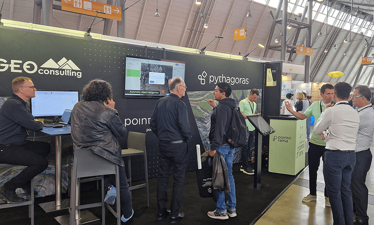
Your brand, our technology
There’s more to it than end-user software. What you’ll see at our booth is also available as a white label solution — giving companies the chance to bring our technology to market under their own brand.
With white label partnerships, industry leaders extend their portfolio and deliver proven solutions to their customers without starting from scratch. Our technology integrates seamlessly, allowing you to focus on your business while we keep innovating in the background.
Several companies are already using Pythagoras CAD and Pointorama as white label platforms to grow their offering. Intergeo is the perfect place to explore how your brand can do the same.

Get your free ticket
Want to be part of Intergeo 2025? We’re happy to provide you with a free entrance ticket. Simply send us an email and we’ll make sure you receive your personal voucher to join the event.
Schedule your one-on-one at Intergeo
Schedule your one-on-one at Intergeo or, if you’re not attending, book a remote demo with our team.
Related articles
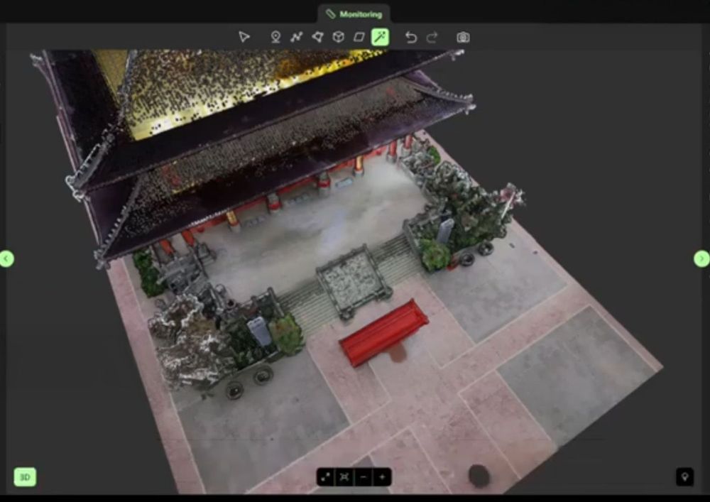
Partnering with OmniSLAM to deliver project-ready mobile SLAM data
Pythagoras and OmniSLAM collaborate to convert mobile SLAM scans into reliable, project-ready CAD and BIM deliverables using an open platform approach.
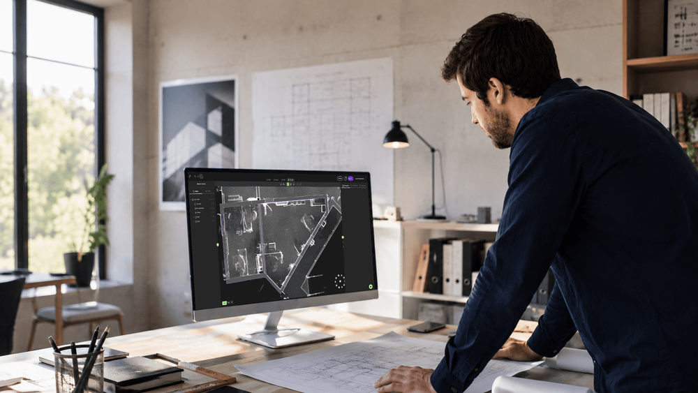
INTERGEO 2026: Meet Pointorama in Munich
Meet Pointorama at INTERGEO 2026 in Munich. Discover our latest Scan-to-Floorplan innovations, see live demos and claim your free visitor voucher.
Think you know Pointorama? Think again
If you visited Pointorama at a trade show last year, there's a good chance you remember us as an innovative platform for viewing and processing indoor point clouds. That description is no longer sufficient.