Billion-point projects
Load and work with truly massive datasets.
Massive point clouds, directly in your browser. Analyse, measure and generate floor plans from full-resolution datasets — no high-end workstation, no local install.
Full feature access — no credit card required
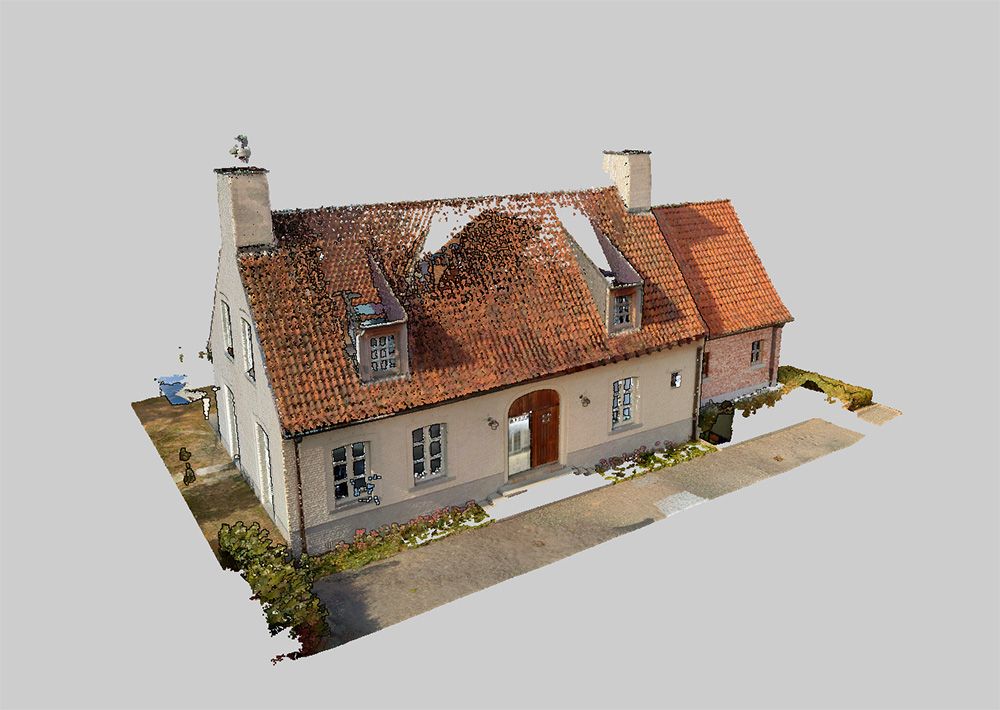
Pointorama is designed to work with massive point clouds directly in your browser. Analyse, measure and generate floor plans from full-resolution datasets without requiring a high-end workstation or local installation.
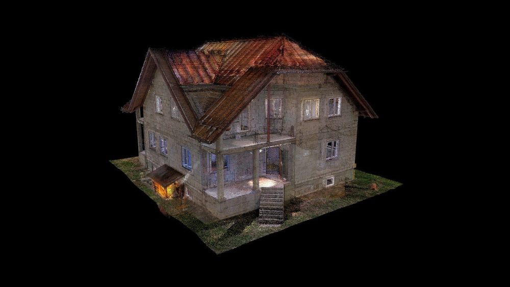
Load and work with truly massive datasets.
Analyse and measure on the complete point cloud.
No local installation required — it runs in the browser.
Open your projects from any machine, wherever you are.
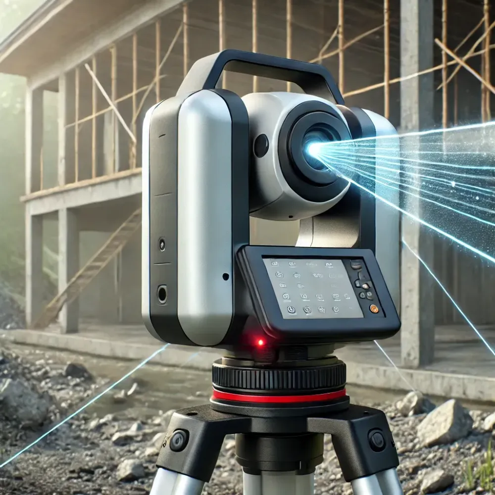
3D laser scanning revolutionizes surveying with speed and precision, but managing point clouds can be a challenge. Discover how Pointorama streamlines processing for maximum efficiency! 🚀 Read more!
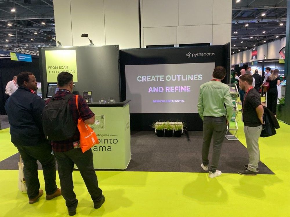
Meet Pythagoras at Trefdag Digitaal Vlaanderen on 22 October, stand 45. Discover how Pythagoras CAD and Pointorama help geospatial professionals work faster, automate repetitive tasks and turn measurement data into usable results.
Bezoek ons op Intergeo 2025 in Frankfurt en ontdek de nieuwste features van Pythagoras & Pointorama. Vraag je gratis ticket of boek een demo!
Start a free trial and process a full-resolution point cloud in your browser today. No credit card required.