The fastest way to create accurate floor plans
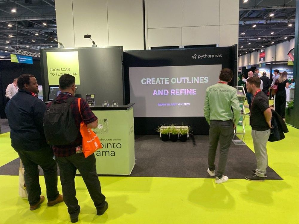
Our community is growing, and therefore an introduction is in order. Pointorama turns scans into accurate 2D and 3D floor plans within minutes. With centimeter-level precision and seamless export to CAD and BIM, professionals can work faster, smarter and without the hassle of manual cleanup.
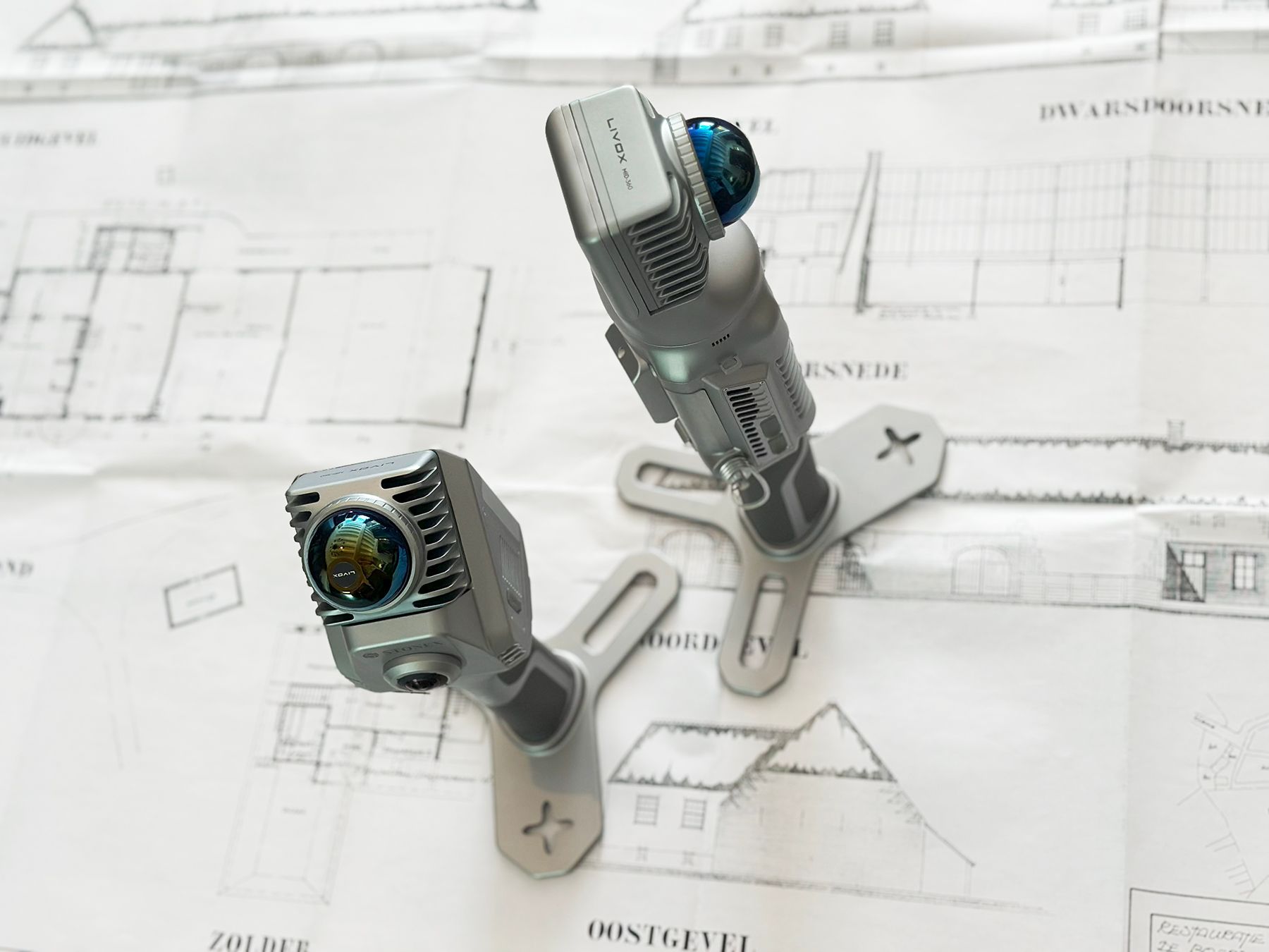
Turning scans into results
Raw point cloud data becomes precise 2D and 3D floor plans automatically. Thanks to intelligent wall and floor detection, every plan achieves centimeter-level accuracy. Exports to CAD, BIM, or design tools are seamless, so results are instantly available for use—whether in property documentation or architectural workflows.
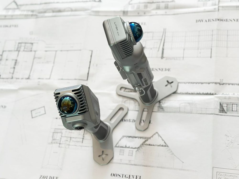
Designed for professionals
We combine precision with ultimate ease of use. While other solutions require complex training, Pointorama works straight out of the box with an intuitive interface. Our automated wall and floor detection delivers centimeter-level accuracy, ready for CAD, BIM or other design tools. This means faster results, fewer errors and plans that are immediately usable in professional workflows.
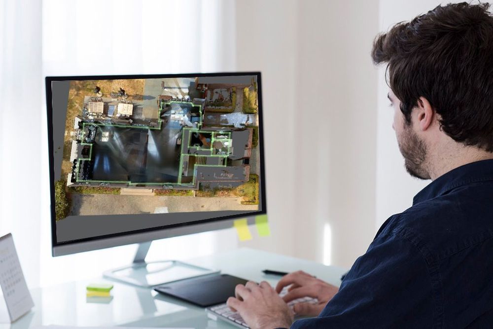
Our vision
In sectors like real estate, architecture, and construction, both time and accuracy are critical. Pointorama's mission is to make advanced mapping technology accessible to everyone—without a steep learning curve. By cutting manual steps and shortening production times, we help professionals work smarter, not harder.
Create your floor plan with Pointorama
Everything you need to map faster
- From scan to floor plan in minutes
- Centimeter-level accuracy for walls and floors
- Smooth export to CAD, BIM, and floor plan software
- No training needed—ready from day one
- Built for speed, accuracy, and workflow integration
Real-world impact
A real estate agency struggling with time-consuming manual workflows put Pointorama to the test. Previously, creating one floor plan meant tape measures, sketches, and more than three hours of work. With Pointorama, an eight-minute handheld 3D scan plus automatic processing produced a NEN 2580-compliant plan in under 15 minutes. What once filled a whole morning now fits into a coffee break—doubling daily output, reducing errors, and removing stress from the process.
Ready to join our journey?
Our community keeps growing, and we're proud to see more professionals discover the speed and simplicity of Pointorama. Are you ready to experience it yourself? Connect with us, share your thoughts, or reach out to explore how Pointorama can transform the way you work.
Related articles
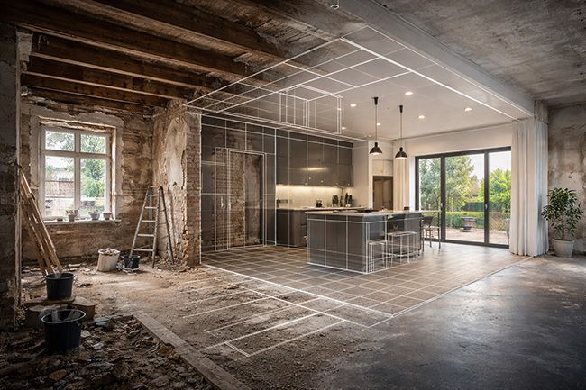
Indoor mapping and its role in modern surveying and construction
Indoor mapping has become a foundational technology for surveying and construction workflows involving existing buildings. By capturing interior environments as scan-based geometry, indoor mapping provides a reliable spatial reference that can be reused across applications such as floor plan generation, renovation and retrofit projects, scan-to-BIM workflows, real estate documentation and facility management.
Discover at Trefdag how to get from measurement data to deliveries faster
Meet Pythagoras at Trefdag Digitaal Vlaanderen on 22 October, stand 45. Discover how Pythagoras CAD and Pointorama help geospatial professionals work faster, automate repetitive tasks and turn measurement data into usable results.

Innovations at Intergeo '25 – Discover the next features of Pythagoras CAD & Pointorama
Bezoek ons op Intergeo 2025 in Frankfurt en ontdek de nieuwste features van Pythagoras & Pointorama. Vraag je gratis ticket of boek een demo!