Release of new feature 'Object detection'
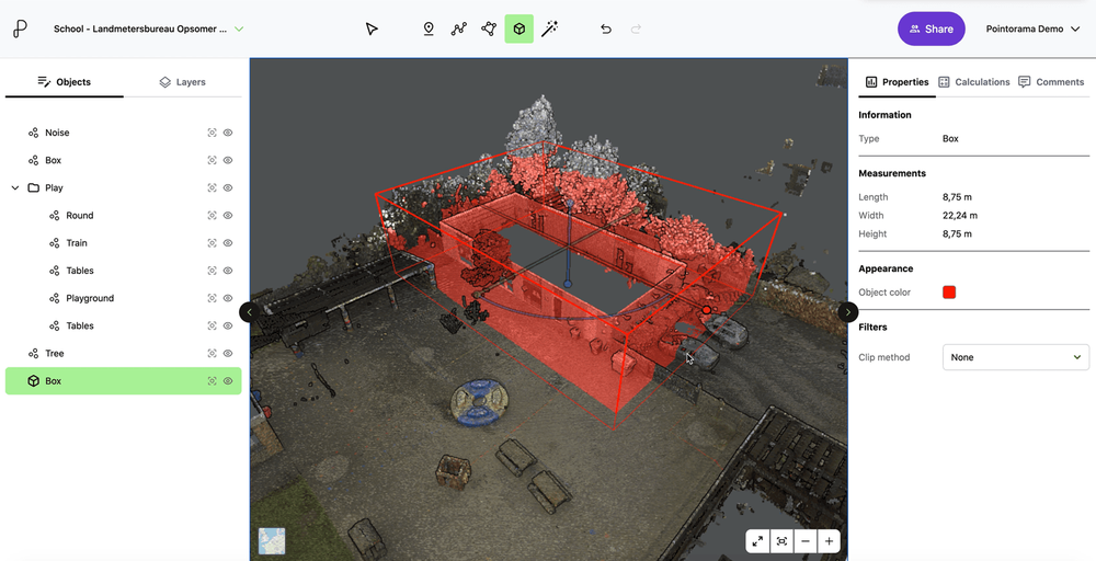
Today, we're excited to shine a spotlight on one of its powerful features: 'Point Clustering' or 'Object detection'. Point Clustering, a new feature of Pointorama, simplifies the intricate process of data organization in just a few clicks
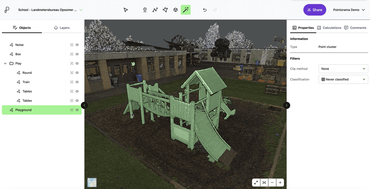
Understanding 'Object detection'
Point Clustering, a new feature of Pointorama, simplifies the intricate process of data organization in just a few clicks. During the import process, Pointorama goes beyond mere data organization – it detects objects. This detection involves recognizing individual points and grouping them based on their association with the same object or part of an object.
With Pointorama, you have the freedom to label data manually rather than relying on automatic processes. This gives you control over how your data is organized. By clustering on segment level instead of point level, users enable efficient organization with just a few simple clicks. Points that belong to the same object or share a common attribute can seamlessly identified and grouped. This not only enhances data visualization but also facilitates smoother data analysis, empowering users to derive valuable insights with ease.
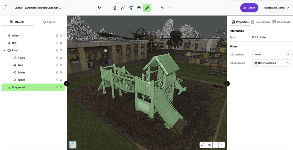
Unlocking the benefits of object recognition
In Pointorama, point clustering and object recognition empowers users with unparalleled control and flexibility. Here's how it works:
- Visibility controlOnce clusters or objects are created, users have the ability to toggle their visibility. This means you can choose to hide or highlight clusters that are not currently relevant or visible, reducing clutter and enhancing focus.
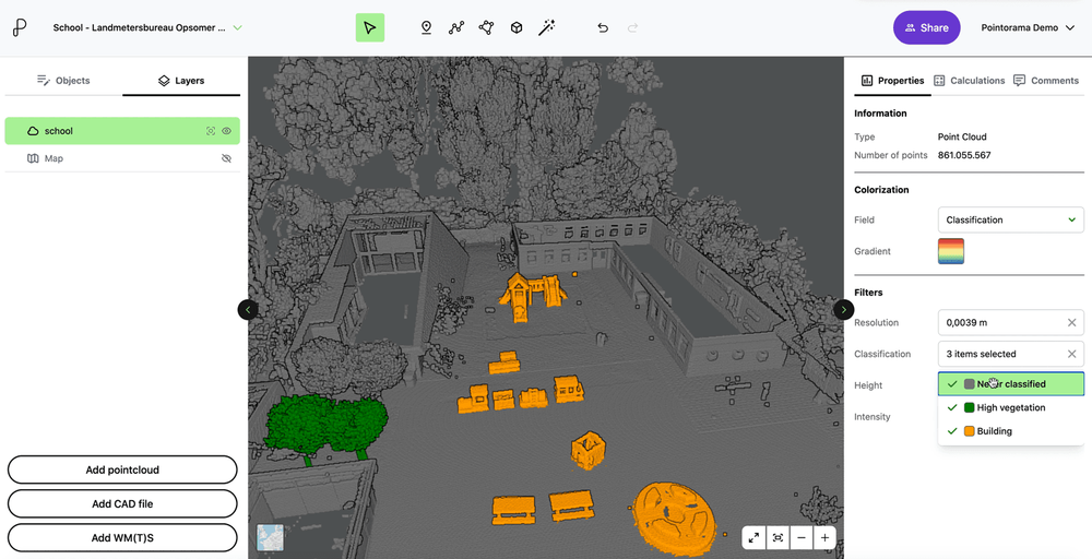
- Classifying objectsWith point clustering, users can effortlessly select, cluster and classify different objects or parts of objects. This functionality streamlines the visualization and management of complex datasets, enabling users to focus on what matters most.
- Customization optionsPoint clustering offers extensive customization capabilities beyond mere organization. Users have the freedom to choose which points or objects they want to cluster, allowing them to tailor the clustering process to their specific needs. Whether it's grouping buildings, trees, or even flower pots, Pointorama empowers users to organize their data in a way that makes sense for their projects.
Enhancing workflow efficiency
The benefits of point clustering extend far beyond mere organization. By streamlining data visualization and management, this feature significantly enhances workflow efficiency. With clusters, classes and objects at their fingertips, users can navigate even the most complex datasets with ease, making informed decisions and driving project success.
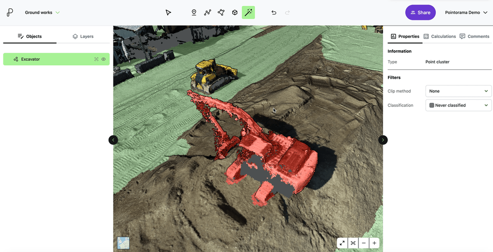
Driving innovation forward
At Pointorama, we're committed to pushing the boundaries of innovation – and object recognition is just the beginning. As technology continues to evolve, we remain dedicated to providing our users with the tools they need to stay ahead of the curve. With features like point clustering, the possibilities are endless.
Ready to experience point clustering?
Are you ready to unlock the full potential of your point cloud data? With Pointorama's point clustering feature, you can take control of your datasets like never before. Whether you're a seasoned professional or just getting started, Pointorama empowers you to achieve more.
Experience the power of Point Clustering for yourself – try Pointorama today!
Related articles
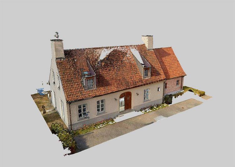
A practical guide to point clouds and point cloud processing
Point clouds are the foundation of modern surveying and indoor mapping. This article explains how point clouds are created, processed and validated to achieve accurate, survey-grade results, and why proper processing is essential for reliable measurements, floor plans and professional applications.
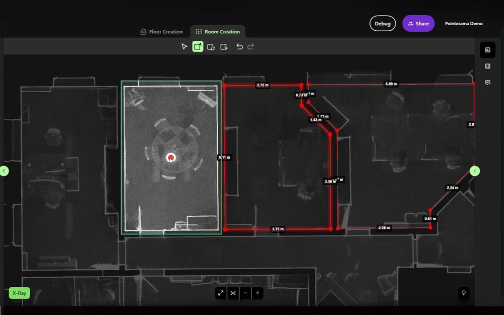
Unlock a new workflow: AI that understands spaces and delivers instant floorplans
Discover Pointorama's AI floorplan generator - a new workflow that turns spatial data into precise floorplans in seconds. No manual tracing, no hardware limits, and full user control.
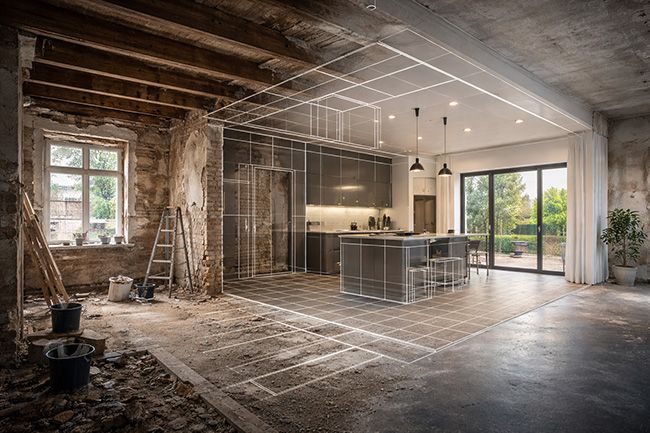
Indoor mapping and its role in modern surveying and construction
Indoor mapping has become a foundational technology for surveying and construction workflows involving existing buildings. By capturing interior environments as scan-based geometry, indoor mapping provides a reliable spatial reference that can be reused across applications such as floor plan generation, renovation and retrofit projects, scan-to-BIM workflows, real estate documentation and facility management.