Exploring surveying efficiency with 3D laser scanning
3D laser scanning revolutionizes surveying with speed and precision, but managing point clouds can be a challenge. Discover how Pointorama streamlines processing for maximum efficiency! 🚀 Read more!
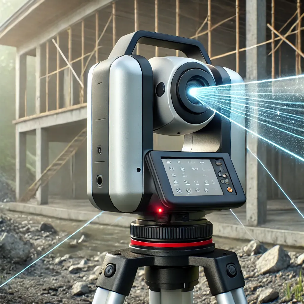
How 3D laser scanning works
3D laser scanning utilizes laser beams to rapidly capture detailed information about the shape and contours of objects and environments. The scanner emits laser pulses, which bounce off surfaces and return to the scanner, measuring the distance and shape of each point they hit. These points are then compiled to create a three-dimensional representation of the scanned area, known as a point cloud.
The result? Surveyors can capture millions of points per second, significantly improving accuracy and efficiency.
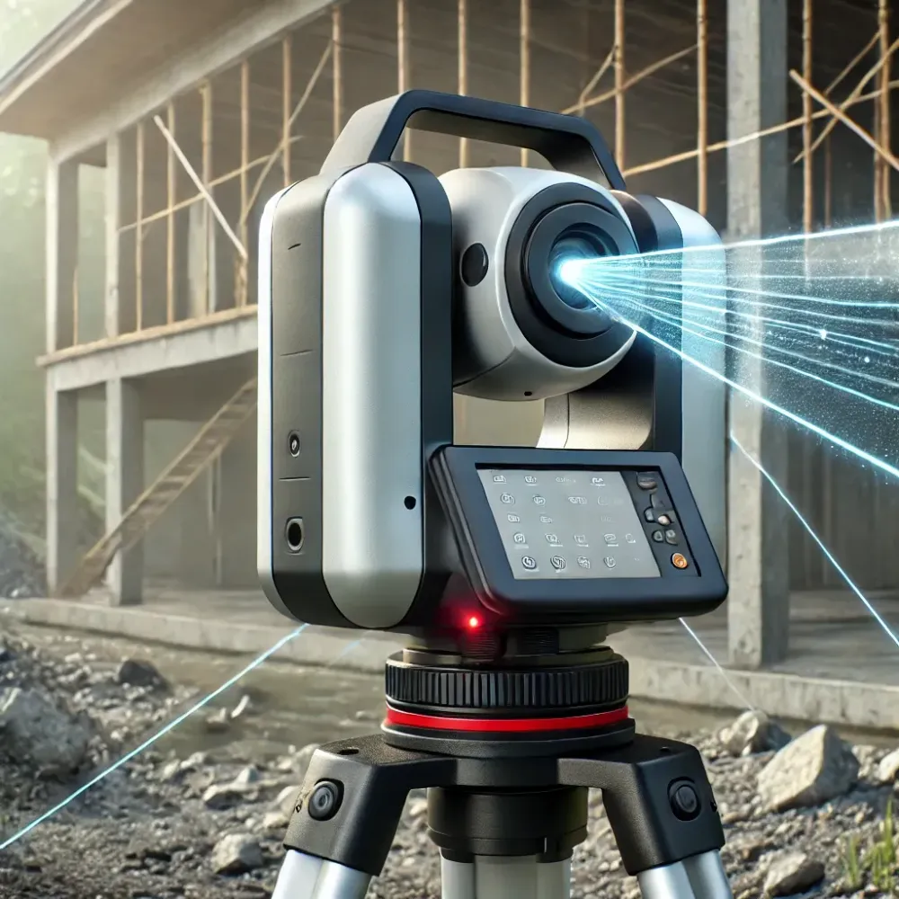
When is 3D laser scanning beneficial?
3D laser scanning is particularly advantageous in scenarios where precision and efficiency are crucial. It is invaluable in:
- ConstructionFrom site surveys to as-built documentation, 3D laser scanning provides accurate and detailed data for construction projects, facilitating precise measurements and analysis.
- ArchitectureArchitects can use 3D laser scanning to capture existing structures and environments with unparalleled accuracy, aiding in renovation projects, historical preservation and design development.
- Civil EngineeringIn civil engineering projects such as road construction or infrastructure development, 3D laser scanning offers precise topographical data, enabling engineers to make informed decisions and minimize errors.
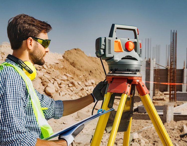
Traditional surveying vs. 3D laser scanning: the trade-offs
Before 3D laser scanners, total stations were the industry standard for high-precision surveying. They remain widely used today, offering millimeter-level accuracy in point-by-point data collection. However, they struggle to keep up with modern demands for speed, automation and coverage.
However, before adopting 3D laser scanning, it is important to understand how it compares to traditional total stations.
Key differences between total stations and 3D laser scanners
| Feature | Traditional total station | Recommended3D laser scanning |
|---|---|---|
| Measurement speed | Collects individual points manually | Captures millions of points per second |
| Coverage | Requires multiple setups for large areas | Covers large areas quickly with a single setup |
| Data accuracy | Highly accurate but depends on operator skill | High accuracy, but requires post-processing |
| Complexity | Manual point selection; efficient for simple projects | Automated, dense data capture; ideal for complex environments |
| Investment cost | Lower initial cost | Higher upfront investment but long-term efficiency gains |
| Post-processing | Minimal processing needed | Requires filtering and classification of raw data |
The hidden bottleneck: managing point clouds
At first glance, 3D laser scanning seems superior in every aspect—but the reality is more nuanced. While laser scanners generate vast amounts of data in minutes, the real challenge lies in processing this information efficiently.
One of the most overlooked challenges of 3D laser scanning is the massive volume of data it produces.
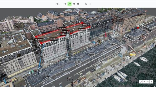
Did you know?
A single scan can generate billions of points, capturing not only useful features but also noise—such as unwanted reflections, irrelevant objects and atmospheric distortions.
Without an efficient processing workflow, surveyors can spend more time cleaning raw data than they would with traditional total stations. This is where Pointorama makes a real difference.
Enter Pointorama: streamlining point cloud processing
Pointorama is a powerful point cloud platform that eliminates the inefficiencies of manual processing. Instead of spending countless hours filtering and structuring raw data, surveyors can:
- Automatically clean point cloudsAI-powered filtering removes noise and irrelevant data.
- Classify and segment points effortlesslyOrganize data into meaningful categories.
- Collaborate in real timeWork with team members across locations with a centralized platform.
- Optimize efficiencyConvert raw scans into actionable insights faster than ever.
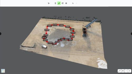
With Pointorama, the processing bottleneck is removed, making 3D laser scanning a viable, scalable solution for even the most complex projects.
Conclusion: 3D laser scanning is only as good as its processing workflow
While 3D laser scanning provides unmatched speed and coverage, its true value depends on how efficiently the data is processed.
With Pointorama, surveyors can harness the full power of point clouds, eliminating inefficiencies and unlocking the true potential of high-resolution 3D data.
📌 A scanner alone is not enough—without the right software, even the best hardware can create more problems than solutions.
Want to go deeper?
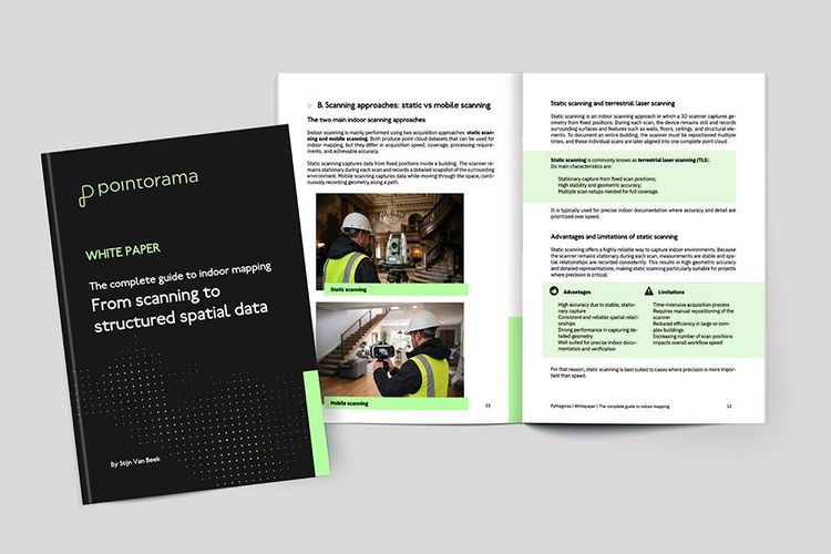
Dive into the fundamentals of indoor mapping and better understand the technology behind the workflow. Download our free white paper and discover how scanning, point clouds and floor plan generation come together.
Related articles
A practical guide to point clouds and point cloud processing
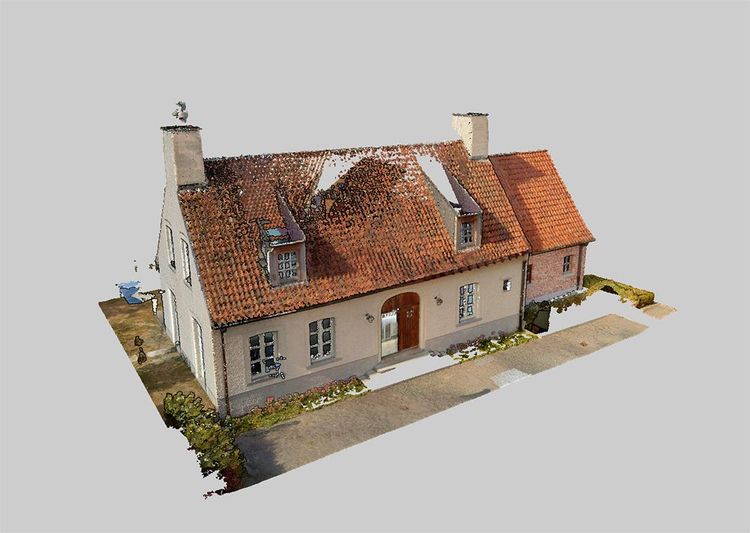
Point clouds are the foundation of modern surveying and indoor mapping. This article explains how point clouds are created, processed and validated to achieve accurate, survey-grade results, and why proper processing is essential for reliable measurements, floor plans and professional applications.

Scanning is getting faster. Now the workflow needs to catch up.
SLAM scanning is faster and more accessible than ever, but what happens after the scan? At INTERGEO 2026, one challenge came up again and again: the bottleneck is shifting from capturing data to processing it. We look at why the next efficiency gain in reality capture lies in the journey from scan to deliverable.
Choosing between static and kinematic scanning: finding the right fit
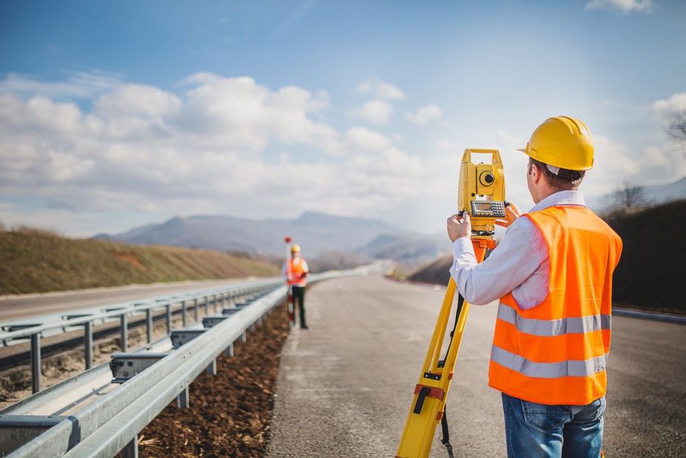
Looking for precision or speed? Static scanning captures ultra-detailed data from fixed points, perfect for architecture and engineering. Kinematic scanning maps large areas quickly, ideal for roads and urban planning. Each has its strengths - discover which one suits your project best!