From clutter to clarity: How Pointorama simplifies point cloud management
Discover Pointorama: the ultimate solution for surveyors. Simplify point cloud processing, reduce manual clean-up, and enhance collaboration with our innovative, cloud-based platform.

Welcome to the Pointorama revolution – where efficiency meets innovation!
The time-consuming challenge of point cloud clean-up
Surveyors invest a significant amount of time in data collection using scanners, aiming to perform precise calculations afterward. However, these scanners often capture unwanted elements such as reflections, noise, or unnecessary objects. As a result, what should be a straightforward process turns into hours of manual cleanup, delaying projects and increasing costs.

Organizing point clouds with a few clicks
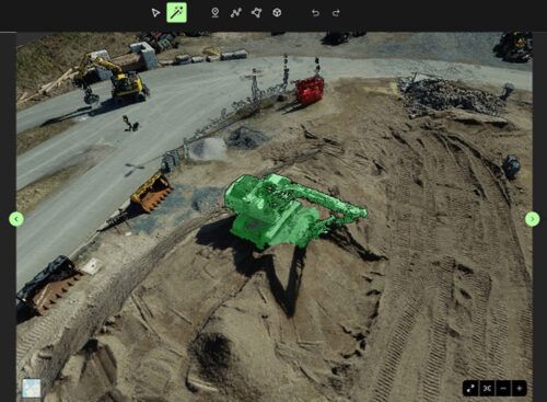
Pointorama changes the game by simplifying the clean-up process. With just a few clicks, your raw point cloud is transformed into a clean, usable version. This cleanup not only saves you valuable time but also reduces the margin for error, ensuring accurate results every time.
Seamless collaboration and sharing
Say goodbye to storage disks. Point cloud files can be massive, consuming large amounts of storage space on your hard drive. Many surveyors have resorted to purchasing additional hard disks or struggling with cumbersome email transfers to manage these files. Pointorama eliminates these storage headaches by leveraging cloud technology.
With Pointorama's cloud-based platform, sharing and collaborating on point cloud files has never been easier. Whether you're working on a project with a team member across the globe or simply need to share files with a client, Pointorama allows you to do so effortlessly. Collaborate in real-time, share files with a simple link, and enjoy the freedom of working from anywhere, all while saving time and reducing costs.

Unlock efficiency with Pointorama
We created Pointorama out of a genuine need to simplify the point cloud processing workflow for surveyors. By addressing the challenges of cleanup, storage, and collaboration, Pointorama empowers surveyors to focus on what they do best: delivering accurate and timely results to their clients.

Join the Pointorama Revolution
Don't let point cloud clean-up hold you back any longer. Embrace the future of surveying with Pointorama and unlock a new level of efficiency, accuracy, and collaboration. Say goodbye to tedious clean-up tasks and storage issues, and hello to a streamlined, cloud-based solution designed with surveyors in mind.
Visit our Product tour to learn more about Pointorama and start your free trial today. Experience firsthand how Pointorama can transform your point cloud processing workflow and propel your surveying projects to new heights.
Related articles

Scanning is getting faster. Now the workflow needs to catch up.
SLAM scanning is faster and more accessible than ever, but what happens after the scan? At INTERGEO 2026, one challenge came up again and again: the bottleneck is shifting from capturing data to processing it. We look at why the next efficiency gain in reality capture lies in the journey from scan to deliverable.
A practical guide to point clouds and point cloud processing
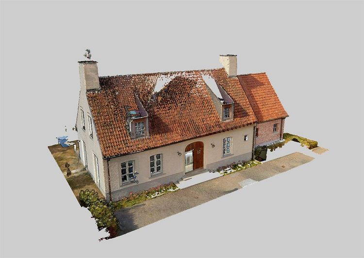
Point clouds are the foundation of modern surveying and indoor mapping. This article explains how point clouds are created, processed and validated to achieve accurate, survey-grade results, and why proper processing is essential for reliable measurements, floor plans and professional applications.
Stronger together: how partnerships drive innovation at Pointorama
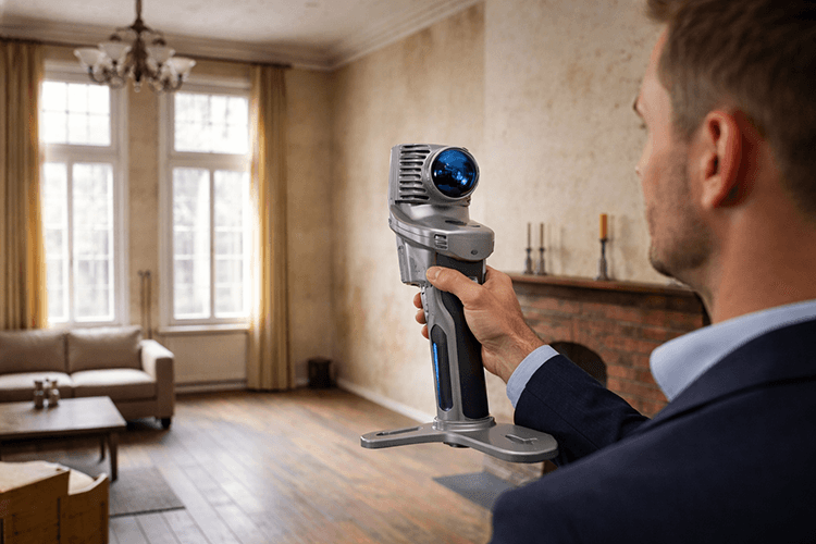
Partnerships are the driving force behind innovation at Pointorama. By connecting hardware, software and expertise, we transform raw scan data into structured, usable results through seamless workflows.