Revolutionizing indoor mapping of 3D scans
Pointorama transforms 3D scans into precise plans with advanced vectorization, saving time and reducing errors. Ideal for surveyors and architects, it delivers flawless results for both flat and sloped surfaces.
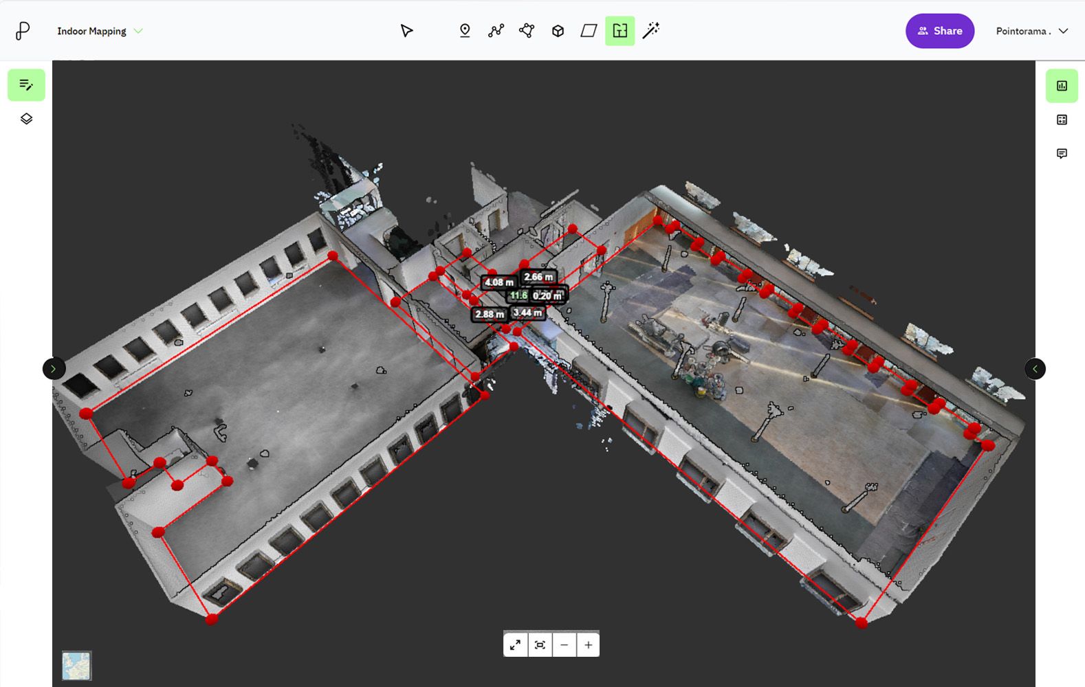
Capturing is easy. Drafting still isn't.
Indoor mapping involves creating detailed floor plans, elevation plans, and sections of buildings using 3D scans and point clouds. With advancements in scanning technology, capturing point clouds has become quick and easy, allowing surveyors and architects to capture accurate representations of indoor spaces.
However, the process of creating precise vectorized floor plans still relies heavily on manual drafting. Typically, surveyors draw vector lines on top of point clouds or create 2D section views, then manually trace lines. Both approaches are time-consuming and prone to errors. Small misjudgments, such as inaccurate positioning or incorrect elevation, can lead to significant discrepancies and costly mistakes, causing delays and rework.
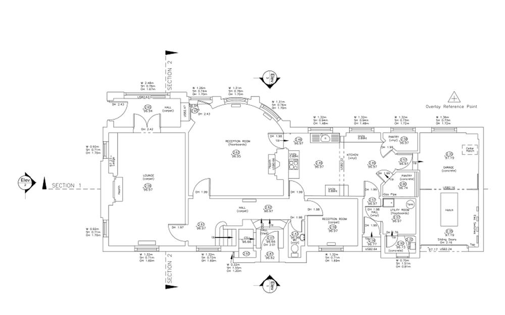
Why most automation falls short
While numerous floor plan solutions are available, many fall short in delivering the accuracy required for precise results. Most automated options on the market produce only rough outlines, relying on point cloud data that may contain noise or unexpected objects. Because these issues are not always properly filtered out, the automation often produces erroneous results.
This leads to the need for manual inspection and refinement—users are left to check each line, extend segments, and adjust positions. As a result, the automated process can reintroduce the very issues it was designed to eliminate, consuming additional time and increasing the likelihood of errors.
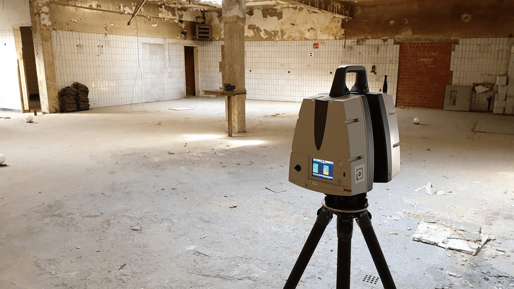
Plane-based vectorization, live
Detect planes, not lines
Our approach revolutionizes the traditional process by eliminating the need to manually plot lines. Instead, we focus on detecting planes in 3D space and their intersections, ensuring unparalleled accuracy. The user remains in full control throughout, visualizing the scan in 3D and making decisions with confidence, which minimizes errors to nearly zero.
By leveraging the power of three-dimensional space, our method achieves unmatched precision compared to conventional 2D techniques. This workflow is both highly accurate and incredibly fast, combining minimal user input with automatic plane fitting to ensure optimal efficiency.
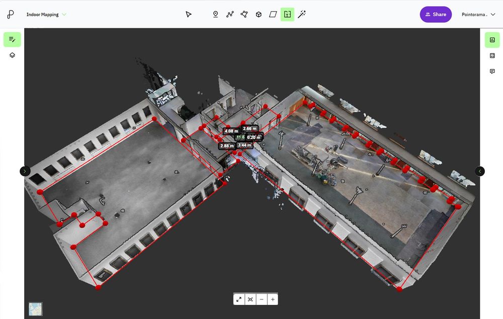
During the test phase, I had the opportunity to try out the tool, and I was truly impressed by the speed and accuracy of Pointorama's 3D floor plan vectorization tool. It's a game-changer! What used to take hours of manual adjustments now happens in minutes, with flawless precision. This tool will completely transforme the way we work—it's incredibly efficient and reliable!
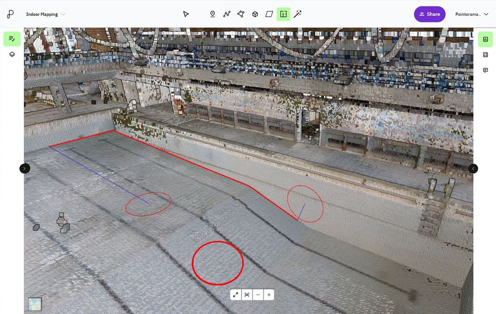
Flat or sloped, captured with precision
This tool is not only ideal for flat surfaces but also seamlessly handles sloped areas. Whether it's the footprint of a building or the surface of a rooftop, our technology excels in accurately capturing all surfaces, regardless of their incline. Thanks to its versatility, users can quickly identify and define different surfaces with precision, even in complex environments.
The best solution on the market
While various solutions for floor plan creation exist, many fall short in providing the accuracy and speed that users demand. Most automated options in the market generate only basic outlines, requiring users to manually inspect and refine each line, extend segments, and adjust positions. In contrast, Pointorama's approach removes these inefficiencies, offering a more precise and efficient solution. With our innovative technology, users can produce high-quality plans without the burden of extensive manual corrections, saving time and reducing the potential for errors.
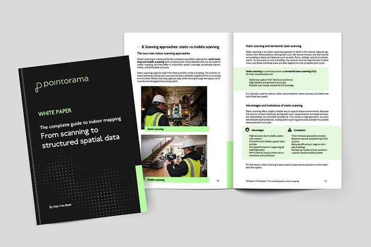
Download your free Indoor Mapping white paper
Dive into the fundamentals of indoor mapping and better understand the technology behind the workflow. Discover how scanning, point clouds and floor plan generation come together.
Related articles
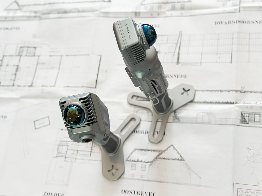
The fastest way to create accurate floor plans
Our community is growing, and therefore an introduction is in order. Pointorama turns scans into accurate 2D and 3D floor plans within minutes. With centimeter-level precision and seamless export to CAD and BIM, professionals can work faster, smarter and without the hassle of manual cleanup.
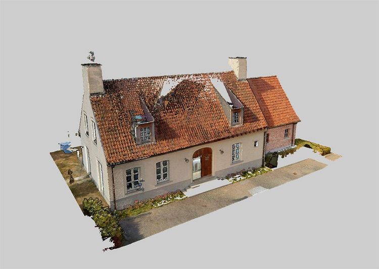
A practical guide to point clouds and point cloud processing
Point clouds are the foundation of modern surveying and indoor mapping. This article explains how point clouds are created, processed and validated to achieve accurate, survey-grade results, and why proper processing is essential for reliable measurements, floor plans and professional applications.

Innovations at Intergeo '25 – Discover the next features of Pythagoras CAD & Pointorama
Bezoek ons op Intergeo 2025 in Frankfurt en ontdek de nieuwste features van Pythagoras & Pointorama. Vraag je gratis ticket of boek een demo!