Transforming facade documentation with 3D scanning technology
Simplify facade documentation with 3D scanning technology. Our solution allows architects and surveyors to select features directly from scans, reducing errors and saving time. Achieve precise, reliable results for both facades and cross-sections - faster and easier than ever.
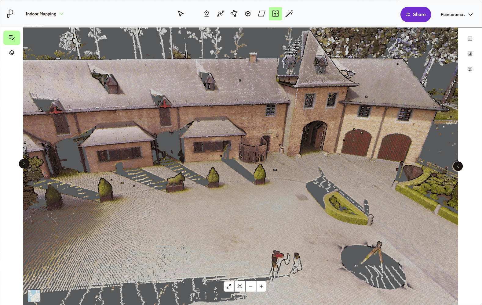
The challenge of traditional facade documentation
Creating accurate facade plans often requires manually identifying and connecting border points in the scan, a tedious process prone to small but costly mistakes. Even minor errors in aligning windows or walls can lead to inconsistencies, adding extra time and effort to resolve. While 3D scanning has optimized workflows, achieving high precision for complex facades — especially those with intricate or historic features — remains challenging and labor-intensive.
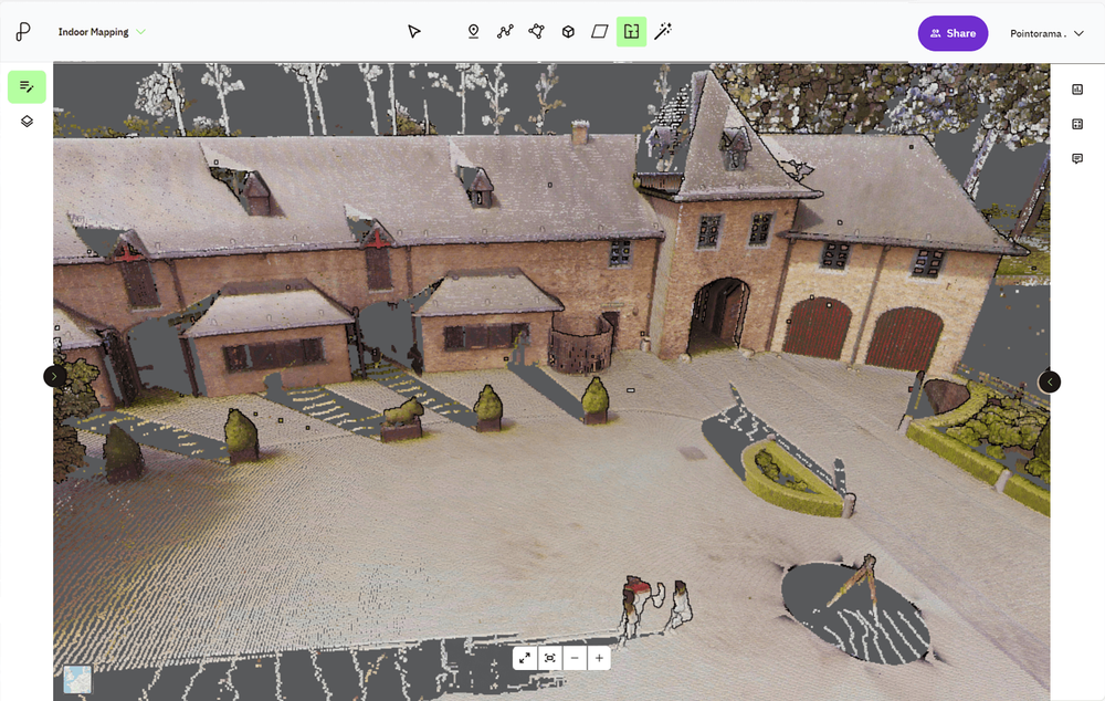
Limitations of existing tools
Numerous tools aim to simplify facade documentation, but many fall short when it comes to handling complex facades. Automated systems often produce rough outlines that still require manual verification and adjustments, which reintroduces the very issues they seek to solve. These inefficiencies add time and increase the risk of mistakes, undermining the accuracy and speed that today's projects demand.
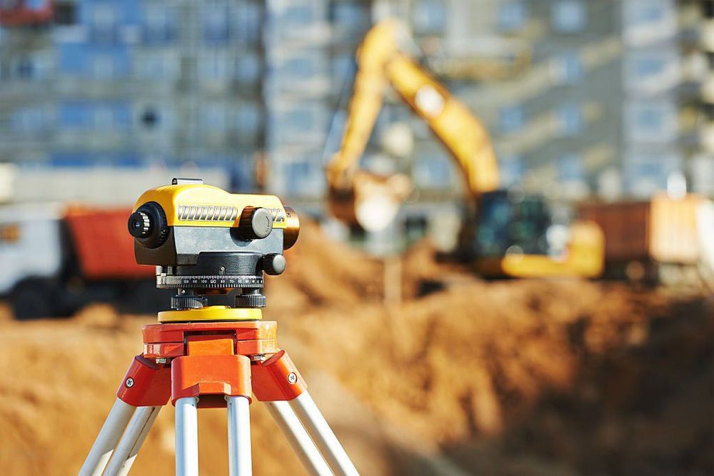
A new approach to facade documentation
Click instead of trace
Our advanced solution simplifies the entire documentation process by allowing users to simply click on walls, surfaces, windows, and other architectural details directly from scan data, bypassing the need for point-by-point adjustments. This technology enables precise alignment with real-world dimensions, minimizing the risk of small errors that could affect the overall project. By marking each prominent feature, architects and surveyors gain full control over layout and detail, ensuring every element is captured accurately and efficiently.
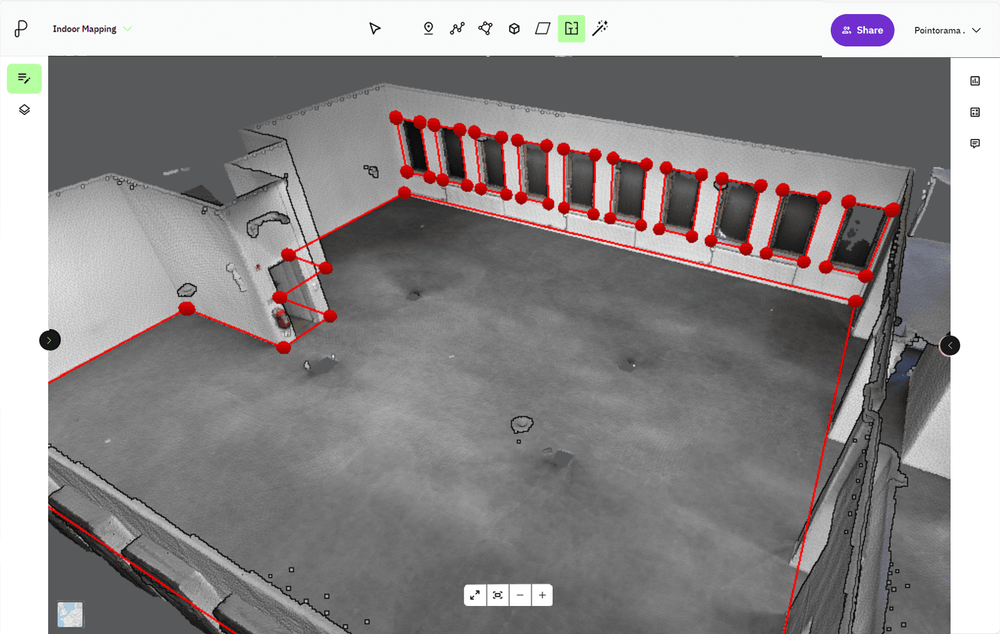
Streamlining cross-sectional documentation
In addition to facades, creating accurate cross-sectional plans from 3D scans is another vital yet challenging task. Our technology allows users to define exact cross-sections of structures, capturing essential architectural and structural details quickly and with precision. This is particularly useful in projects that involve complex interiors or require in-depth structural analysis, saving time while maintaining accuracy.
The complete solution for facade and sectional documentation
Our technology offers a complete, precise solution for facade and sectional documentation, eliminating the need for manual corrections and reducing errors significantly. Architects, surveyors, and preservationists can create high-quality plans directly from 3D scans, capturing every detail accurately the first time. This precision-focused approach to 3D scan vectorization enhances speed and reliability, streamlining workflows for modern facades, historic monuments, and complex cross-sections alike — meeting the demands of today's architectural and preservation projects.
Ready to see the difference?
Contact us today to learn how our technology can enhance your facade and sectional documentation projects! Start your free trial or get in touch.
Related articles
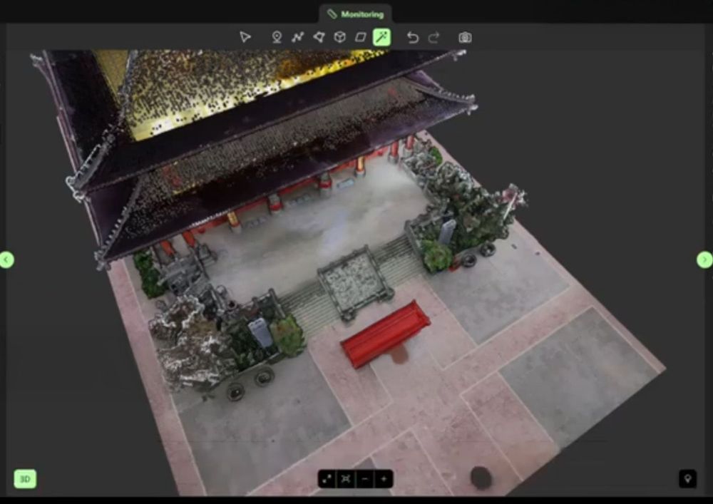
Partnering with OmniSLAM to deliver project-ready mobile SLAM data
Pythagoras and OmniSLAM collaborate to convert mobile SLAM scans into reliable, project-ready CAD and BIM deliverables using an open platform approach.
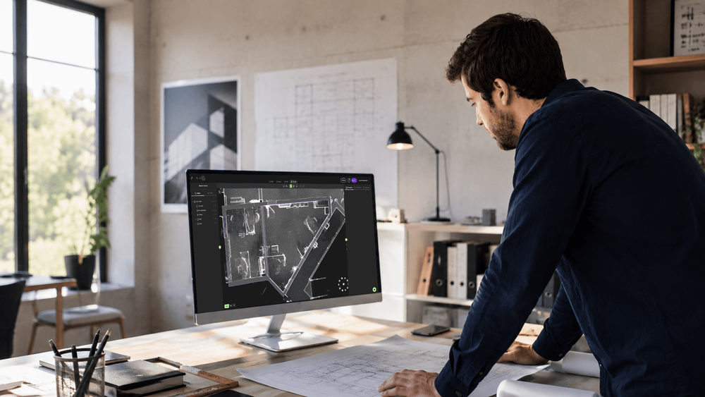
INTERGEO 2026: Meet Pointorama in Munich
Meet Pointorama at INTERGEO 2026 in Munich. Discover our latest Scan-to-Floorplan innovations, see live demos and claim your free visitor voucher.
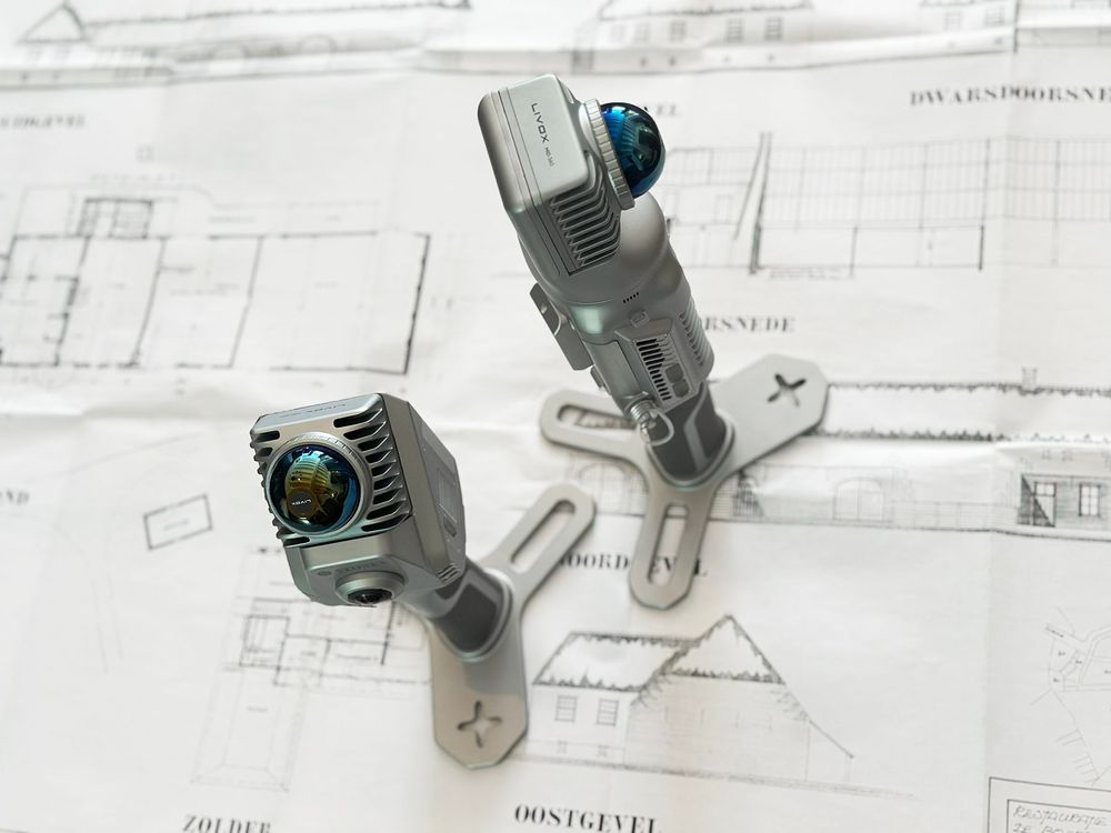
The fastest way to create accurate floor plans
Our community is growing, and therefore an introduction is in order. Pointorama turns scans into accurate 2D and 3D floor plans within minutes. With centimeter-level precision and seamless export to CAD and BIM, professionals can work faster, smarter and without the hassle of manual cleanup.