Choosing between static and kinematic scanning: finding the right fit
Looking for precision or speed? Static scanning captures ultra-detailed data from fixed points, perfect for architecture and engineering. Kinematic scanning maps large areas quickly, ideal for roads and urban planning. Each has its strengths - discover which one suits your project best!
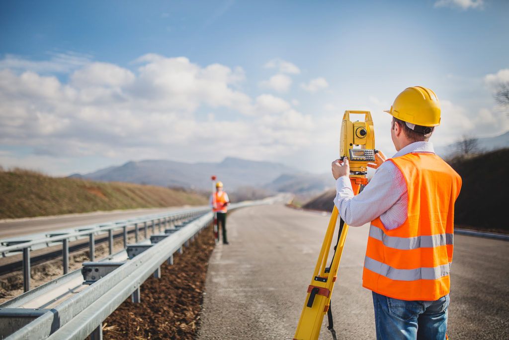
Static scanning: precision through stillness
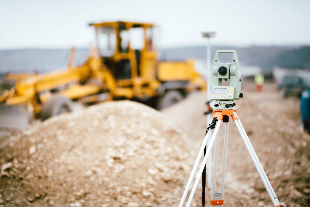
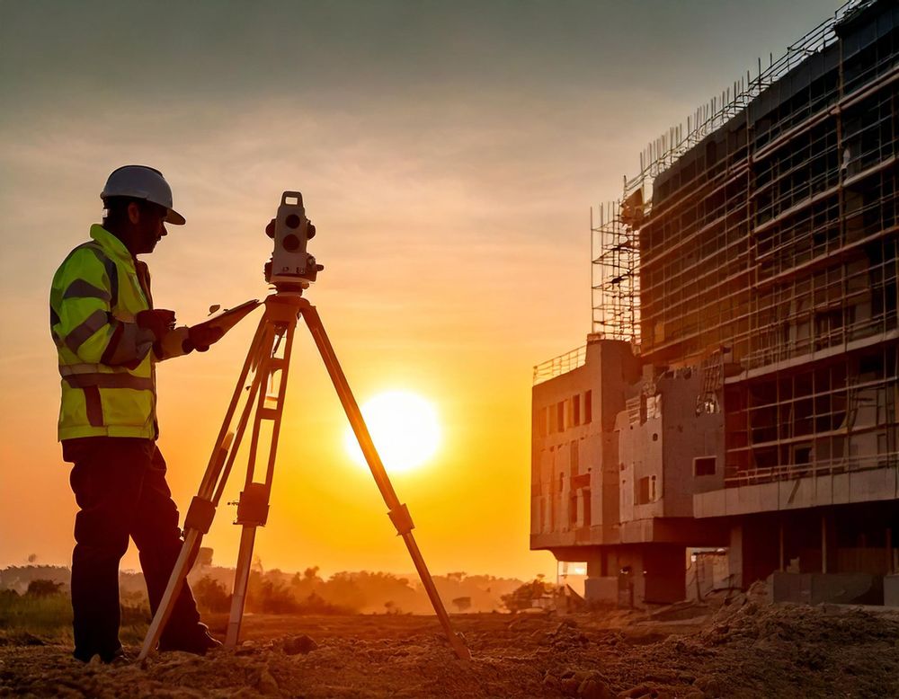
Static scanning involves placing the scanner at a fixed position to capture data from a single viewpoint. The scanner typically rotates to collect a full 360-degree view of the environment. Because the device is stationary, it delivers highly accurate and detailed results, making it an excellent choice for projects where precision is paramount. This method is often used for documenting architectural details, preserving cultural heritage sites, or conducting engineering surveys.
However, static scanning requires manual repositioning to cover different areas, which makes it time-intensive. Each individual scan must later be aligned during post-processing to create a complete dataset. While this meticulous approach ensures data accuracy, it can be less practical for larger, dynamic environments.
Kinematic scanning: speed in motion
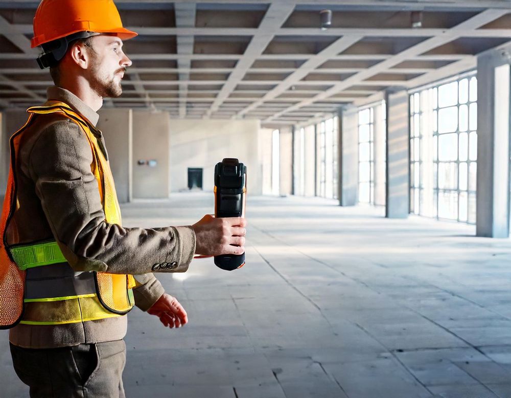
Kinematic scanning, on the other hand, captures data while the scanner is in motion. Hand-held or mounted on a moving platform such as a vehicle, drone, or backpack, it continuously records the environment in real-time. This method excels in efficiency, allowing surveyors to cover vast areas quickly, making it ideal for applications like urban mapping, road surveys, or infrastructure monitoring.
However, the mobility of kinematic scanning introduces potential challenges, such as motion-related distortions from vibrations or speed. Post-processing becomes critical to correct these artifacts and ensure usable results. While kinematic scanning may not match the precision of static scanning, it offers sufficient accuracy for large-scale or time-sensitive projects.
Comparing advantages and limitations
Both methods have clear advantages and trade-offs. Static scanning stands out for its unmatched accuracy and is particularly suited for detailed, small-to-medium spaces. Its primary drawback is the slower workflow, as each scan requires manual setup and repositioning.
Kinematic scanning, by contrast, shines in speed and efficiency, especially for dynamic or expansive environments. Yet, its reliance on mobility can introduce data imperfections, and the post-processing stage demands advanced tools to achieve reliable results.
Static vs. kinematic scanning at a glance
| Feature | Static scanning | Kinematic scanning |
|---|---|---|
| Movement | Stationary, capturing data from fixed positions | Continuous scanning while in motion |
| Speed | Slower, requires repositioning | Rapid, covers large areas quickly |
| Accuracy | Exceptional, ideal for high-detail applications | Moderate to high, depends on motion stability |
| Efficiency | Time-intensive for large projects | Highly efficient for expansive environments |
| Applications | Interior surveys, heritage preservation, facades | Roads, tunnels, urban planning, infrastructure |
| Setup complexity | Minimal, but requires frequent repositioning | Higher, involves calibration and mobile setup |
| Post-processing | Focused on aligning static scans | Involves correcting motion-related distortions |
Choosing the right method
The decision between static and kinematic scanning often comes down to project priorities. For highly detailed tasks like heritage documentation or engineering projects, static scanning is indispensable. Conversely, for broad, time-sensitive tasks such as urban planning or road surveys, kinematic scanning is the practical choice.
In some scenarios, combining both methods delivers the best of both worlds. Static scanning can focus on areas requiring precision, while kinematic scanning covers the broader context. Together, they create a comprehensive and efficient workflow.
Streamline your scanning process with Pointorama
Whether you use static or kinematic scanning—or both—effective data processing is crucial. Pointorama's advanced tools enable seamless integration and processing of your point cloud datasets, ensuring you get the most out of your scans. Discover how Pointorama can optimize your workflow and help you achieve exceptional results.

Want to go deeper?
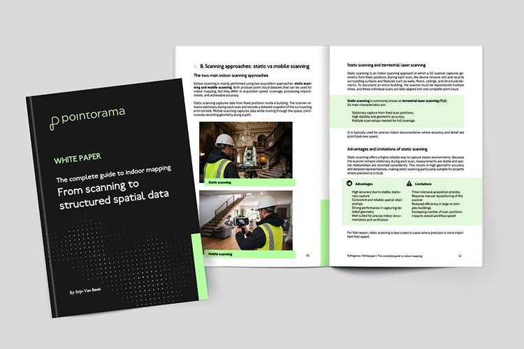
Dive into the fundamentals of indoor mapping and better understand the technology behind the workflow. Download our free white paper and discover how scanning, point clouds and floor plan generation come together.
Related articles
Point cloud registration: what it is and why it matters
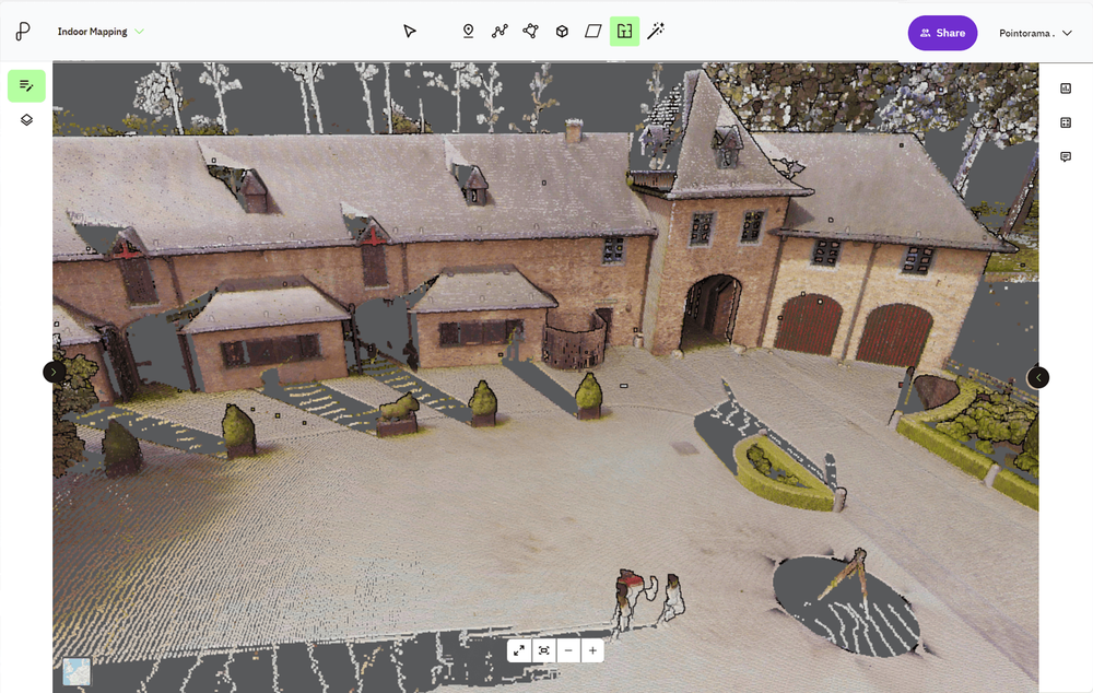
At GEO Business we talked a lot about smarter workflows, but it all starts with accurate data. And when working with multiple scans, that means registration. In short: point cloud registration aligns different scans into one coherent 3D dataset - so you can model, measure, and monitor with confidence.

Scanning for success: A case study in 3D property mapping
From hours to minutes: Smarter 3D property mapping Discover how a real estate team reduced their floorplan workflow from over 3 hours to under 40 minutes using handheld 3D scanning and point cloud processing - without sacrificing accuracy. A case study from our presentation at GEO Business 2025.
One request. One new feature.
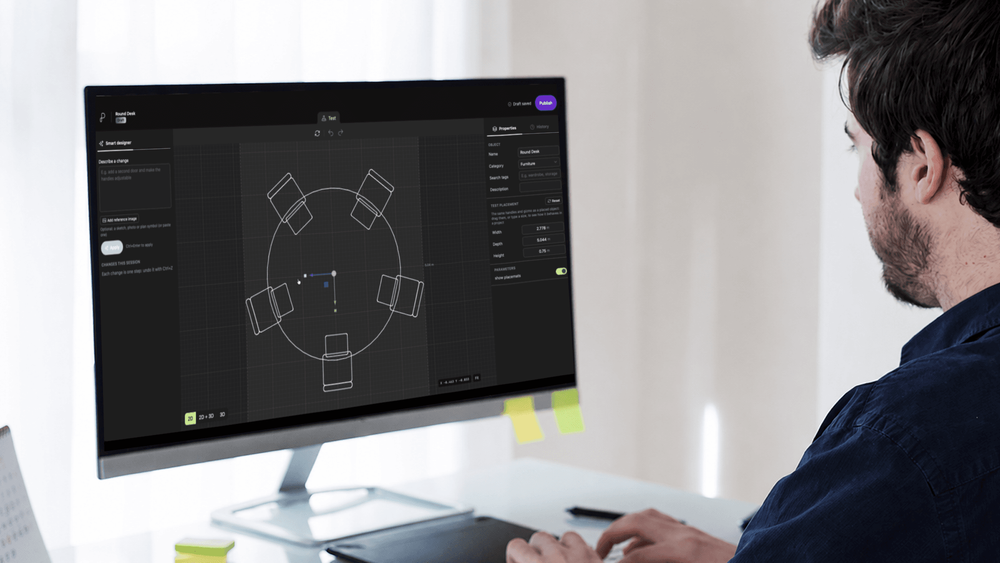
One question at INTERGEO sparked a new Pointorama feature. Discover how customer feedback inspired an AI-powered tool to create custom furniture for floor plans, now in testing.